The Special Achievers
Esri honored several organizations with awards at the Esri User Conference this year, including the creators of a popular COVID-19 dashboard.
Esri honored several organizations with awards at the Esri User Conference this year, including the creators of a popular COVID-19 dashboard.
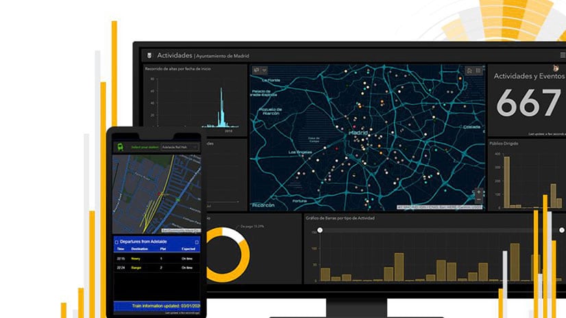
Adam Corcoran from Esri Ireland shares five tips on how to make your ArcGIS Dashboards more informative.
A Canadian city used ArcGIS and GNSS receivers from Eos Positioning Systems, Inc., to map social distancing signs in parks and on trails.
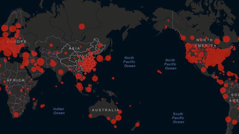
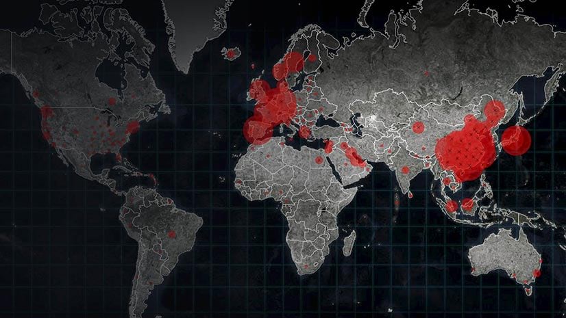
Associate professor Lauren Gardner of Johns Hopkins University talks about the impetus for and impact of her research team’s COVID-19 dashboard.
Esri technology evangelist Bern Szukalski walks you through how to create your first dashboard using ArcGIS Dashboards.
Este Geraghty, Esri's chief medical officer, explains how reliable data and location intelligence provide insights into the spread of COVID-19.
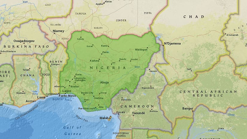
Cases of Lassa fever in Nigeria are being tracked using a dashboard created with ArcGIS Dashboards by Sambus Geospatial Nigeria Limited.
Creative thinkers find new ways to use ArcGIS Dashboards, such as the Real Estate Sales Dashboard from the Franklin County Auditor in Ohio.
GIS departments throughout the United States can provide their organization valuable information about the spread of COVID-19 as cases rise.