Mapping Wildlife to Save Lives
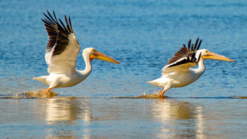
In Utah, knowing where and when the wildlife travel reduces the chance that planes will strike pelicans and vehicles will hit moose and deer.
In Utah, knowing where and when the wildlife travel reduces the chance that planes will strike pelicans and vehicles will hit moose and deer.
The new version of Navigator for ArcGIS offers directions in nine languages.
Global terrain elevation data for use in 3D clients and high-resolution imagery are just two of the latest updates to Data Appliance for ArcGIS,
