Modernize Your GIS
Is your utility GIS dated? Maybe it’s time to self-reflect and modernize.
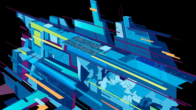
Is your utility GIS dated? Maybe it’s time to self-reflect and modernize.
Find out which Presidents of the United States went to college and what schools they attended.
Go on a two-minute tour and see what Esri technology can do, whether you need to create realistic 3D cities or a simple web map.
The world we know and love and call “GIS” has grown by many orders of magnitude since Roger Tomlinson coined the acronym in the 1960s.
ArcMap includes a catalog window you can use to organize and manage various types of geographic information.
Get excited, app aficionados! Some awesome Esri apps for working with geographic information just got way better.
Economist Edward Yardeni uses selfie to describe single people with money to spend on themselves.
Some simple and elegant ArcGIS Pro features will cause you and other mappers to cheer.
Use the scene viewer in ArcGIS Online to create 3D web scenes that show off natural wonders such as the Grand Canyon and Mount Vesuvius.
You can design bike lanes using the new Complete Streets in Esri CityEngine and then visualize the changes in 3D.
Add global demographic and spending data to your analyses. The data is available via ArcGIS Online and apps such as Esri Maps for Office,
Want to share a map presentation and add it to your website or blog? You can use Share in ArcGIS Online, which gives you the HTML you need...