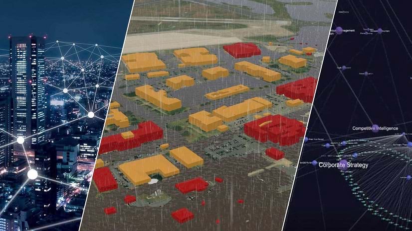
Esri Signs Strategic Collaboration Agreement with AWS to Advance Generative AI
The two companies will develop geospatial AI through new foundation models and advancing the next generation of ArcGIS AI assistants.
The two companies will develop geospatial AI through new foundation models and advancing the next generation of ArcGIS AI assistants.
James Neufeld, founder and CEO of Samdesk, explains how his company integrated corporate security management with geospatial AI.
In WhereNext in 2024, executives wanted to know about risk exposure and how best to deploy AI for growth.
Jay Theodore, Esri Chief Technology Officer, explains why organizations are combining AI and the geospatial thinking to make better decisions.
Esri Data Scientist Wendy Keyes explains why spatial thinking and AI are being combined to solve age-old problems.
In this presentation from Esri’s Developer Summit, Dr. Ling Tang demonstrates how geospatial AI can address conditions at a refugee camp.
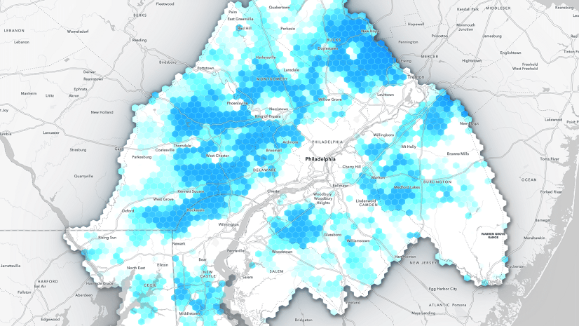
Orbital Insight's GO tool uses satellite imagery, artificial intelligence, geolocation data and ArcGIS Online basemaps to understand events.
Join a conversation about spatial analysis with Lauren Bennett, software development team lead for Spatial Analysis and Data Science at Esri.
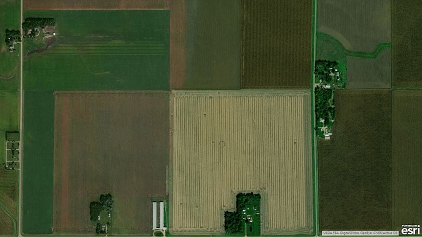
The United States Department of Agriculture is using artificial intelligence, machine learning, and GIS to help farmers boost production.
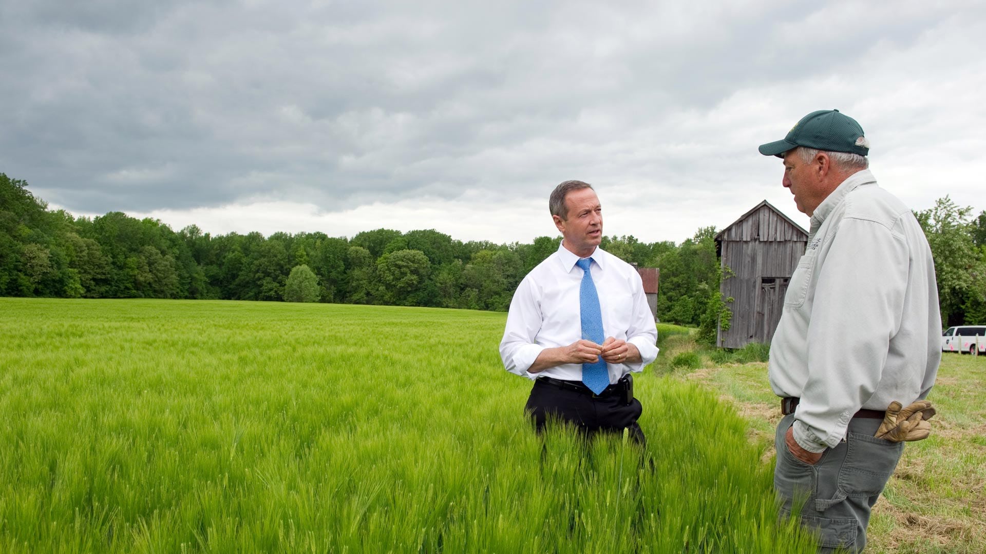
In his new book Smarter Government, former Maryland governor Martin O'Malley explains the role of GIS in good governance.
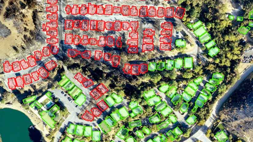
Find out how deep learning within ArcGIS was used on drone imagery to find structures damaged by the devastating Woolsey Fire.