
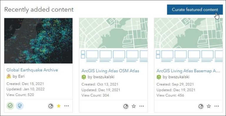
A great way to showcase the best layers, maps, or apps in your ArcGIS Online organization is to use a curated group gallery. ArcGIS Online groups allow you to collect items in your organization related to a specific topic. By default, the content gallery for a group displays the most recently added items under the group description. However, group owners, group managers, and members with administrative privileges to manage content in groups can curate a gallery of featured content instead of showing recently added items.
Follow the steps below to learn how to do this:
Step 1: Create a group in the Groups tab and add the desired items or open an existing group you want to configure. To learn how to create a group and add content, see Getting Started Creating Groups.
Step 2: Click Curate featured content. If you have permissions to manage group content, you will see the button in the upper right of the gallery.
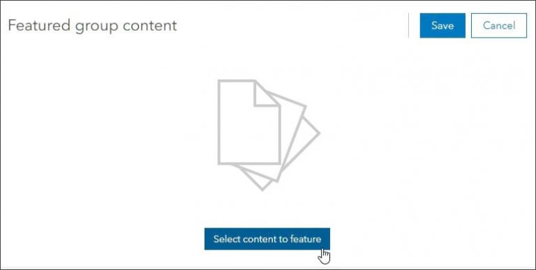
Step 3: On the next pane, click Select content to feature.
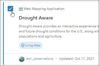
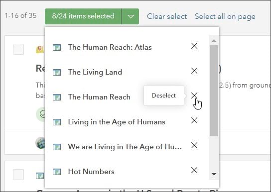
Step 4: Browse group content and select items to include in the curated gallery by checking the box next to the item description.
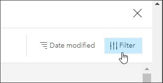
To quickly find specific content by item type, date created, or other attributes, click Filter in the upper right.
As you make selections, a count of selected items will display at the top. Open the drop-down menu to view or remove selected items. To remove all selected items, click Clear select.
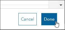
Step 5: Click Done when finished selecting items for the curated gallery.
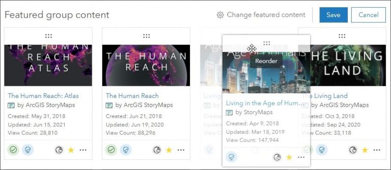
Step 6: Click and hold the bar above the thumbnail to change the order of gallery items. Drag the selected item to its new position.
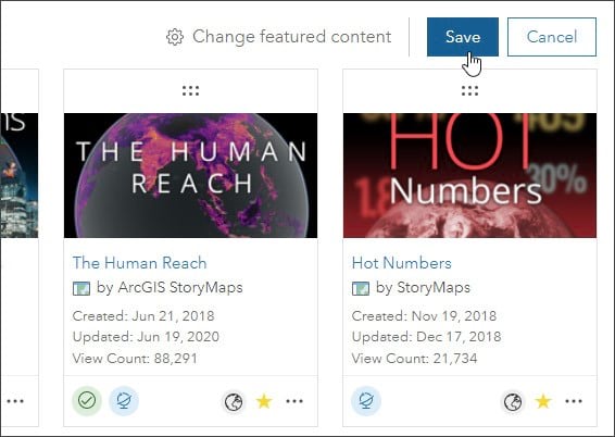
Step 7: Click Save when finished.
You can make changes to featured group content at any time. Click Edit in the upper right to change featured content or revert to recent content.


For more information about groups, visit these ArcGIS Online help pages:
