
Esri Press Publishes Free ArcGIS Online Tips and Best Practices E-book
Each ArcGIS Online organization has its own personality and look, and that’s a good thing. Every entity—whether it’s a federal or state agency, a province, a city, a county, a utility, a private business, or a nonprofit group—has its own mission, and that’s reflected in the geographic content it hosts in ArcGIS Online as well as in its content branding on internal or public-facing websites.
However, there are best practices and tips you can follow to make your ArcGIS Online implementation shine. The new free e-book Extend the Reach of Your GIS: ArcGIS Online Tips & Best Practices, published by Esri Press, offers that guidance.
Esri technology evangelist Bern Szukalski, senior product engineer Diana Lavery, and content strategist Matt Artz collaborated on the 62-page book, offering a step-by step framework for quickly configuring and implementing ArcGIS Online using best practices.
The e-book is based on a popular workshop that Szukalski, Lavery, and their colleagues have presented at the Esri User Conference over the past several years, called ArcGIS Online Steps for Success: A Best Practices Approach. As ArcGIS Online has evolved, so has the content of the workshop. The same will be true for the e-book—it will be updated with each new release of ArcGIS Online.
“You will learn how to implement your cloud GIS for delivering intelligent maps, apps, and analytics and how to share them with key users throughout your organization and beyond,” Szukalski said. “Whether you have already lifted your GIS to the cloud or are just beginning to think about it, you’ll get valuable ideas on how to leverage the cloud to your best possible advantage and experience.”
In the e-book, you will find tips and best practices on a wide variety of topics such as creating a vision and establishing a governance framework for your ArcGIS Online organization, developing your branding, and authoring maps. You will also find links to resources such as help documentation, Learn ArcGIS lessons, and blog articles.
To avoid frustration among organization members and others who use the geographic content, first carefully think through how you are going to use your ArcGIS Online organization and clearly define its purpose.
Szukalski and Lavery recommend that before you proceed with the launch, answer the following questions:
- What are the mission and vision for creating the ArcGIS Online organization?
- What workflows will it support?
- What problems will it solve?
- How will it improve or enhance the work that your organization does?
Stakeholders should form a governance committee. Committee members can—among other things—set up and document procedures and guidelines for various aspects of the ArcGIS Online organization such as creating professional-looking user profiles; thumbnail images of geographic content; and item details such as concise summaries, thorough descriptions, and tags.
“The better you document your item, the more valuable it will be to others,” the authors wrote.
Another chapter focuses on branding in order to communicate an identity that is professional and easily recognized. Aspects of this include creating strong visuals such as organization profiles and authoritative badges, as well as demonstrating value of the content by making sure, for example, that your maps and apps are well-made.
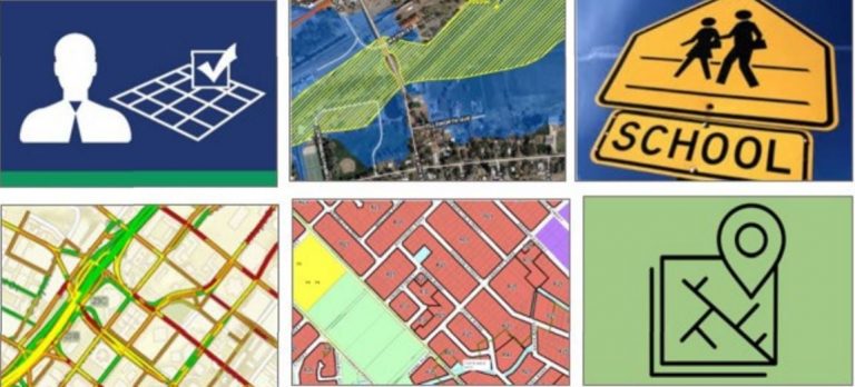
In another chapter, readers will learn about map authoring, using basemaps including vector basemaps, crafting good pop-ups, and working with image layers. Analysis tools in ArcGIS Online are highlighted in the last chapter.
While some of the topics covered in the book—such as designing a good-looking user profile or pop-up—may seem minor, they are actually very important, according to Szukalski.
“In my experience, it’s the little things that add up to make big differences in the success of your organization, whether it’s ArcGIS Online or ArcGIS Enterprise,” he said. “The little things are just little things, but when you sum them together, they can make a big difference.”
