“The maps are interesting, but the stories behind them are extraordinary.”
That’s how Esri president Jack Dangermond described the GIS work by dozens of organizations honored during the 2018 Esri User Conference (Esri UC) Plenary Session.
Each year at the Plenary Session, Esri sets aside time to acknowledge the accomplishments of the GIS community. Dangermond shows examples of fascinating maps that tell even more fascinating stories about how organizations use GIS in areas such as logistics, environmental monitoring, planning and urban design, and disaster preparedness and response.
“Your work is addressing virtually all the major challenges that we are facing in this most difficult time in global history, Dangermond said.
Recognized were the 2018 Special Achievement in GIS Award winners, along with the following organizations and individuals whose achievements in using GIS were noteworthy:
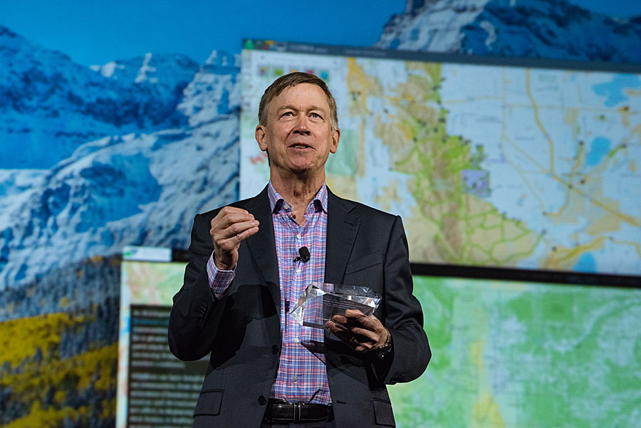
- Colorado governor John W. Hickenlooper received the Leadership in Government Award. Dangermond said that Hickenlooper, from his days as mayor of Denver to governor of Colorado, has been “spatializing government.” In thanking Dangermond for the award, Hickenlooper said, “Over 50 years ago, Marshall McLuhan said, ‘The medium is the message,’ and maps are a medium. Information is power . . . it’s a power to do good. Everyone in this room, you are problem solvers. I am a problem solver. I like to work with the smartest, best people I can find, and I like to have the best tools. You are all problem solvers, and you are creating the best tools, and I think the whole country owes you a debt.”
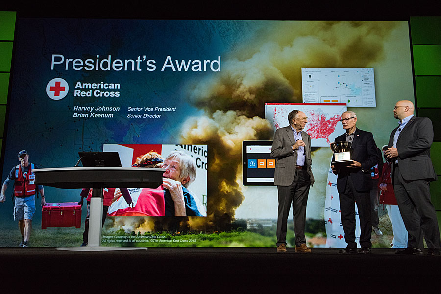
- The American Red Cross received the President’s Award. “This is an amazing organization,” Dangermond said. “I had the opportunity this year to go deep into their organization to see what they were doing in Texas and Florida [to respond to Hurricanes Harvey and Irma]. I watched them literally save people’s lives.” Accepting the award were Harvey Johnson, senior vice president of Disaster Cycle Services (DCS), for the American Red Cross, and Brian C. Keenum, senior director of DCS Business Infrastructure, for the American Red Cross. “As passionate as we are about GIS, we are more passionate about the outcome of using GIS,” Johnson said as he accepted the award on behalf of his organization, mainly made up of volunteers. “We do a better job of preparedness and a better job of response and recovery because of the tools we are able to apply at RC View, our version of GIS.”
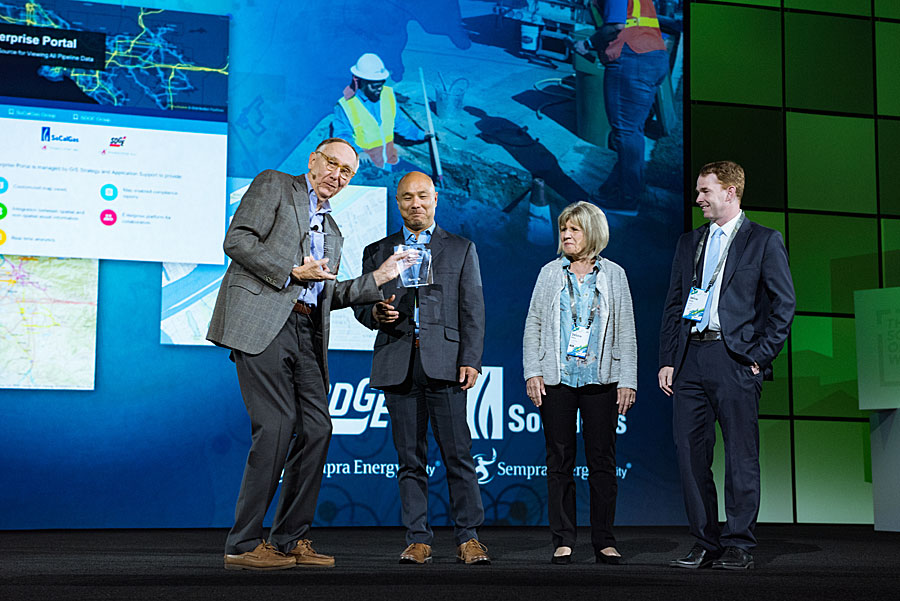
- SoCalGas and San Diego Gas & Electric (SDG&E), subsidiaries of Sempra Energy, were presented with the Enterprise GIS Award. Both use the Esri ArcGIS platform to map assets such as pipelines; monitor real-time information, such as the weather, fire perimeters, and the location of staff in the field during emergencies; and manage gas and electric outages.
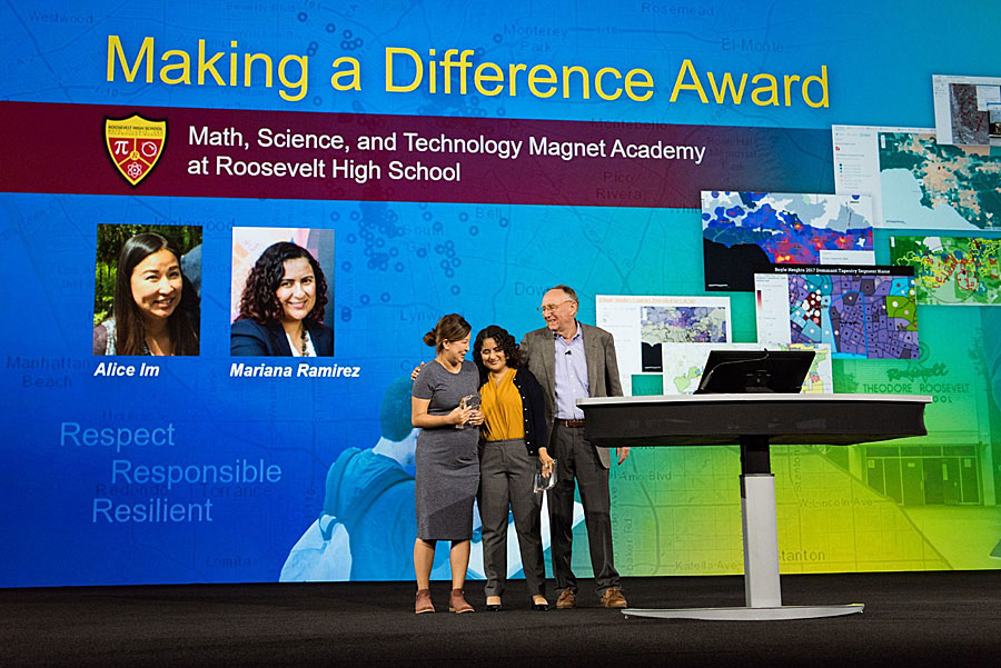
- Educators Alice Im and Mariana Ramirez, teachers in the Math, Science and Technology Magnet Academy at Roosevelt High School in Boyle Heights, California, were presented with the Making a Difference Award. “These are two amazing teachers,” Dangermond said. Im and Ramirez have used GIS in their classrooms for eight years, focusing on showing the students how to collect and map data to study issues important to their community. “The Science of Where is what I am teaching students,” said Ramirez. “[They] identify, collect data, visualize their data through maps, and then take action.”
Watch a video of the award presentations.
