
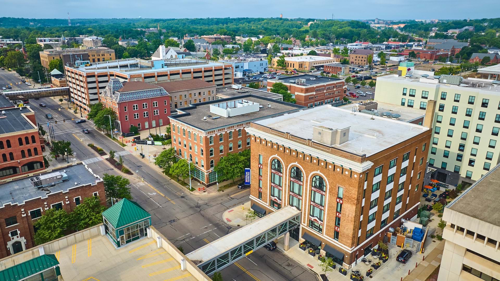
The historic buildings and neighborhoods of Kalamazoo, Michigan, preserve the unique stories and cultural heritage of this Midwestern town. The city has several districts and numerous sites—ranging from an opulent 1927 theater to an 1889 Romanesque train station—on the national registry that lists places deemed worthy of preservation.
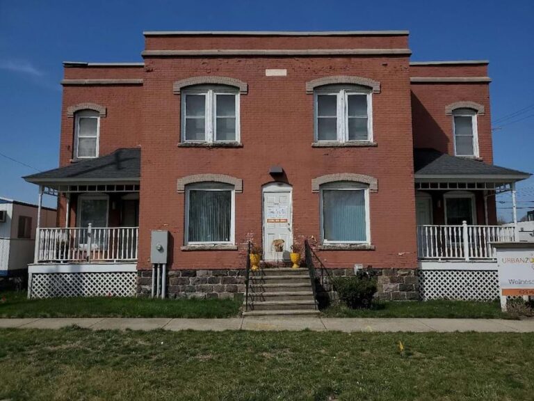
To help protect existing historical sites and discover new ones, city officials started the Inventory Kalamazoo project. This ongoing survey of historical resources aims to document properties throughout the city to help determine if they are eligible for local, state, or national designation. The initiative relies on field-based surveys conducted by volunteers who take photos to record the current condition, architectural style, and physical characteristics of a property.
“Survey work is the foundation of all preservation work. Preserving historic places in Kalamazoo is important because it allows us to keep a tangible link with the past,” says Luis Peña, historic preservation coordinator for the City of Kalamazoo.
The information collected provides the city with the baseline details needed to determine if properties are eligible for the National Register of Historic Places or a local historic district designation, which can unlock preservation grants for the city or tax credits for property owners for historic rehabilitation. The project also helps uncover the histories of underrepresented communities in Kalamazoo, elevating stories that may have been marginalized.
Inventory Kalamazoo is a large-scale project that, most recently, involved surveying more than 3,300 properties in four Kalamazoo neighborhoods. To complete the survey, Katie Smithberger and Cassandra Talley, architectural historians and the founders of Loggia Preservation, needed to be able to see what had already been done and what work remained.
Using parcel and volunteer-collected data from the city, Smithberger and Talley utilized ArcGIS Pro to create a color-coded map of all survey areas. This allowed them to monitor progress and streamline fieldwork operations for this vital project, which supports city planning and preservation efforts.
A New Solution with ArcGIS Pro
The process for conducting a historical survey is straightforward: Historians walk or drive down each block and photograph each building and site. However, since volunteers had already sporadically surveyed about 50 percent of Kalamazoo’s resources within the project’s survey area, Smithberger and Talley wanted to create a shareable map to display where work still needed to be done.
To make the map, Smithberger and Talley worked with Kalamazoo’s historic preservation coordinator, Luis Peña, and the city’s GIS analyst, Ben Clark, who provided the city’s parcel data as well as data on which resources had already been surveyed.
From the parcel data in ArcGIS Pro, Smithberger made a Microsoft Excel spreadsheet that served as a primary list of the properties in the survey area. She then created a secondary Excel file that listed the resources documented by volunteers. This file was used to update the primary list, and each resource was categorized to reflect its status with labels such as “retake” or “survey complete.” Smithberger and Talley also reviewed photographs taken by volunteers to determine if they needed to be redone.

The updated primary list was then rejoined to the parcel data in ArcGIS Pro. Each parcel was labeled with its street address, and the symbology reflected the survey status. Smithberger likes using ArcGIS Pro for historic surveys because having immediate access to existing city and county parcel data gives her important information about each property, such as its coordinates and the approximate year of construction.
“This information is extremely helpful and is used to complete inventory forms, organize the data, [and] understand the development of an area,” she says.
After visualizing the data in ArcGIS Pro, Smithberger and Talley made a map of each neighborhood that contained the color-coded, joined parcel data. Working within budgetary and workflow constraints, they then printed the maps for use in the field.
Mapping the Way Forward
With the maps, Smithberger and Talley easily planned their routes and quickly assessed whether a resource needed surveying. As they completed each survey, they crossed off that parcel, tracking fieldwork progress at a glance.
Easy-to-read visuals and up-to-date survey details streamlined the overall process. The Kalamazoo survey work took about two weeks to complete, and Smithberger estimates that without the maps, it would have taken about twice as long.
“Without this method . . . identifying the resources to be surveyed and completing fieldwork would have required at least double the hours,” says Smithberger. “This would have translated into either a significant reduction of resources surveyed for the city or an increase in the project’s cost.”
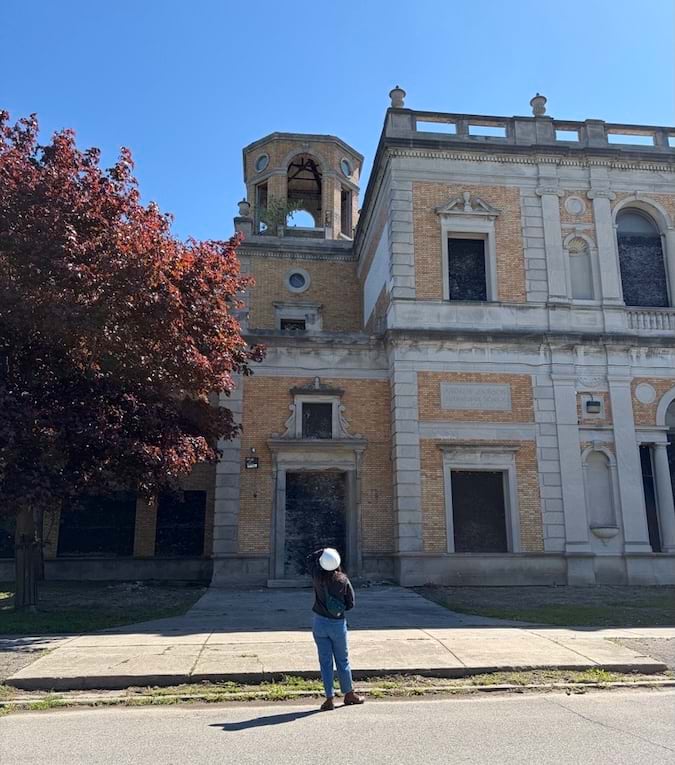
Historical preservation is important because it documents and protects the stories of people who have made a particular place significant, says Smithberger. This inventory project helped the city identify resources that would benefit from additional evaluation, such as in the Northside, Kalamazoo’s historically African American community. Also, Smithberger and Talley recommended historic designation for specific districts and properties, preserving these places for future generations.
“This particular project was important because it furthered the documentation of historic buildings in Kalamazoo, in areas that had not been formally surveyed and evaluated before, and utilized information that residents and the city had already collected,” says Smithberger.
Peña adds that because some neighborhoods have been left out of preservation work in the past, Inventory Kalamazoo was an opportunity for the city to right this wrong. The project helps empower communities, he says, “by showing that every neighborhood in Kalamazoo has a full and rich history.”
For more information about this project, email Katie Smithberger at katie@loggiapreservation.com.