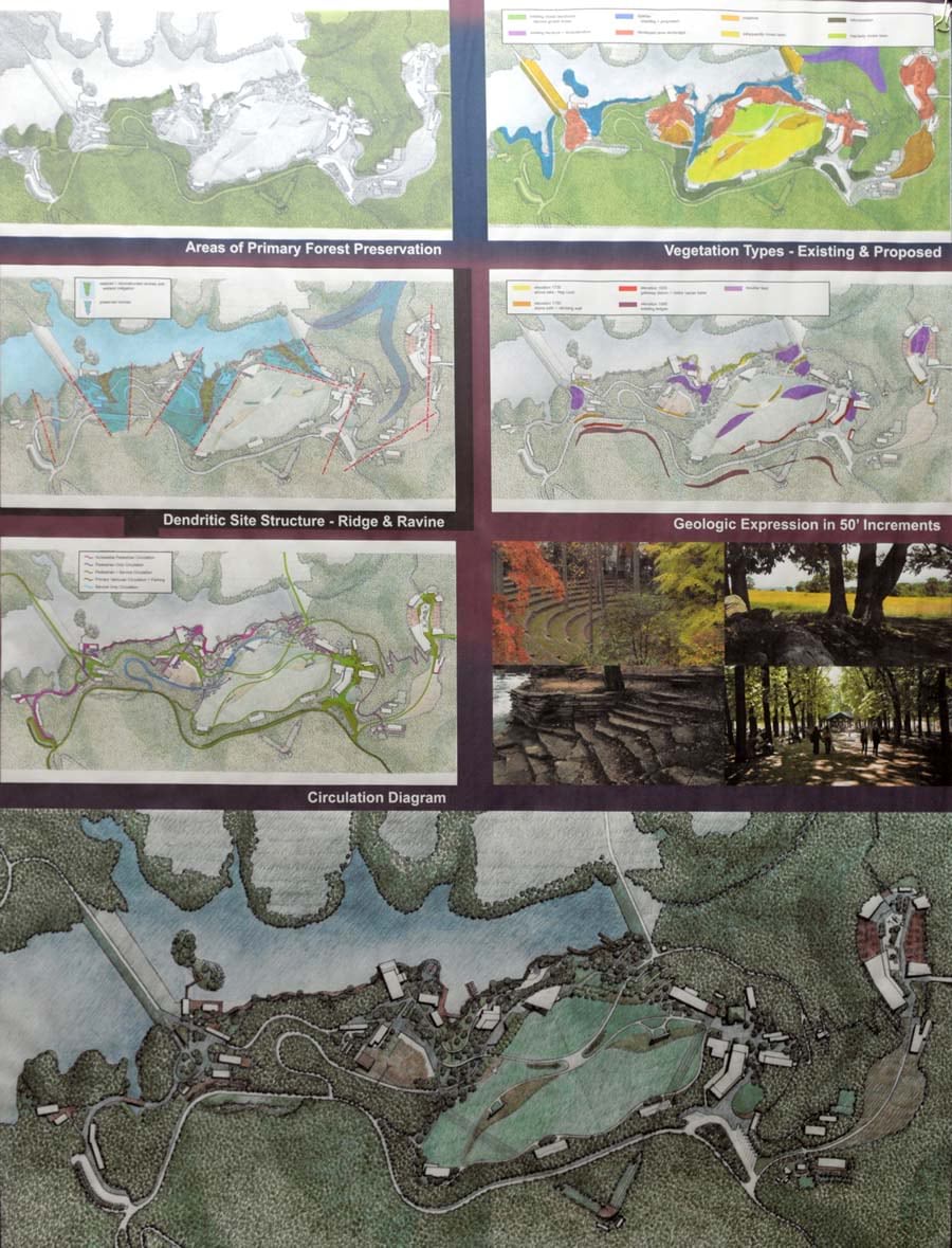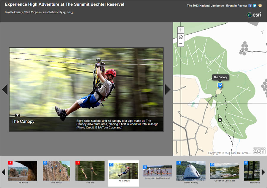
Summit Bechtel Reserve (The Summit) in West Virginia serves as what the Boy Scouts of America (BSA) calls an “adventure center” for millions of young people and adults involved in scouting. For Sarah Linden, the technology and innovation program manager for the BSA Summit Group, The Summit is also one very big geodesign project.
Linden was first hired by Trinity Works Inc., an Esri Partner, in 2011 to build the geographic information system (GIS) platform for The Summit, which is owned by the BSA. Trinity Works became the project developer of The Summit in 2009, acting as the BSA’s representative responsible for managing the planning, design, and development of the 10,600-acre site.
Linden created the GIS platform from scratch using ArcGIS.
“ArcGIS today looks very different today than it did when I joined the Trinity Works team,” Linden said. “It has enabled me to reach further and faster, providing adaptive and quickly responsive solutions to complex projects.”
With an education in both GIS and landscape architecture, Linden sees the planning, design, and placement of the venues, campsites, utilities, dining facilities, and so on—as one of the largest geodesign projects in United States history.
She managed all site development and program-related Jamboree data for the project, creating and organizing all information through geodatabases. Linden worked with a wide variety of data types including drawings (often submitted in AutoCAD .dwg format) from nearly 100 consultants and contractors, lidar data collected during three flights completed between 2009 and 2013, as-built data from field surveys, and GPS coordinates that crews submitted for things like pedestrian and mountain bike trails.

She said that using Esri technology, which included ArcGIS for Desktop, the cloud capabilities of ArcGIS Online, and ArcGIS for Local Government Data Model templates, helped her build a robust GIS platform that planners, designers, developers, program directors, volunteers, and—most importantly—Scouts will use for years to come.
Both the BSA and Trinity Works staff stepped up to help in many ways. “We became a geo team over the past three years—there are more people who contributed to and rallied for geospatial solutions at The Summit than I could ever name,” Linden said. “In this way, I believe we have expanded the definition of geodesign. For The Summit, geodesign means the integration of complex land planning, programming, and site challenges with people who aim to find solutions.”
Isaac Manning, president of Trinity Works, said ArcGIS was invaluable and instrumental in the planning and design process for The Summit. “Trinity Works believes in providing clients with sustainable solutions. ArcGIS has allowed us to bridge the gap between planning and design, development, and site operations. At the end of the day, we knew we needed to complete site development and deliver a 50,000-plus person event simultaneously. To do this, we had to be efficient, and ArcGIS provided the only way to reach that goal. It enabled us to develop, manage, and communicate from one platform.”

