GIS Day provides an international forum to demonstrate real-world applications of GIS technology that are making a difference today in our society. Stories about how people celebrated GIS Day 2017 are still flowing in from more than 1,200 events that were held in mid-November including places such as Belgrade, Serbia; Munich, Germany; London, England; Kuwait City, Kuwait; Sydney, Australia; Santa Catarina, Brazil; Nairobi, Kenya; and Murfreesboro, Tennessee, United States.
People continue to post their GIS Day experiences and events to the How did you celebrate GIS Day? story map. Five short stories are excerpted below.
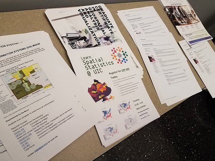
Moira Zellner, associate professor at the University of Illinois at Chicago (UIC), Department of Urban Planning and Policy, and director of the Urban Data Visualization Lab (UDVL), said that GIS Day at UIC was a dynamic and engaging event with presentations that spanned a wide variety of topics: validating images captured remotely by robots, assessing flooding susceptibility and food access in the Chicago region, examining the mechanisms of gentrification over time, estimating the best location for green infrastructure and electric vehicle charging stations, developing water-themed visual storytelling tools, and exploring evolving data infrastructure needs.
The event ended with demonstrations on how to use GIS platforms and how people can create their own applications. Of the 80 attendees, more than half were from outside the university, representing governmental agencies, nongovernmental organizations, private companies, and academic institutions in the Chicago region.
The event gave everyone the chance to exchange ideas and discuss new applications. This year’s event was dedicated to the memory of Al Schorsch III, founder of UDVL at UIC and a champion of visualization technology to advance science and policy. He passed away in late October 2017.
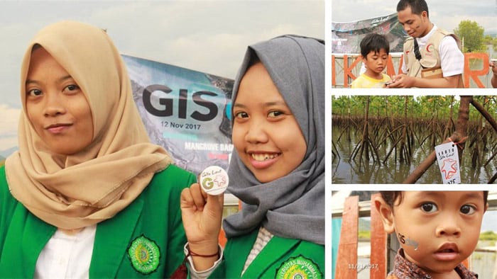
In the Begek Kembar ecotourism area of mangroves in Indonesia, GIS Day was celebrated out in the field. Participants played a location game called Gita Laut GO! (a game similar to Pokémon GO). Organizer Muhammad Barmawi of the Ministry of Marine Affairs and Fisheries reported that, “one goal of the event was to build community awareness about [this] the unique environment.”
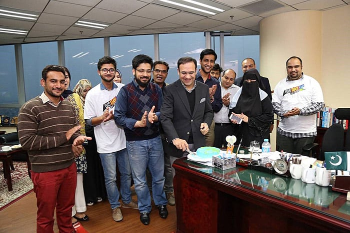
A celebration in Pakistan included snacking on a cake decorated with a map of the world. Syed Zaheer Hussain from the Punjab Information Technology Board in Lahore, Pakistan, sent in a photograph of staff cutting the GIS Day cake at the Punjab Information Technology Board and the Software Engineering group.
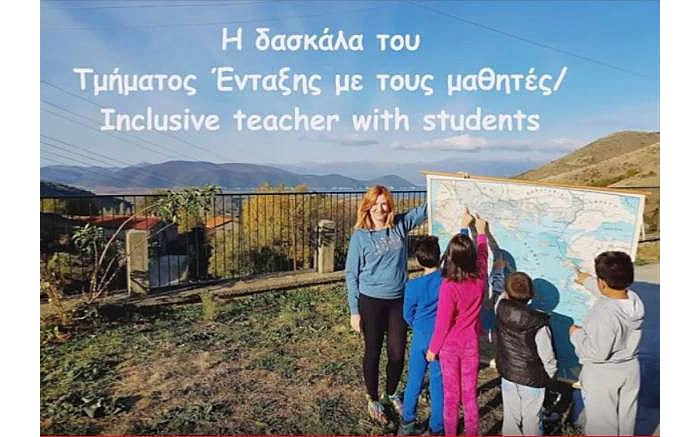
In Greece, Vivi Antoniou, who works at the 9th Primary School Kastoria as primary administrator for the Ministry of Education, shared this video, showing students at several primary schools in Greece learning about the world via GIS, maps, and globes in the classroom and out in the field.

Timothy Hawthorne, an assistant professor of GIS, and his Citizen Science GIS team invited 375 primary and secondary students to the campus to fly and learn about drones and investigate their community and world using interactive web maps in ArcGIS Online. His university students also gave a presentation on what they are doing with unmanned aerial vehicles (UAVs) and GIS technologies in Belize.
A GIS career panel also was held on GIS Day, and Hawthorne and Joseph Kerski, Esri education manager, gave a presentation to education and sociology faculty members at the university, showing them how they could use GIS in their own instruction and research.
Kerski also said he gave a keynote address on five forces acting on GIS, five GIS trends, and the five most valuable skills for those seeking to use GIS in their career. (The presentation is available here as a story map.)
Did you host an event in 2017? If so, feel free to add it to the How did you celebrate GIS Day story map. Did you miss out? It is not too early to start planning for next year’s GIS Day, which will be on November 14, 2018.