Whether you attended the Esri User Conference in July or kept up with what happened at the Plenary Session via Esri’s online videos or social media posts, the event likely inspired you to think more deeply about what you can do for your organization with GIS technology.
Two new books from Esri Press will give you additional food for thought and the knowledge to put your ideas into action, especially in the areas of land-use planning, conservation, ecology, and cartography.
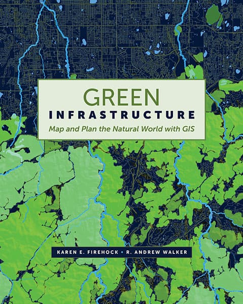
Green Infrastructure: Map and Plan the Natural World with GIS, authored by Karen E. Firehock and R. Andrew Walker, outlines the process and techniques for creating a green infrastructure plan. Readers will learn why it’s important to take nature into consideration before and during development or when prioritizing where to set aside land for conservation. The book details how Esri teamed up with the Green Infrastructure Center (GIC), a nonprofit organization based in Charlottesville, Virginia, to create a national green infrastructure (GI) model that communities can use to analyze and visualize core habitats and the corridors that can be used to connect them. Such corridors are important in that they allow wildlife to move between habitats unobstructed by roads, houses, or other development.
The book also stresses the importance of green space to residents’ health. “Many studies show the importance of green spaces for both mental and physical health,” wrote Firehock and Walker. “Just being able to see green spaces can reduce illness and stress.”
The model can be applied with ArcGIS Pro, ArcGIS Desktop, or GeoPlanner for ArcGIS, while four web apps that Esri created can be used to weight landscape characteristics to help rank or prioritize intact landscape cores. The apps can also be used to identify and evaluate the areas that have characteristics earmarked for protection, such as land with a specific biodiversity index score; mountains, plains, or other landforms; and agricultural soils.
“[The book] explains how to use the GI model for the United States to craft accurate, data-driven maps that facilitate local GI planning on the ground, where land-use decisions are made every day,” wrote Firehock and Walker. “The data provided by this model can be altered to reflect local priorities, allowing the planner or user to sort information according to which aspect of the planning geography is most important.” One of the book’s chapters is devoted to explaining how to locate the data for GI planning, and another focuses on mapping that data. Green Infrastructure also outlines the six-step process that the GIC developed to come up with a GI plan and includes what the authors call “strategic actions” to protect or restore green infrastructure. “The steps help users and planners identify, assess, evaluate, and prioritize GI assets,” Walker and Firehock wrote.
Firehock is cofounder and executive director of the GIC and is an adjunct faculty member in the Department of Urban and Environmental Planning and Landscape Architecture at the University of Virginia. Walker works as a GIS analyst, modeler, and land planner with more than 10 years of experience conducting GIS analysists and modeling with an emphasis on urban and environmental planning.
Green Infrastructure is available in print [ISBN: 9781589484863] or as an e-book [ISBN 9781589484924] for $49.99. Learn more about developing green infrastructure strategies and plans by visiting Esri’s Green Infrastructure web page.
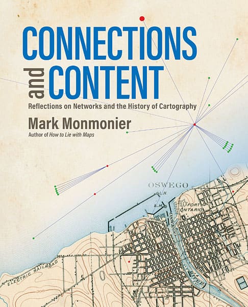
Readers interested in the history of cartography will enjoy reading geographer Mark Monmonier’s new book, Connections and Content: Reflections on Networks and the History of Cartography. Monmonier is a distinguished professor of geography at the Maxwell School of Citizenship and Public Affairs at Syracuse University in New York.
The book grew out of Monmonier’s interest in maps as networks dates back to when he was a boy in Maryland, where his father worked for the Baltimore and Ohio Railroad. Monmomier poured over train schedule maps, the Official Guide of the Railways, and the city of Baltimore’s bus and streetcar network maps.
In his book, Monmonier uses historical maps to offer insights into the relationships between networks and maps. “Maps as networks,” he writes, “is an ideal theme, or leitmotiv, for teaching and understanding the historical development of modern cartography, which evolved with the aid of mathematics and electronic computation from a clever integration of telescopes, rules and spirit levels to…satellites, computers, databases, telecom links, and lidar. “
Monmonier covers topics such as the triangulation networks that established the baselines to set a map’s scale; postal and electronic networks that created and disseminated weather maps; topological networks that underlie satellite navigation systems and census enumeration; and survey networks used to situate and construct railways, roads, power lines, and canals.
Connections and Content is available in print [ISBN 9781589485594] or as an e-book [ISBN: 9781589485600] for $39.99.
Earlier this year, Esri published several other books geared toward GIS professionals and others involved or interested in mapping and spatial analysis, including GIS for Science: Applying Mapping and Spatial Analytics, Introduction to Human Geography Using ArcGIS Online, and Switching to ArcGIS Pro from ArcMap.

