
Esri Publishes Lindsey the GIS Professional: A GIS Mapping Story
Do you have a child, grandchild, niece, or nephew in grades 1 through 5? Young people in your life might be interested in learning how to make a map using the technology you work with daily.
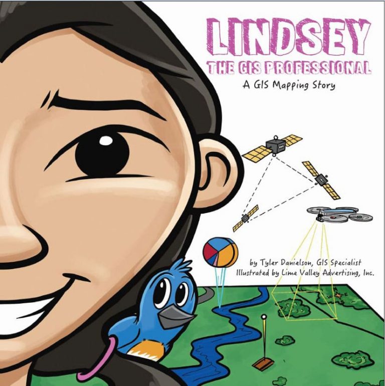
Lindsey the GIS Professional: A GIS Mapping Story, a book from the civil engineering firm Bolton & Menk, Inc., and recently published by Esri Press, makes that happen. The book follows the character of a girl named Lindsey as she collects the data on her favorite park using a smartphone and drone. She then uses GIS technology to make a digital map of the park.
he book uses text and drawings to explain the process of data collection and defines GIS terms and concepts. Children will learn some basic terms such as spatial data and basemaps. The book also discusses vector and raster data and analysis, nonspatial data, attributes, and north arrows and scale bars.
Mapping activities and other resources are available for download from the free complementary website, LindseyLovesMaps.com. On the site, educators will find information about curriculum standards and a teacher’s guide with suggestions for how this book can be applied to instruction relevant to subjects such as language arts, creative arts, math, and science.
You also will find free online lessons that teach children more about GIS and how to use the technology. Downloadable activities include a maze puzzle to find Lindsey’s lost drone, data collection, analysis, and mapping exercises, and a connect the dots game.
The website also reveals the real person who inspired the character of Lindsey. She is all grown up now and working as a GIS instructor.
The book was written by Tyler Danielson, a GIS specialist who works for Bolton & Menk, Inc.
Lindsey the GIS Professional is the first in a series of science, technology, engineering, arts, and mathematics (STEAM) career-themed picture books originally published by Bolton & Menk, Inc., that Esri plans to release.
This fall, Esri will also publish Parker the Planner: A City Planning Story and Green Trees and Sam: A Landscape Architecture Story. Bolton & Menk, Inc., owns the copyright to the three children’s books.
(Esri, print edition ISBN: 9781589486126, US$7.99)
