With the launch of the Community Maps Editor app, there are now three ways to contribute to the Community Maps Program.
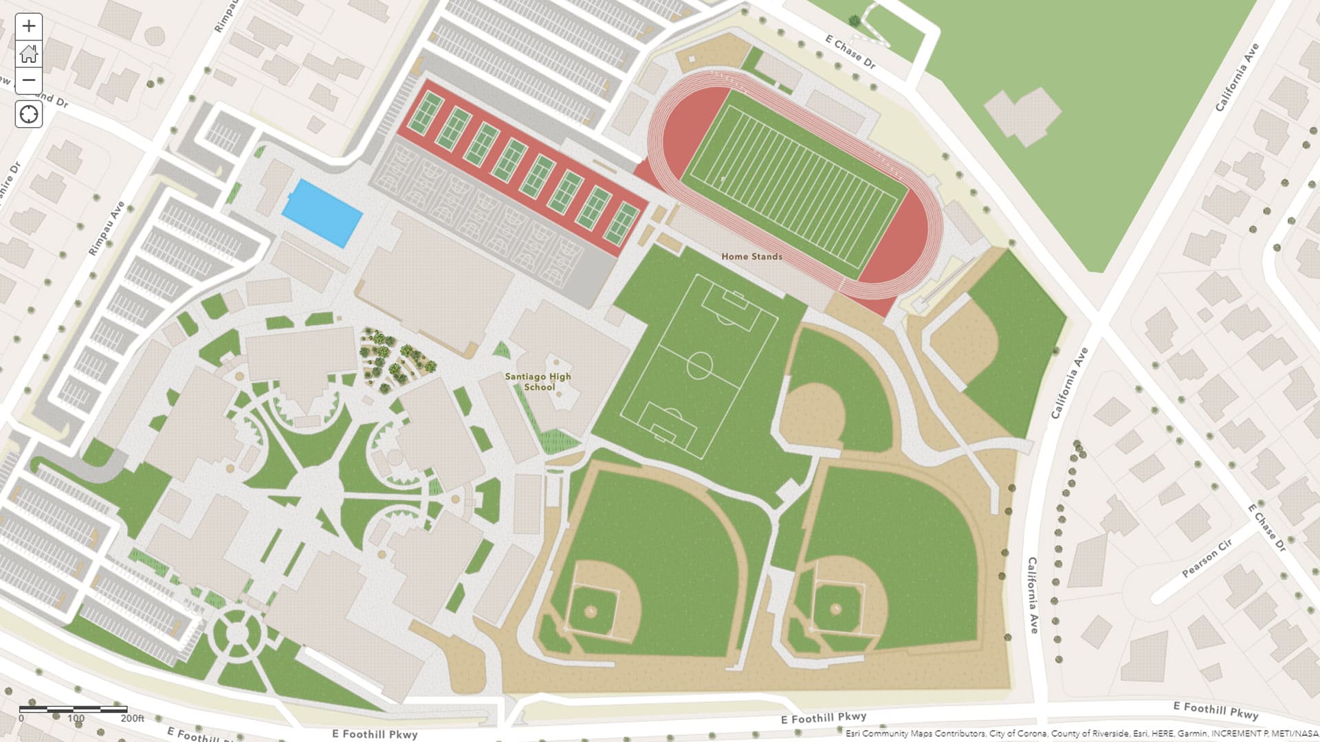
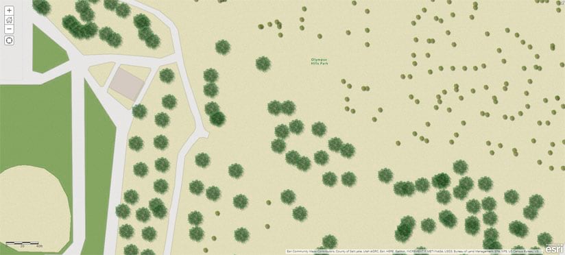
In addition to giving quick feedback about errors in a map and sharing local, authoritative content, organizations can create and edit detailed features such as buildings, landscaping, sports facilities, and trees by using the Community Maps Editor app. Contributing added detail and coverage to Esri basemaps benefits the GIS community as a whole.
The web app is available under Edit Features on the Community Maps Program web page. Currently in beta, the app gives contributors an easy way to add areas of interest to the basemaps. Organizations must have an ArcGIS Online organizational account to use the app and then join the Community Maps Editor Group.

Esri’s Community Maps Program is a global, cooperative effort to develop a suite of authoritative maps for use by a wide variety of applications. Contributed data is hosted as layers and basemaps in ArcGIS Online, giving the wider GIS community better map detail. Contributed data is added to Esri basemaps, which are available at no cost to ArcGIS users as part of ArcGIS Living Atlas of the World.
The Community Maps Program’s primary goal is to provide additional detail and coverage to existing basemaps and layers including World Imagery, World Street Map, and World Topographic. Through the program, Esri has enhanced its basemaps and imagery, elevation, and geocoding services by including authoritative data from thousands of organizations within the user community.
The Community Maps Program accepts basemap layers; imagery; and land elevation, bathymetry, hydrology, and stream gauge data. Using the Community Maps Editor app, users can create large-scale features. Contributors can transform polygons into detailed areas of interest by creating or editing existing Community Maps Editor app-contributed features within the map. Contributed features may include building footprints, athletic fields, walking paths, and trees. The added features can be viewed through a variety of attractive map styles available for the Esri Vector Basemaps and used in private or public-facing web apps and story maps.
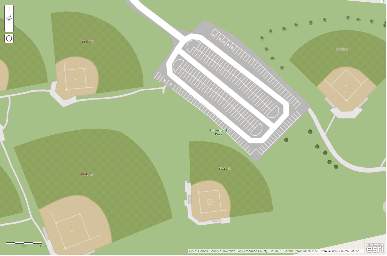
For longtime Community Maps Program participant Joe Borgione, the Community Maps Editor app has made his workflow more efficient. Working as a GIS analyst for Salt Lake County, Borgione has helped to update Esri’s basemaps to make them more precise. From sports stadiums to neighborhood parks, having the latest data on the map makes an impact.
“Working with databases, I have developed an eye for accuracy. Having the most accurate and up-to-date data in the community map is something that I strive for,” said Borgione. In turn, Borgione’s team can work with the best available data in the field to make better decisions, and other organizations can benefit too.
Visit the Community Maps Program website to get started. Determine how you want to participate: by providing feedback, editing features, or sharing data. To jump-start the process, a series of guidelines have been created for each theme. Simply click the hyperlinks to participate. Before data is added to Esri basemaps, it will be reviewed and accepted by Esri’s basemap team. Verified data will be integrated into Esri’s global database and processed for inclusion.
You also can watch this video to learn how to get started using the Community Maps Editor app.
The basemaps are updated about every three weeks. Working together behind the scenes, the contributions of a few serve the uses of many. From city planning to site selection, having the most up-to-date data matters. Together, Esri and GIS users can build successful communities.