
ArcGIS Hub Site Keeps Maryland Residents Informed about COVID-19 Pandemic
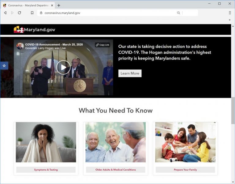
When Maryland residents want current and reliable statewide statistics on coronavirus disease 2019 (COVID-19) and information on how to stay safe during the pandemic, they can turn to a new site at Maryland.gov.
The Maryland Department of Information Technology (DoIT) Geographic Information Office (GIO) used ArcGIS Hub community engagement software, available with ArcGIS Online, to create the site. It contains a dashboard with the latest data on COVID-19 such as cases and deaths by age, gender, and race; a map that shows the number of cases and deaths by ZIP code and county; plus many helpful tips and resources.

Sites such as the one the State of Maryland launched help increase transparency and build trust in local governments and are especially important during this global pandemic to communicate up-to-the-moment news and resources. From maps showing the community spread of the disease to updates on local school closures, these sites provide residents and local officials with the information they need to protect their community, stay safe and prevent the spread of infections, and make data-informed decisions.
The ArcGIS Hub site was created in partnership with several agencies to coordinate content and updates. Some partners include the Maryland Governor’s Office, the Maryland Department of Health (MDH), and the Maryland Emergency Management Agency (MEMA). The ArcGIS Hub site was designed to be an authoritative source of information on COVID-19 and provide fast, easy access to resources.
“I want to instill confidence in Marylanders that their state government is providing accurate and timely data to all visitors to the site,” said Julia Fischer, director of business intelligence and geospatial services at the Maryland Department of Information Technology. “The data is accessible to all Marylanders and is providing a clear and definitive picture of the state’s response to the unprecedented events occurring right now.”

Fischer said ArcGIS Hub was selected to create the new site because she was familiar with Esri’s ArcGIS platform, having used it extensively in her career. The DoIT GIO team created the site in about four hours, she said. Her team coordinated with staff at MDH, MEMA, and the governor’s office to quickly train staff to make content updates directly to the site.
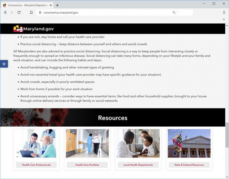
The site’s content includes a prominently placed dashboard that shares vital statistics regarding COVID-19 cases, including a timeline that shows the total number of confirmed cases and daily increases or decreases in these numbers. The site also provides details regarding symptoms of COVID-19, how to best practice social distancing, links to local health departments, and more. Practical resources are also featured, including links to information from the Centers for Disease Control and Prevention (CDC) and from Maryland governor Larry Hogan through his official website.
The MDH continues to consolidate data to gain a clear picture of the effects of and efforts to combat COVID-19 statewide. As such, Fischer said the data featured on the site is derived from their work as well as their partners. Additional subpages continue to be developed with the goal of including more maps and dashboards for site visitors to interact with and gain a clearer understanding of the impact of the pandemic.
“We are providing a site that includes the ability to provide quick access to interactive maps and dashboards as well as data analytic capabilities, ensuring that Marylanders are well informed about health and safety topics related to COVID-19 in Maryland,” Fischer said.
The DoIT GIO continues to update and add content and resources to increase the transparency of available information. The statistics on the site are updated at 10:00 a.m. daily, seven days a week.
The site has had more than 4 million views and almost 1.3 million users since it was launched on March 14, 2020. Fischer said the DoIT GIO team continues to refine the site to improve the user experience and ensure its reliability.
“I am immensely proud of the work my team has been doing. They are tirelessly working to maintain and improve the site,” Fischer said. “Transparency of information is everything. Governments have an obligation to communicate data and empower all of us to make informed decisions for ourselves, our families, and our communities.”