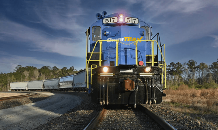
OmniTRAX, a short-line railroad management company headquartered in Denver, Colorado, operates a total of 25 railroads that span the east and west coasts of the US and extend north into Canada. That’s a lot of properties and other assets to track and maintain—not to mention being able to communicate information about these assets to railroad general managers or safety teams.
Getting a current, accurate picture of these assets and understanding how to effectively maximize their potential value can be a challenge under the best of circumstances. But OmniTRAX’s properties are often hundreds of years old; are geographically dispersed; and were acquired at many different times, meaning property records were not organized consistently.
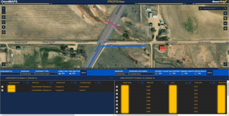
In 2017, OmniTRAX undertook an effort to collect and organize these property records, digitize the boundaries of the properties, and consolidate all property-related information into a single online platform built on ArcGIS Enterprise. To access data from this system, a custom GIS application was created using ArcGIS Web AppBuilder. This app opened property and track data to all employees.
Today, the system is known as OmniMAPS, and serves as both a data repository and a go-to source of information.
The initial aim of developing the OmniMAPS system, according to Leah Twombly, director of the IT enterprise services team at OmniTRAX, was to gain a better appreciation of the organization’s real estate assets.

“Ultimately, it’s about confirming ownership of what and where, but there was also a desire to be able to make better use of the information we have,” she said. “That meant providing better access for the layperson, in an easily usable and recognizable format that they can latch onto without much training. At the most basic level, users need to know whether a document exists and how to get to it.”
By collecting and consolidating all that information, the effort supported multiple groups across the organization with purpose-built applications drawn from a common data source, opening the way to improvements in business management and customer service.
The Challenge of Gathering Data
Since property data was distributed across different railroads—and even across different groups at each railroad—gathering it all proved to be the heaviest lift from the outset of the project.
“Collation involved some serious legwork,” said Twombly. “[It involved] the painful process of reading through all of the descriptions of utility crossings and deeds and representing those in the geodatabase. There are hundreds if not thousands of documents now referenced.”
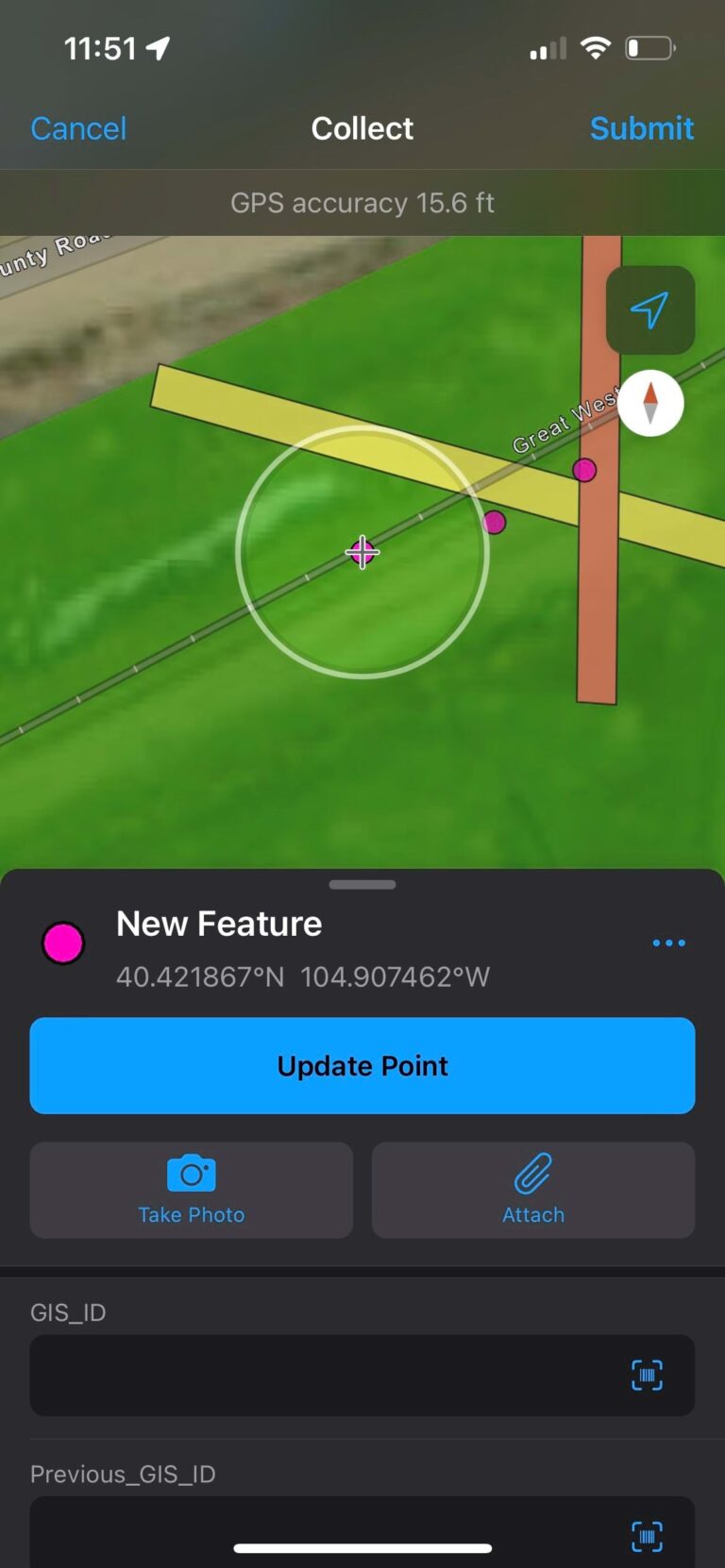
Property records also needed to be verified in the field to ensure actual assets matched the company’s records. This led OmniTRAX to ArcGIS Field Maps, which saved crews a huge amount of time when inputting data.
“The Field Maps app makes it really easy to go out and do audits,” said Mike Garcia, senior GIS business systems analyst at OmniTRAX. “If we have a utility crossing at a given location, we need to be able to verify it. But what happens if at a pole location there are five wires instead of the recorded three? Or what if it’s an underground utility? We need to know, to accurately communicate what’s actually been done.”

Additionally, field operatives conducting these audits can use ArcGIS Field Maps to look two or three miles up- and downline and flag anything they need to be aware of.
“When we make acquisitions, field staff can go out and tell us what’s there and also what’s missing from the records,” said Twombly. “It helps flesh things out a little more.”
A Sea Change for Efficiency and Customer Service
Since 2019, when the first app was released, the OmniMAPS platform has grown to host five apps, built on ArcGIS API for JavaScript and Calcite Design System. Also, OmniMAPS experiences up to 50 unique user logins a day. Many are from OmniTRAX’s tax and finance, real estate, and economic development divisions, but interest within the organization is expanding.
“The railroad general managers have been terrific proponents of picking this up and being able to deal with property and asset management queries,” said Twombly. “[They] are going to be big users, as are the safety teams, who will be better able to identify things that they need to look at more closely.”
The most immediate impact has been an increase in efficiency across all departments. Previously, Twombly needed to spend as much as half an hour digging up information based on loose descriptions of documents. Now, that information is available for users to search for in the new document viewer with just a few clicks.
“All the folks throughout the company are currently having to wear several different hats,” said Twombly. “Helping to reduce the number means that they can really focus on priorities.”
“You can search for something in an instant,” added Jason Berryhill, chief information officer at OmniTRAX. “And you can see what business services you can offer if you have all the data at your fingertips. ‘Here’s a picture of where our properties connect and how we can provide easements.’ ‘Our track runs right up to your location but your building’s dilapidated; maybe it’s time to invest.’ [GIS] is fantastic for visualizing all that.”
As Berryhill began to understand what GIS could do, it was easy for him to come up with ways to expand these already helpful efficiencies in the future.
“There’s a lot of appeal, from an operational perspective, [to] knowing precisely where our locomotives are at all times and whether they’re running or idling and still burning fuel,” he said. “Up-to-the-moment information means we can take action.”
Furthermore, this location-based perspective led to ideas about how OmniTRAX could improve its customer service. “How can we, as an industry often seen as archaic, offer transparent services to our customers that we haven’t in the past?” said Berryhill. “Knowing where our customers’ cars are at all times allows event-based updates—’Here’s a picture of your car arriving on our property.'”

The combination of camera technology and GIS tools like OmniMAPS could give OmniTRAX this type of real-time visibility into its assets without the cost of putting sensor technology on every car. Berryhill pointed out that as a short-line railroad, OmniTRAX is a first/last-mile delivery specialist, not an end-to-end deliverer of freight. But the ability to provide greater visibility strengthens its partnership with larger railroads, and the combination of camera systems and GIS can provide OmniTRAX with another way to deliver that service.
GIS has opened the door to a much larger set of possibilities at the railroad and arguably enables OmniTRAX to deliver a host of services ahead of its larger peers.
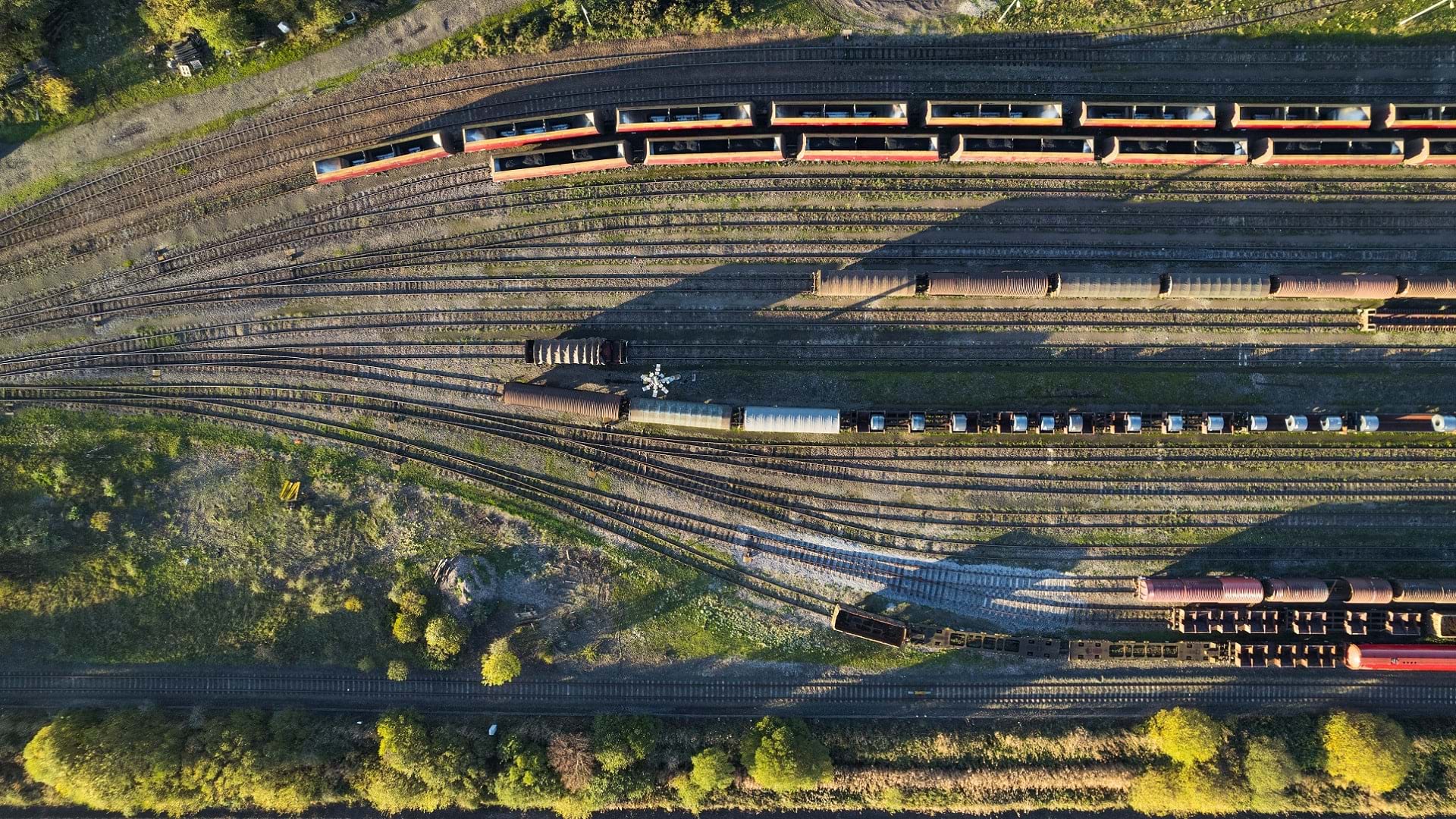
For instance, noted Berryhill, OmniTRAX could tie more of its mandatory safety reporting or business intelligence to GIS. Additionally, drone imagery data could be leveraged for a wide range of uses across the organization.
But wherever OmniTRAX decides to go next, it’s clear that merely consolidating all its records into the OmniMAPS system has already taken the company in a new, more efficient direction.
“Once you digitize,” said Berryhill, “everything changes.”


