Collector for ArcGIS is a mobile app for capturing data in the field and bringing it back to the office. It lets you move away from paper and create a single, accurate source of data for everyone in your organization. Capture data on pipelines, fire hydrants, parcels, and anything else you want to collect.
Did you know that you can try Collector for free? You don’t need an ArcGIS account, and you don’t need to pay for the app—you can just download it from the app store. Collector includes sample maps that let you jump right in and see what it can do.
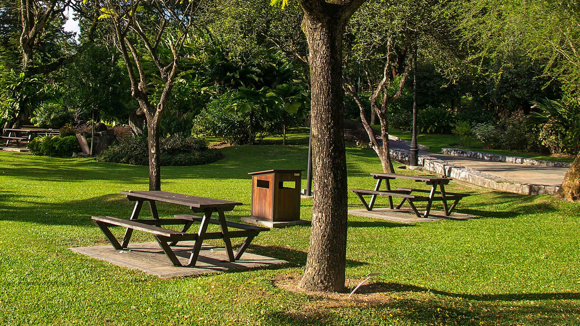
Let’s jump in and go collect data about a local park. You can go to any park near you, or you can pretend while in your office.
Step 1: Install the app on your device if you don’t have it yet.
Step 2: Open the app and tap Try it. If you had already signed in to the app, you’ll need to sign out first.
Step 3: Tap the Parks map to open it.

The map opens, and if you allow Collector access to your location, the map centers on your location.
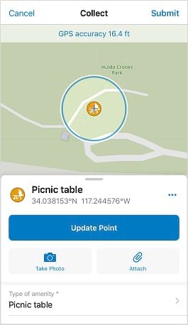
Step 4: Walk to a picnic table at the park. Tap Add  and select the picnic table icon
  to capture its location.
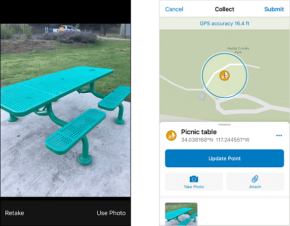
Step 5: Tap Take Photo  and take a picture of the picnic table. Tap Use Photo to attach the picture. After you submit your picnic table in step 7, the picture will be available for anyone reviewing the captured data.
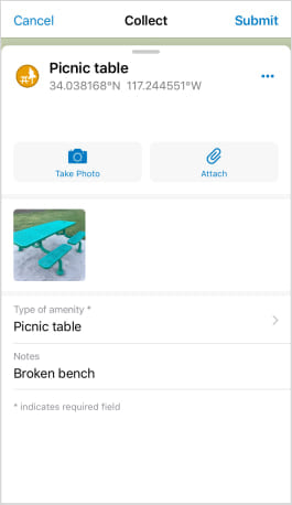
Step 6: You notice the picnic table has a broken bench. Scroll the form and add a note about the broken bench
Step 7: Tap Submit to share the picnic table information you collected with everyone who has access to the layer.
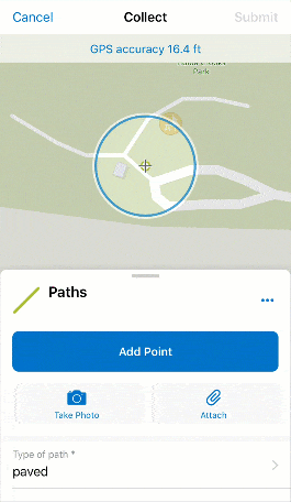
Step 8: Next, you will collect data about a path. Walk to the start of the sidewalk near the picnic table and tap Add (as you did in step 4). This time, select a paved path.
Step 9: You want to capture the path as you walk along it, so you’ll stream the data by tapping Overflow and then tapping Start Streaming. Walk along the path, and it is drawn as you go.
Step 10: Once you’ve finished walking the path, tap Stop Streaming. Optionally, add a photo and a note, as you did for the picnic table, and tap Submit to add the path to the layer.
Step 11: On your own, capture more information about your park. The map is set up to capture benches, lights, trash bins, and trees (among other amenities), as well as other types of paths and various areas (such as dog parks, tennis courts, and playgrounds).
You now have a digital version of your park. Perhaps your city wants to use it to inventory what various parks have to offer, or you want to create a map highlighting available sports facilities. Data captured in Collector is available throughout ArcGIS and can be brought into other maps, story maps, and apps.
Ready to try something else with Collector? Learn how to create the map you used in this exercise.
