displaying 1360 results

Mapping for a Sustainable World is a must read for anyone interested in how mapping can help understand the Sustainable Development Goals.

EarthViews built a custom, web-based platform that allows port employees to navigate the bay virtually.
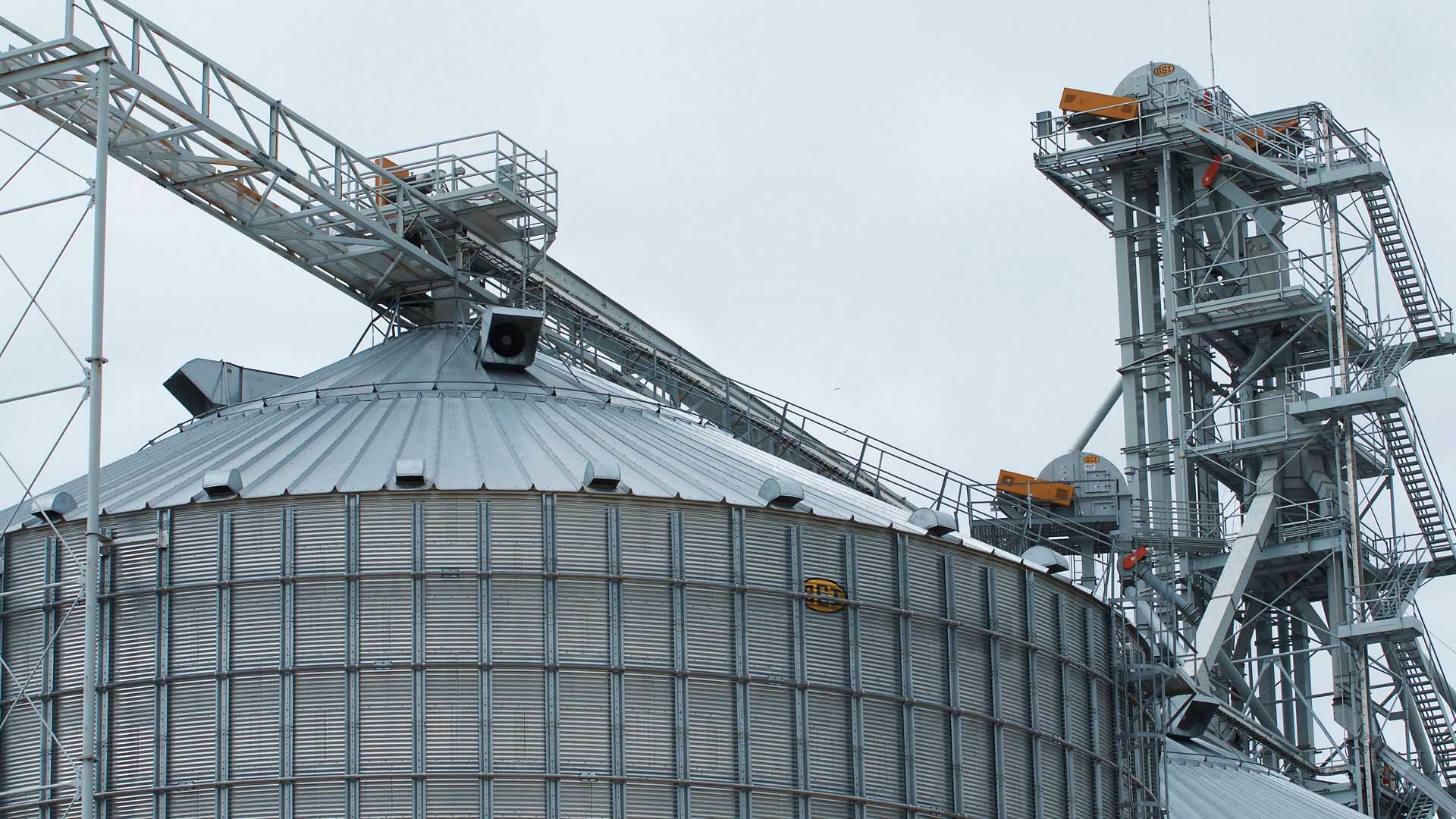
Geospatial technology helps the co-op provide members with insights into their businesses, trade areas, facility operations, and more.

Using GIS, the Democratic Republic of the Congo gained its first highly protected wilderness area since 1970.

With Workforce for ArcGIS, Utilities Kingston completed more than 60 percent of its meter inspections and replacements in four months.

Using ArcGIS Online, the Michigan Department of Transportation cleaned graffiti off 76 highway signs in 35 days.

Follow Ben, Natalie, and Nick as they implement ArcGIS apps for the field to respond to changing conditions more quickly.
ArcGIS Open Data lets you quickly serve open data to communities and organizations through map-based websites. Below are some organizations...

ArcGIS Pro, Portal for ArcGIS, Easy Web Apps

The notion of limitless possibilities was the overarching theme of a series of events put on by the Young Professionals Network (YPN).
Geography can be applied to everything that can be understood. But the world isn't being understood quickly enough to keep pace.

Tapping into their own technological and sector expertise, Esri partners around the globe deploy software, services, and applications.