displaying 594 results
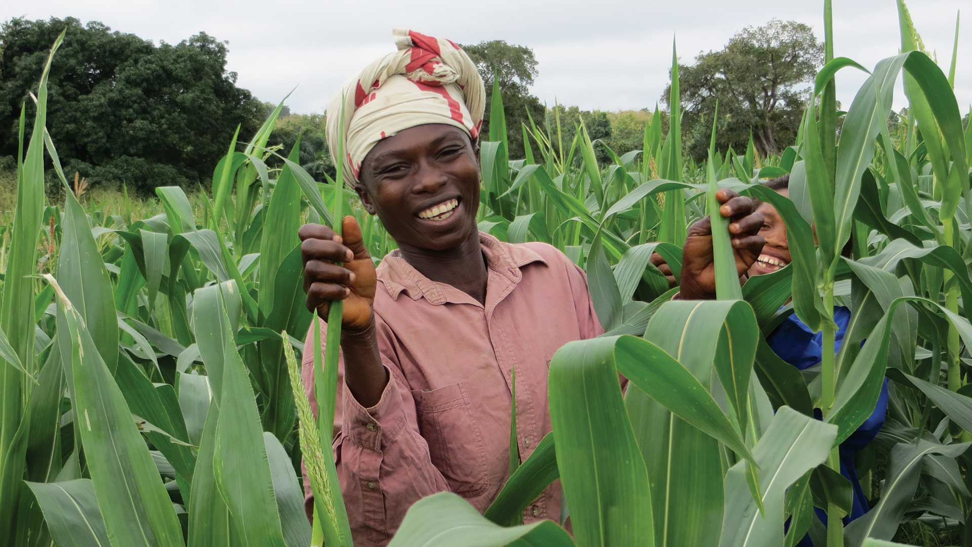
An economic development nonprofit organization uses ArcGIS to better understand and optimize agricultural value chains.
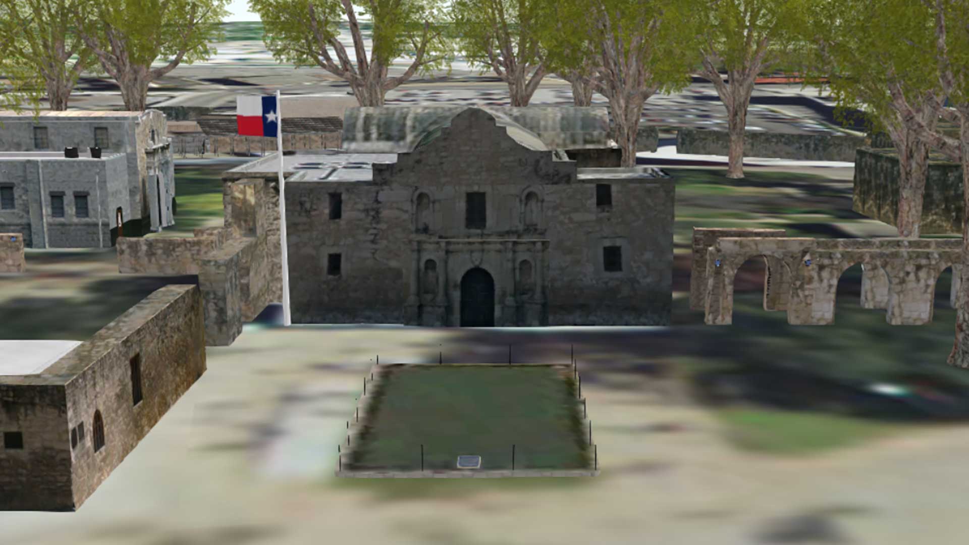
Engineers restoring the original site of the battle of the Alamo are using 3D GIS visualization of historic site.
Imagery and GIS have a symbiotic relationship: Imagery is the foundation of most GIS datasets, and GIS can be used to more effectively manage…

According to Forrester, "Esri is pushing beyond the traditional GIS markets that it has long dominated into the location intelligence market."
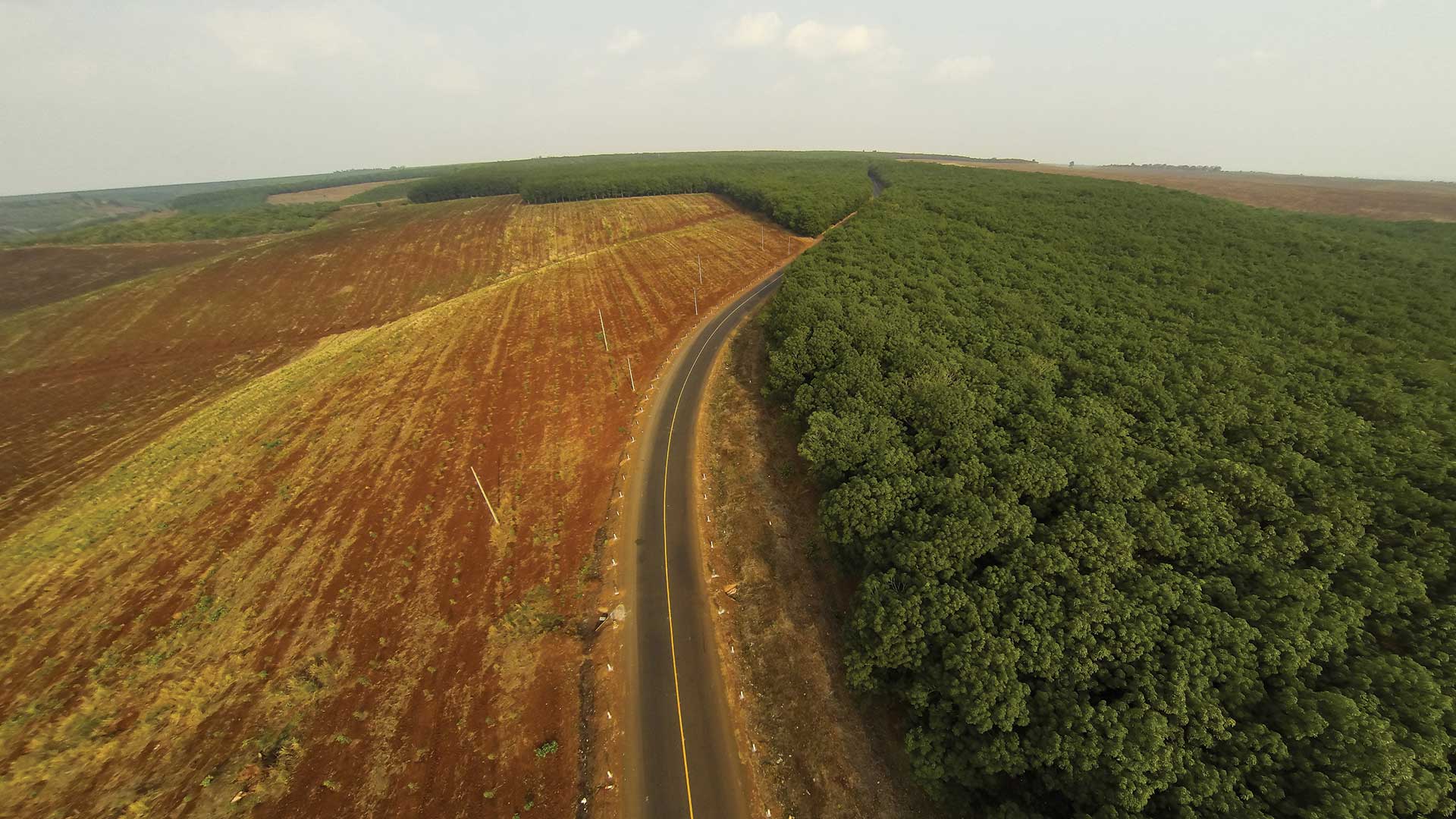
The nonprofit Winrock International designed GIS-based tool to evaluate deforesting in Cambodia.
GIS educators face unique challenges regarding the teaching of geospatial analysis.