displaying 78 results
The world has run up against the hard truth that the world is a very interconnected place. Table of contents for this issue.

Table of contents listing articles in this issue and the Editor's Letter.
Table of contents for the Summer 2020 issue of ArcUser. Contribute to or advertise in ArcUser.

In Smart City 4.0, Dr. Winnie Tang describes how startups are using GIS for the digital transformation of Hong Kong.
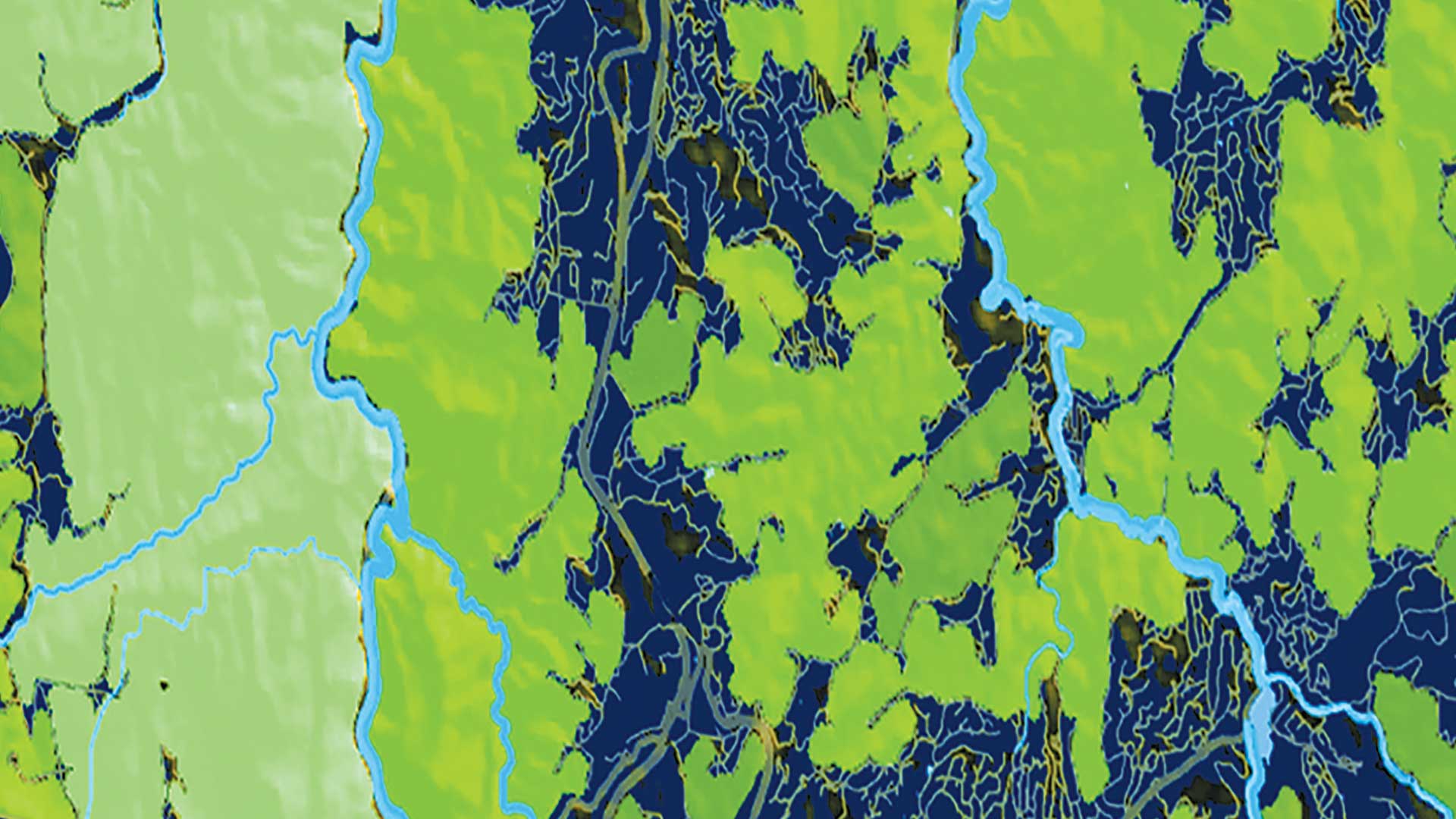
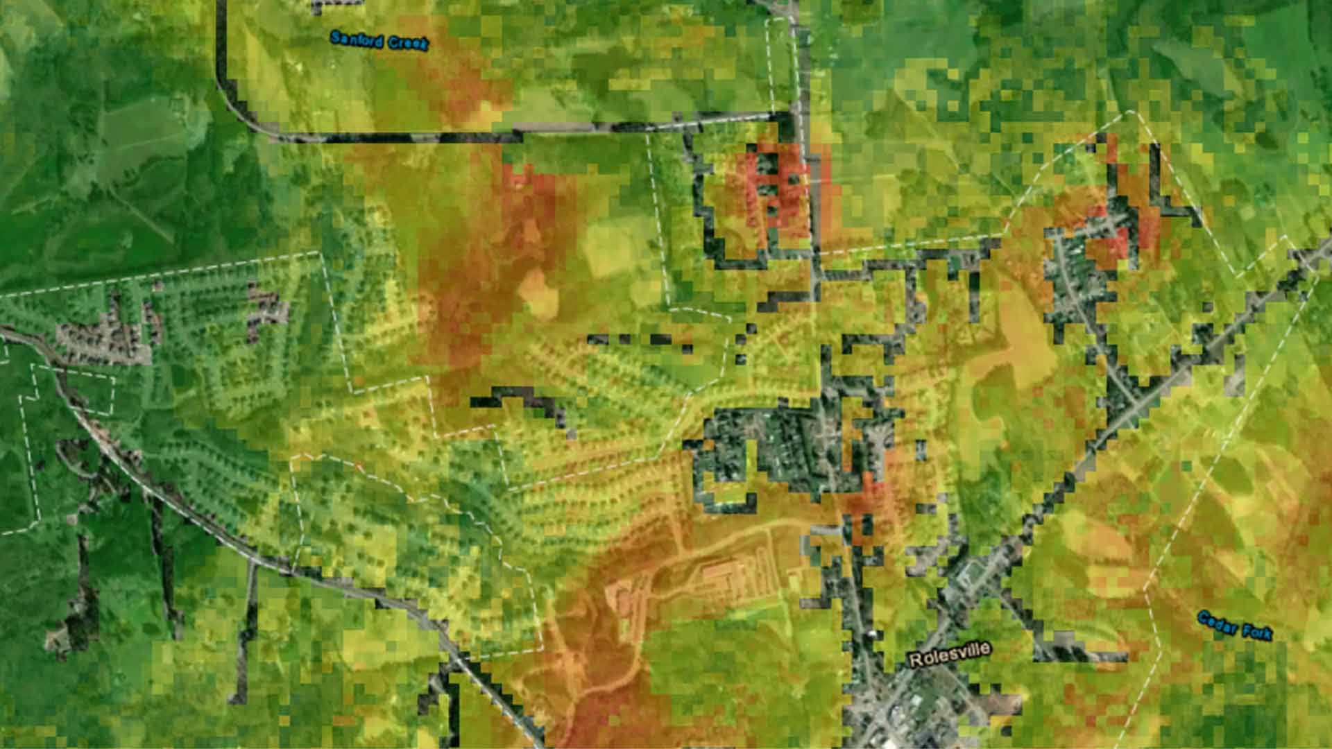
Developing green infrastructure is fundamental for many environmental planning efforts.
The Esri Guide to GIS Analysis, Volume 1 teaches foundational concepts for basic spatial analysis.
GIS for Science: Applying Mapping and Spatial Analytics and GIS and the 2020 Census: Modernizing Official Statistics
Scientific data that's spatially analyzed produces highly useful information for academics, scientists, and other researchers.