Enabling Scientists to See a Better Future
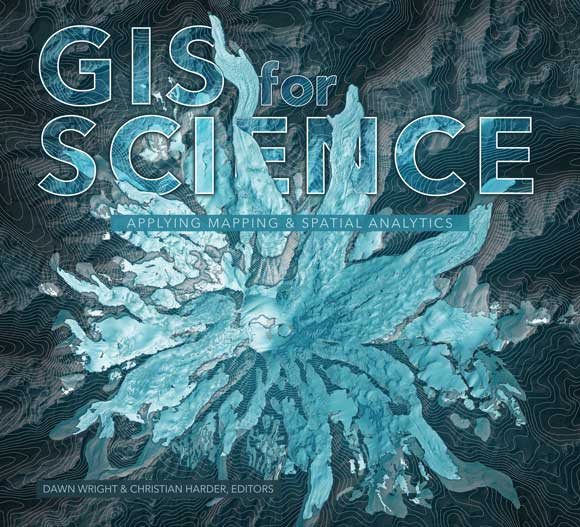
GIS for Science: Applying Mapping and Spatial Analytics is about science and the scientists who use GIS. Its audience is made up of professional scientists, citizen scientists, and citizens who are interested in science and geography and how GIS can meet the challenges the world faces.
This is a collection of contributed articles that describe how the Earth works, how the Earth looks, and how we look at the Earth along with a section on how the up-and-coming generation is using GIS. The last section of the book features applications of GIS technology, such as the Sentinel Explorer application for viewing imagery over time and the National Water Model for simulating and forecasting water movement in the rivers and streams of the United States, that enable scientists to more deeply understand the Earth.
This book highlights the use of GIS for projects as diverse as mapping global ecosystems, analyzing natural hazards, studying climate change, mapping ancient settlements, and studying the surface of Mars.
As noted in the introduction by Esri president Jack Dangermond and Esri chief scientist Dawn Wright, “This book is full of examples that show how GIS advances rigorous scientific research.” Whether studying glacial retreat, super volcanoes, seagrass habitats, or the response of birds to the changing climate, more scientists today are turning to GIS, drones, remote sensing, machine learning, and other technologies to better understand how the planet works.
One example of how GIS advances scientific research is in “Mapping Ancient Landscapes,” written by Jason Ur, professor of anthropology and the director of the Center for Geographic Analysis at Harvard University, and Jeffrey Blossom, the center’s GIS service manager. It documents how a team of archaeologists from around the world used GIS, historical satellite imagery, georeferenced drone imagery, and archaeological fieldwork to study the ancient settlements of the Assyrian Empire in what’s now the Kurdish-controlled region of Iraq. Because some sites are located near growing communities, archaeologists must work quickly to stay ahead of new housing.
Edited by Wright and Christian Harder, a writer, editor, and mapmaker at Esri, GIS for Science is beautifully illustrated. A companion website at GISforScience.com provides readers with data and other resources such as maps, apps, story maps, and videos. Esri Press, 2019, 258 pp., ISBN: 9781589485303.

Learn How Geospatial Technology Supports Critical Census Tasks
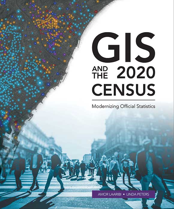
GIS and the 2020 Census: Modernizing Official Statistics provides statistical organizations with information on how the most recent geospatial methodologies can support all stages of a census.
The application of geography for optimizing census work has steadily increased worldwide. Mapping provides the geographic basis for the enumeration process, and geospatial technologies have made the process of planning and carrying out census work more efficient as well as improved the analysis and dissemination of census data.
Geography is acknowledged as the key to all national statistics systems. Esri’s experience with many census mapping projects has proven this. The United Nations (UN) confirms the value of geospatial technologies for these activities. GIS-based census programs cover the pre-enumeration, enumeration, and postenumeration phases. Advances in the use of imagery and lowering of its cost have substantially enhanced census work in terms of speed, accuracy, and cost reduction.
GIS and the 2020 Census covers converting existing data, field operations, data processing and dissemination, developing geographic products, and many other aspects of the census workflow. Case studies from Albania, Portugal, Republic of the Philippines, Jordan, Arab Republic of Egypt, Ireland, and Canada demonstrate the successful application of geospatial technology.
Although this book is designed with fieldwork in mind, its techniques can be applied to register-based census work. Ancillary materials are available online and include the updated census data model, the Global Statistical Geospatial Framework and the UN Handbook on the Management of Population and Housing Censuses.
Authors Amor Laaribi and Linda Peters have extensive experience using geospatial data and statistics to support improved decision-making. Laaribi, who joined the United Nations Statistics Division (UNSD) in 2000, has a PhD in geomatics sciences. He contributed to the foundation of the UN Committee of Experts on Global Geospatial Information Management (UN-GGIM) and acted as secretary of the UN Expert Group on the Integration of Statistical and Geospatial Information (UN-EGISGI) since its inception.
Peters has a bachelor’s degree in geography and more than 20 years of experience in the geospatial industry. During her 14 years at Esri, she has consulted with companies in many industries, helping them achieve greater efficiencies through spatial and location analyses. She helps National Statistical Offices (NSOs) across the globe understand how to apply geographic methods and analysis to census and statistical activities. Peters authored Esri’s massive open online course (MOOC) The Location Advantage, which teaches how to apply geospatial technology to business. Esri Press, 2019, 264 pp., ISBN: 9781589485044.


