displaying 994 results

An invasive nonnative species of grass that was threatening to push out native flora and fauna living in hundreds of acres of salt marsh in...

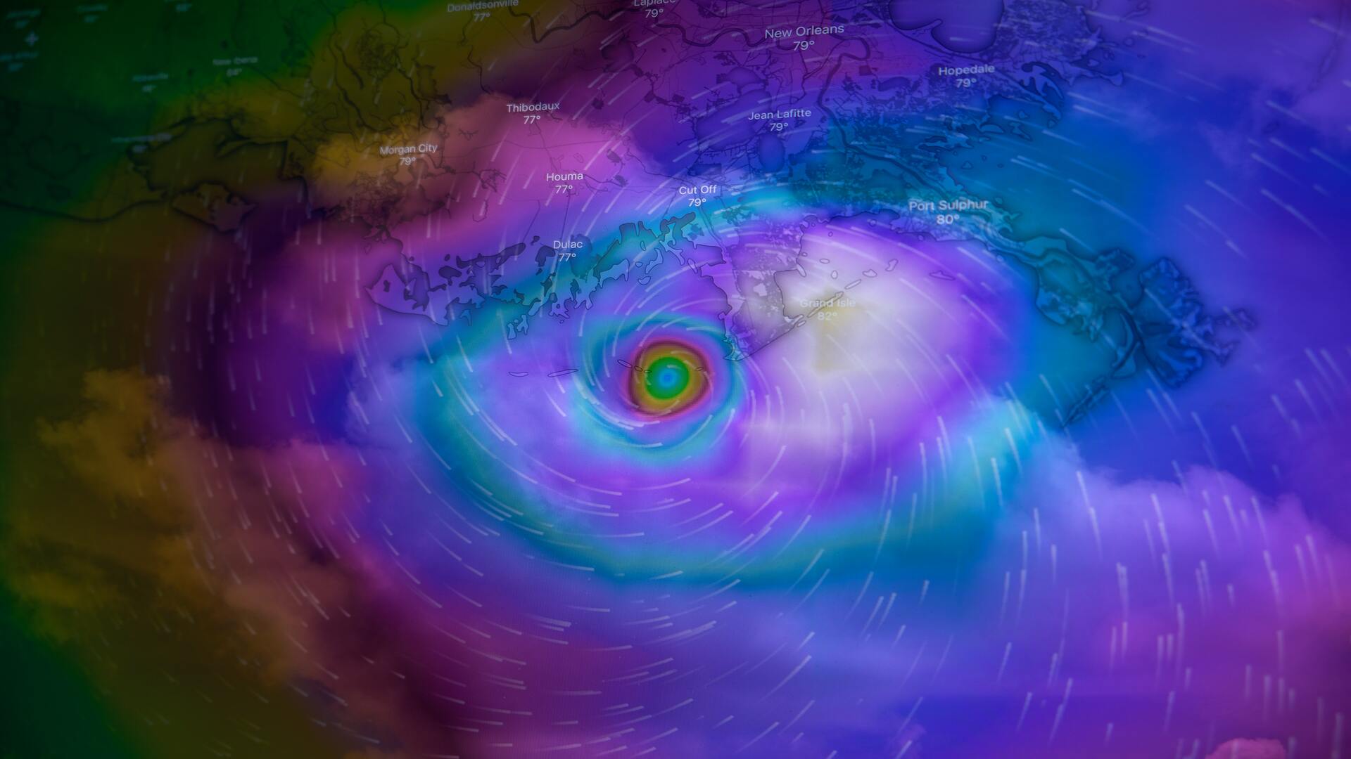
According to the National Weather Service, 2013 was the driest calendar year on record since 1877.

Information on brackish groundwater, which is important to Kuwait's water supply, is being more effectively managed through an enterprise GIS.

Marine scientists used to spend weeks or months in the field conducting surveys and mapping and imaging the seafloor.
The decline of oxygen in the ocean concerns absolutely everyone, no matter where we live.
GIS Hero Larry Orman forged a career that set the agenda for regional planning and conservation.

For more than 10 years, URISA's Policy Advisory Committee has been looking out for GIS professionals’ best interests.
Professor Marc Bierkens talks about the World Water Map, a project he led to bring attention to the global freshwater crisis.
Esri's Alex Martonik explains why climate resilience prioritization is a necessity for businesses.

Anne Shaw, Executive Director at Transport for West Midlands, discusses geospatial technology's role in public transportation.
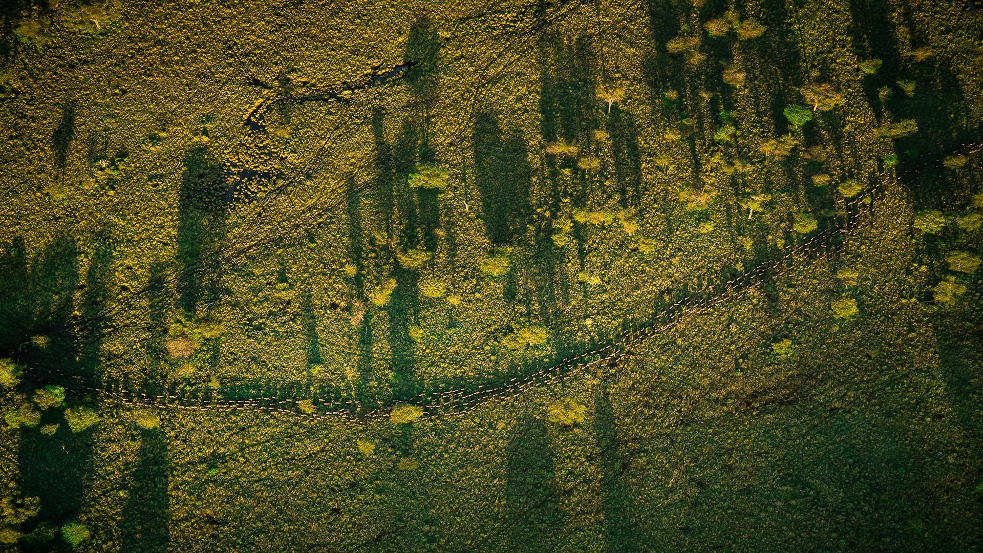
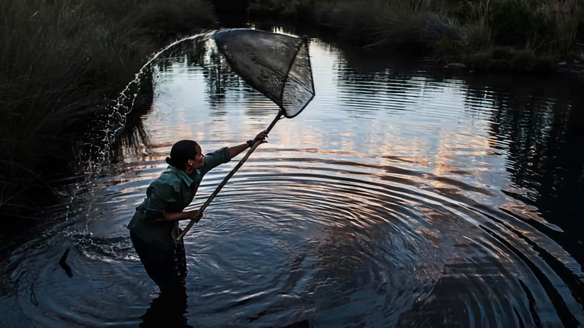
Laly Lichtenfeld from African People and Wildlife explains how technology is assisting inclusive conservation efforts in Tanzania.
Dr. Jonathan Mayer discusses the relationship between human geography and infectious disease.