00:23:08
July 15, 2026 | Humanitarian Assistance
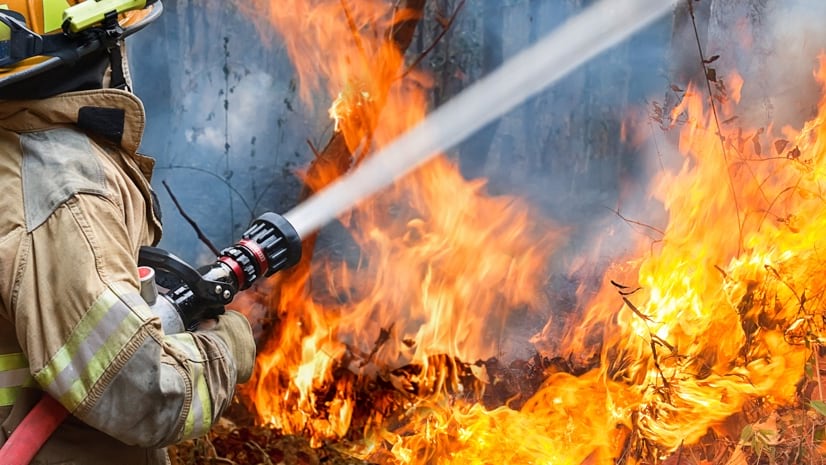
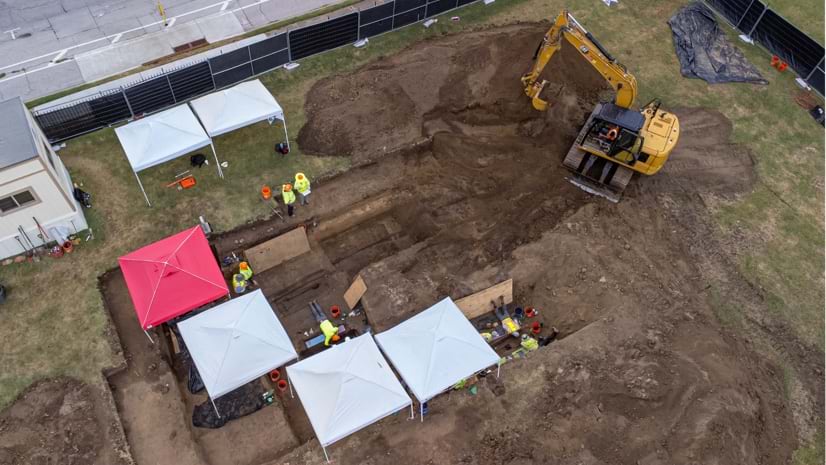
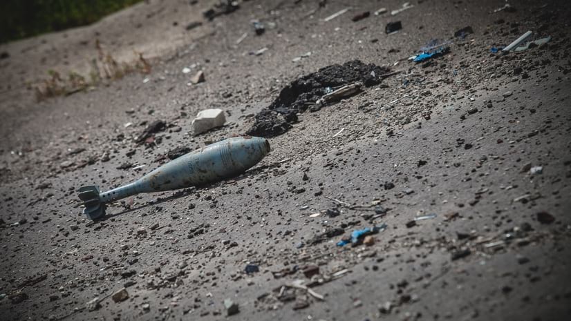
How Technology Saves Lives After War Ends
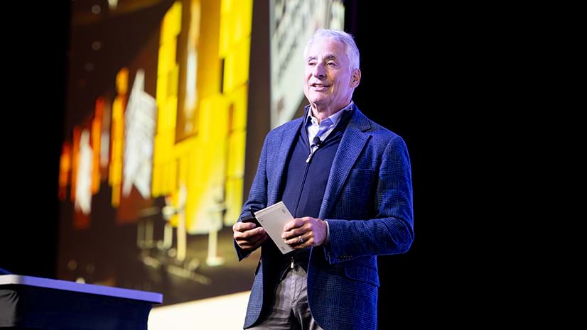
Major General James Cowan from The HALO Trust, speaks about the life-saving work of clearing land mines in war-torn countries.