Mapping
Stories about charts, imagery, positioning, statistics, and using geospatial technology to create better maps
July 2, 2025 |
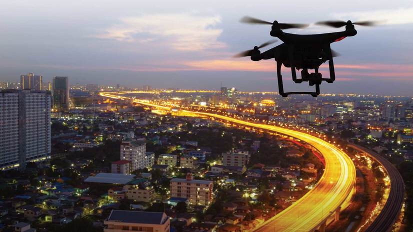
Matt Ball from Esri explains why drones are becoming an essential tool for local governments and businesses.
Stories about charts, imagery, positioning, statistics, and using geospatial technology to create better maps
July 2, 2025 |
Matt Ball from Esri explains why drones are becoming an essential tool for local governments and businesses.