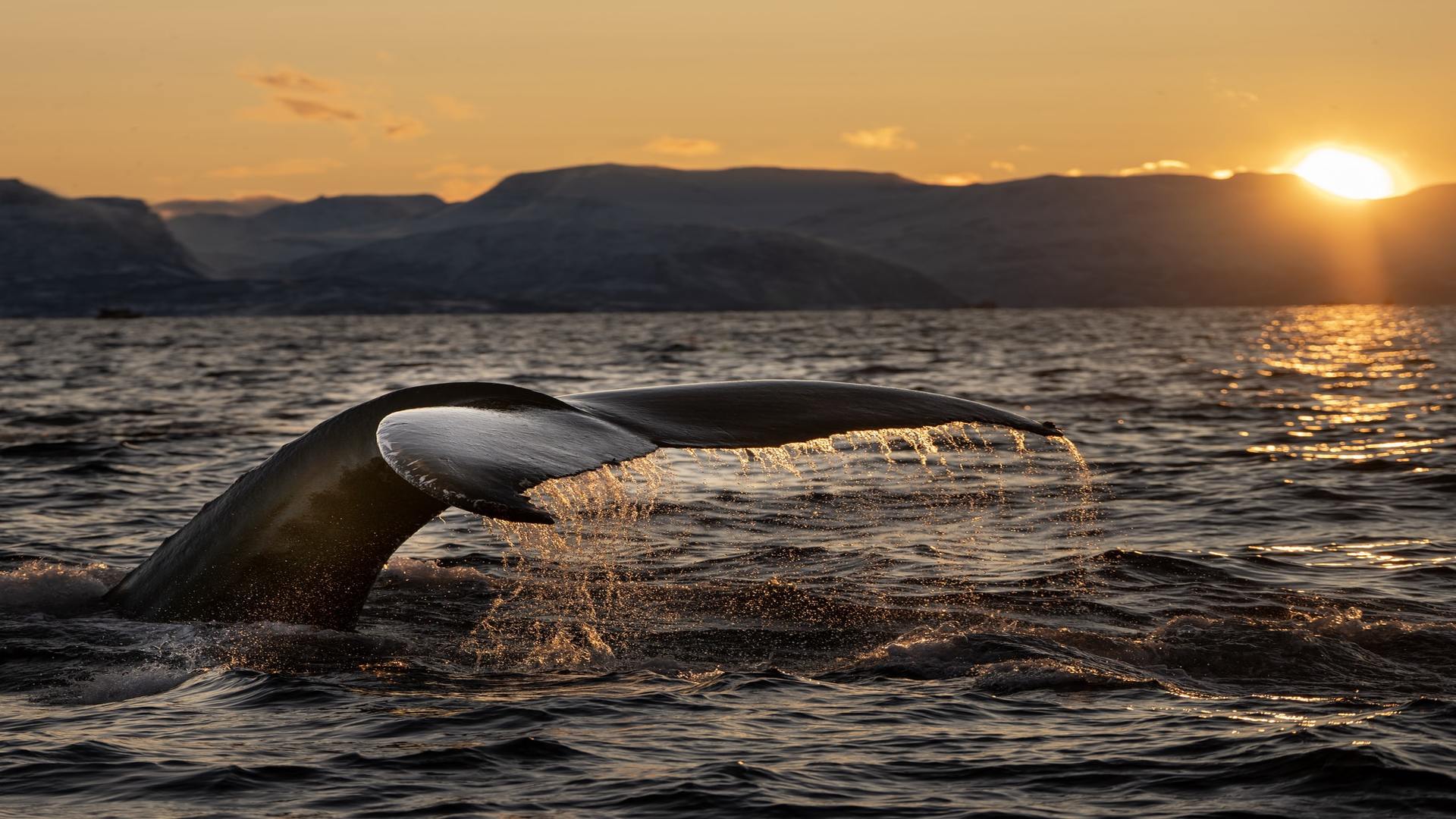
Marine biologist Dr. Vanessa Pirotta and location intelligence expert Brett Dixon discuss their collaboration to study humpback whales in the Pacific Ocean using drones and geospatial visualization. Esri Conservation Director David Gadsden investigates how robotic technology and ocean mapping are combining to open a window into the lifestyles of the world’s largest and most enigmatic animals.
Esri and the National Geographic Society are pleased to announce the 2021 ArcGIS StoryMaps Challenge for Restoring Our Ocean. Through the challenge, Esri and the National Geographic Society encourage high school and college students and individuals 18-24 to create impactful stories about ocean health–from current threats and impacts to existing and potential solutions for restoration. To enter and for more information, visit esri.com/en-us/arcgis/products/arcgis-storymaps/contest/overview.