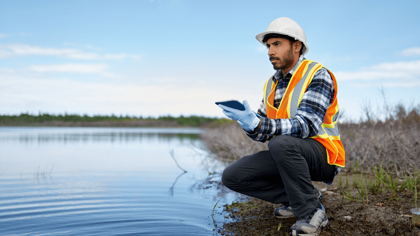
Community cleanups are a popular activity to teach children about the environment and foster engagement in the community. The new Learn ArcGIS lesson, Map your community cleanup, guides a community group or class through the process of collecting and visualizing data from a community cleanup.
In this lesson, you will use ArcGIS Field Maps to gather data on the litter collected during your community cleanup. You will then use ArcGIS Insights to create a report showing your cleanup progress.

Platforms: ArcGIS Online, ArcGIS Field Maps, and ArcGIS Insights
Time: 1 hour 15 minutes
Level: Beginner*
*This lesson is appropriate for elementary school students in grades 4-6


Article Discussion: