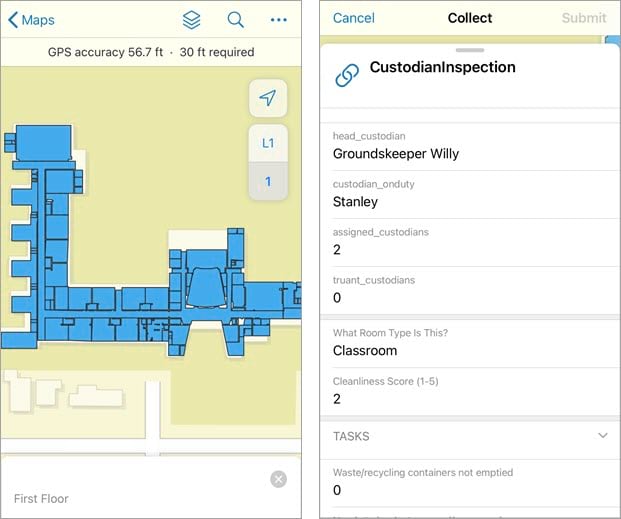
When schools began reopening during the Covid-19 pandemic, faculty and staff faced a variety of new challenges for maintaining safe and clean learning environments. Levi Cecil, GIS Specialist for Portland Public Schools, developed a mobile GIS solution that allows custodians to keep record of the spaces they manage and ensure classrooms are cleaned in accordance to CDC guidelines.

In this episode of Field Notes, we sit down with Levi and discuss how he and his team use floor-aware mapping, ArcGIS Survey123, and ArcGIS Field Maps to prioritize and maintain school sanitation during these unprecedented times.
Learn more
The following are additional resources relevant to this episode of Field Notes:
- Create a floor-aware map in Field Maps (help topic)
- Floor-aware map and floor filter quick reference in Field Maps (help topic)
- Create surveys in Survey123 (help topic)
Take our survey
We’re looking for your feedback so we can create the episodes you want to listen to. Please fill out this short survey with your feedback, ideas, and whether or not you’d like to be on an episode of Field Notes. Optionally, fill out the survey in a separate tab.
Blog and banner image by Marco Fileccia on Unsplash.


