Featured
On this season of Field Notes, we're bringing stories and tips to help you design better field workflows.
Featured
On this season of Field Notes, we're bringing stories and tips to help you design better field workflows.

Learn how the City of Johns Creek uses their GIS toolbox to improve fire inspection workflows.

The Scottish Paths map illustrates over 42,000 miles of trails. Learn how volunteers and mobile GIS make this possible.

Learn how the Amphibian and Reptile Conservation trust employs citizens and GIS to protect important species.

Learn how Napa County's pest management program protects agriculture and contributes to food security throughout the country.
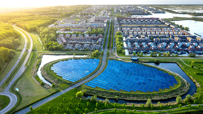
On this season of Field Notes, we're bringing stories and tips to help you design better field workflows.
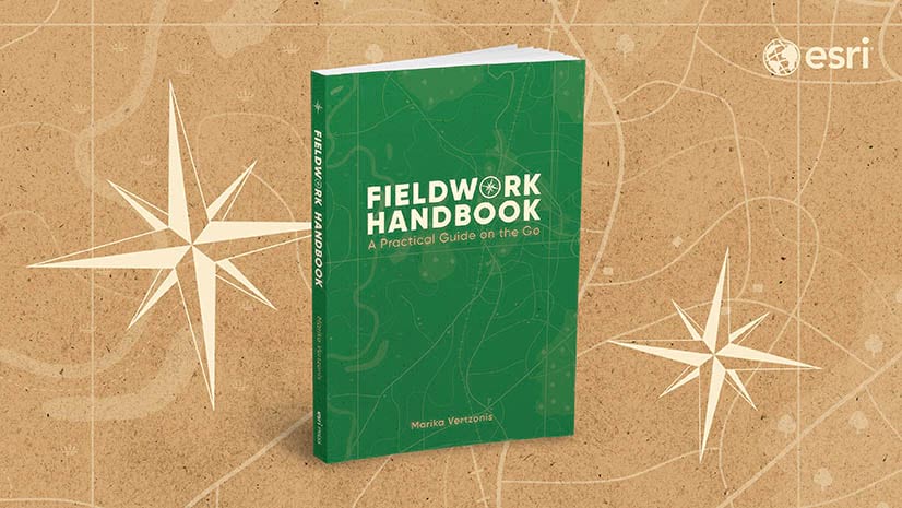
The Fieldwork Handbook is a new, on-the-go book from Esri Press. Learn about if from the author herself.
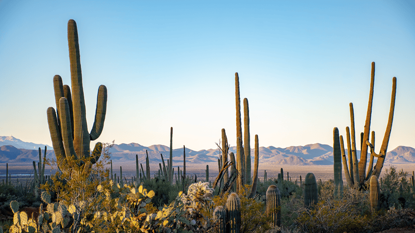
There are over 4000 plant species in Arizona's Desert Botanical Garden, all of which are mapped using GIS. Listen to learn more.
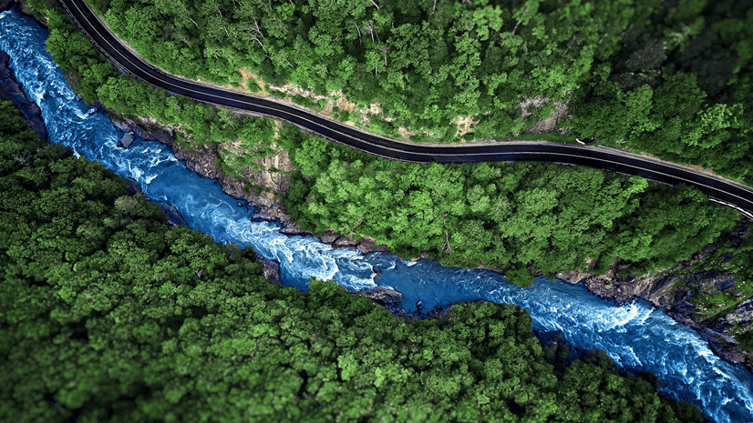
Learn how field apps are used to monitor salmon and steelhead populations in California's Russian River.
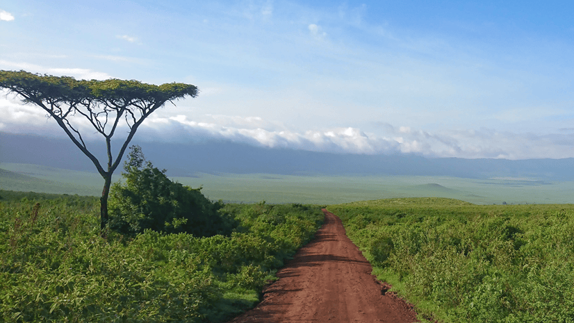
Learn how African People & Wildlife uses GIS to monitor rangelands and sustain resources.
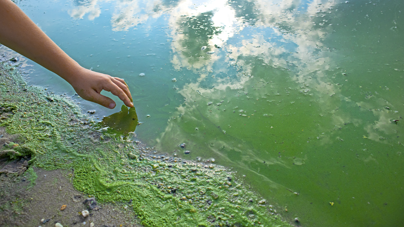
Learn how mobile GIS is used to report harmful algal blooms.

Learn how Trees Atlanta uses surveys and mobile maps to restore Atlanta's tree population.

Amber Kuehn has dedicated her life to protecting the sea turtle population on Hilton Head Island, and high-accuracy GIS plays a major role.
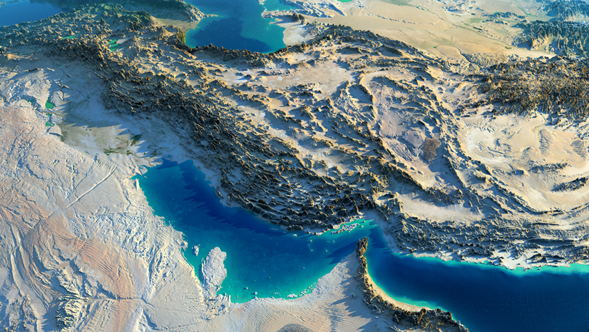
On this season of Field Notes, we're focusing on all things environmental. Listen to our trailer to learn more.

The hosts of Field Notes wrap up season two and reflect on the past year of episodes.

From paper maps to high-accuracy data, learn how the Oldham County Water District transformed their infrastructure using EOS Positioning Systems.
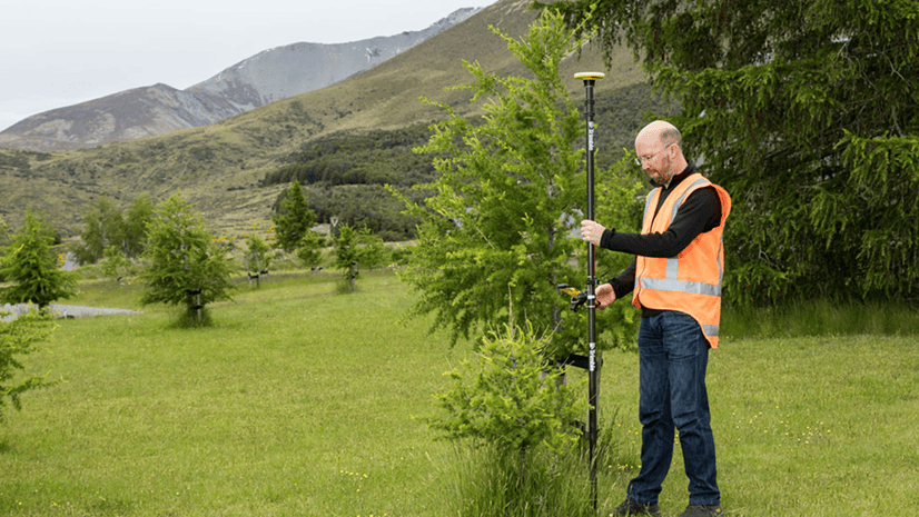
Our friends at Trimble provide tips and tricks for collecting data using high-accuracy GNSS receivers.

Learn the basics of high-accuracy data collection, including common terminology and workflows.

Learn how David Webb develops mobile GIS solutions for communities across Oklahoma.

Learn how San Diego Gas and Electric uses ArcGIS Navigator to route to assets, view attribute information, and respond to emergencies.

Join us as we reflect on UC 2022 and listen to customer interviews from the expo floor.

The Chicago Field Museum uses community science and GIS to recover monarch butterflies, restore habitats, gather conservation data, and more.

Our first Field Snack episode highlights everything you can expect from Field Operations at the 2022 Esri User Conference.

Learn how Portland Public Schools uses indoor GIS and data collection to maintain cleaning standards during the Covid-19 pandemic.

Listen to our recap of the 2022 Esri Developer Summit.

At the Savannah College of Art and Design, GIS and ArcGIS QuickCapture are used to understand and improve the urban environment.