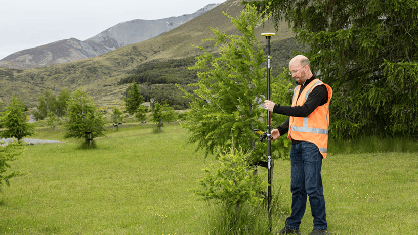
Field Notes

Transforming the Oldham County Water District with GNSS

Kenny Ratliff is the GIS Manager at the Oldham County Water District, where they manage 370 miles of water main and treat 1.2 billion gallons of water annually. On this episode of Field Notes, Kenny discusses how Esri Field Apps and EOS Positioning Systems helped transform their mobile operations from paper mapping to robust, high-accuracy data management.

Oldham County Water District would like to dedicate this episode to Board Commissioner Mel Milburn.  A Surveyor and Professional Engineer, he was a strong advocate for GIS use by the utility.  His unexpected passing just prior to this release is a loss for the organization.

Additional resources

Take our survey

We’re looking for your feedback so we can create the episodes you want to listen to. Please fill out this short survey with your feedback, ideas, and whether or not you’d like to be on an episode of Field Notes. Optionally, fill out the survey in a separate tab.

About the author

Field Notes Podcast

We engage with customers and Esri staff to understand mobile GIS, share stories from the field, and explore all things Field Operations.

Connect:

Next Article

Field Notes season 4

Read this article