As access to real-time data becomes quicker, easier
and cheaper we’re going to need ways to consume and view it. One example
is GeoRSS, where a service is hosted (like the USGS) that gives you a
formatted .xml file with coordinates and attributes. There are many
web-based applications for reading in these feeds (SilverLight, Flex, and
JavaScript API’s for example) but I want to view this data in ArcMap natively,
query it and use it in my analysis.
To accomplish this task it’ll require the use of the
Data Interoperability Extension for ArcGIS and access to a GeoRSS service.
For this purpose, I’ll be using the USGS real-time worldwide
earthquake listing here.
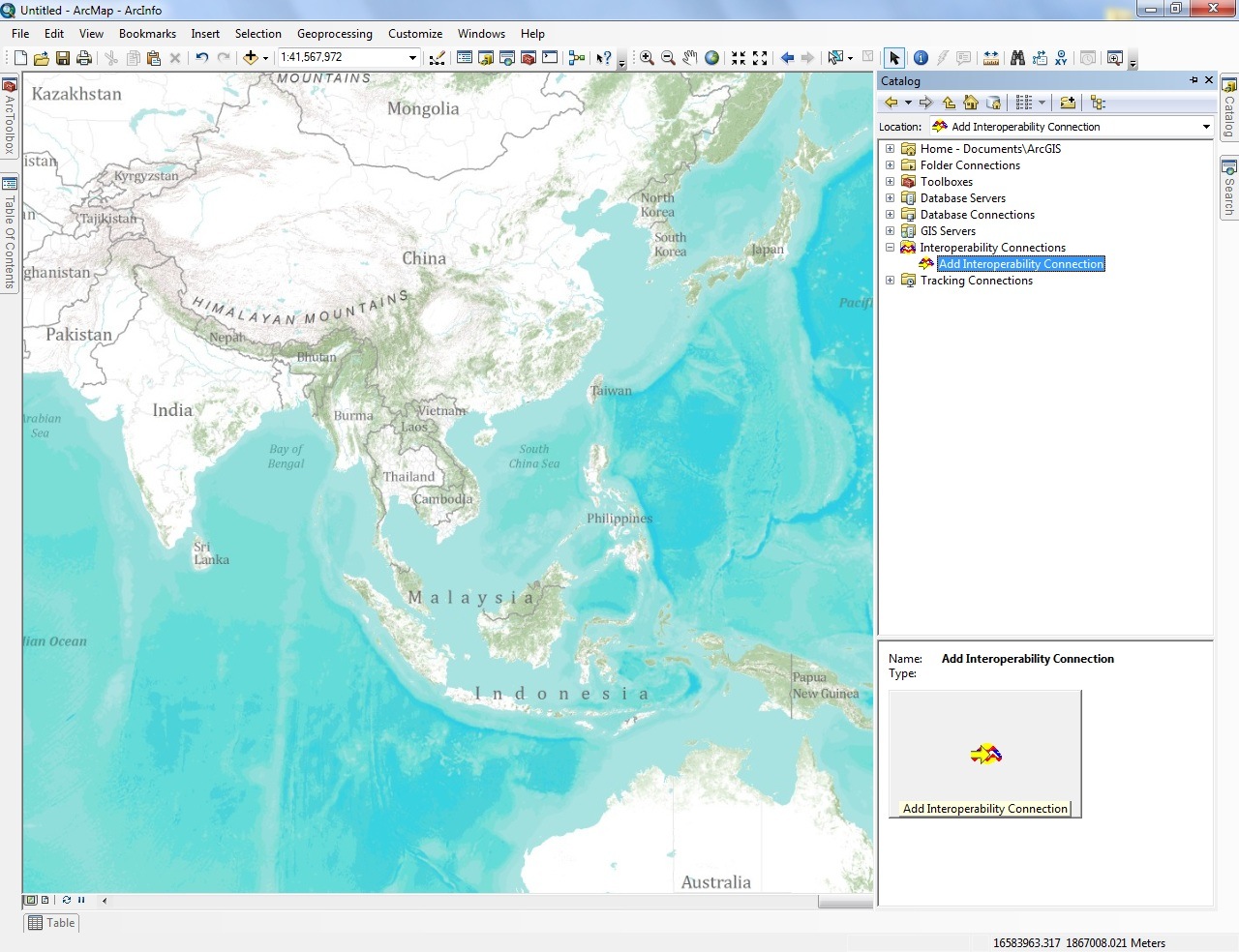
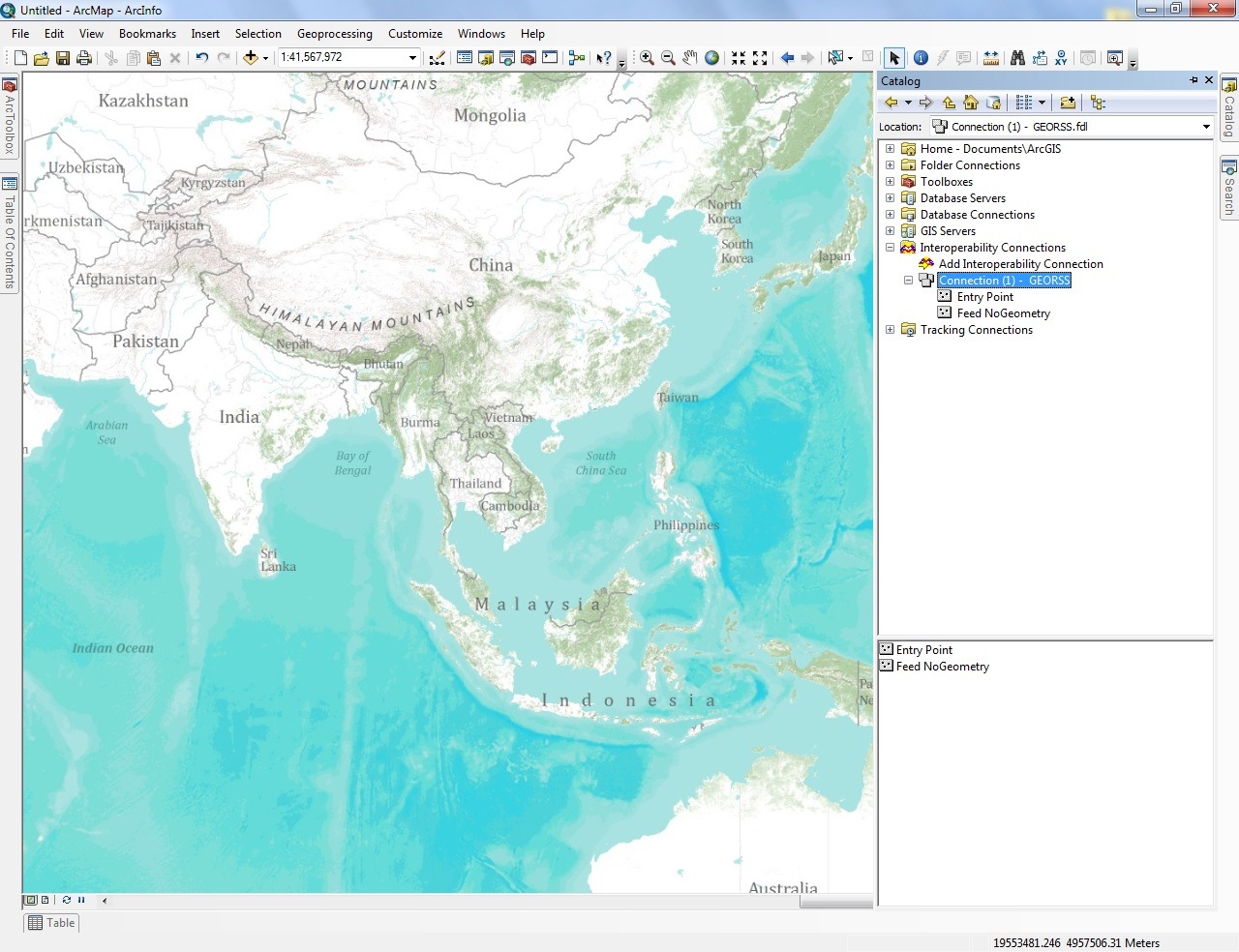
The first thing I need to do is add a new
Interoperability Connection in ArcCatalog by double clicking on Add
Interoperability Connection;
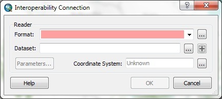
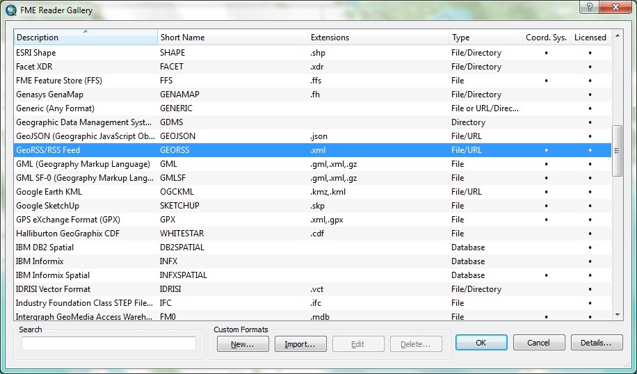
Then, click on the ellipses button next to the Format
and browse to GeoRSS/RSS Feed;
Copy/Paste the GeoRSS link into the dataset dialog;
http://earthquake.usgs.gov/earthquakes/catalogs/eqs7day-M5.xml
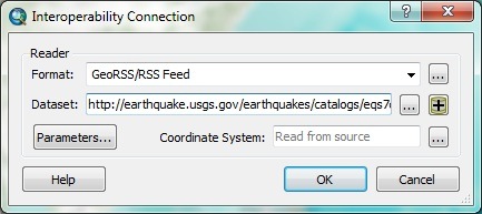
*Note* You can also
change some parameters of how the feed is parsed out by clicking on the
Parameters button.
Once the connection is created you can simply drag and
drop the Entry Point layer into the data frame of ArcMap to view the
information;
Once in ArcMap you can symbolize the data as you see
fit and begin to query and analyze the data;
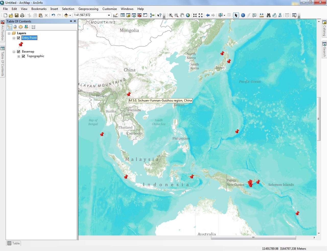
*Note* To handle data updates the data frame must be refreshed in order for the layer to call the service for new information.
Questions? Comments? Please post them below in the comments section of the blog.
Commenting is not enabled for this article.