Esri has been continuously simplifying ArcGIS to reduce friction when it comes to accessing capabilities, managing deployments, and adopting new workflows. Central to this effort is a shift toward more streamlined licensing and broader access to capabilities across the ArcGIS platform. This simplification is critical to the evolution of modern GIS, where organizations need to move faster, integrate more seamlessly with enterprise systems, and empower a wider range of users to leverage geospatial insights in their daily decision-making.
As part of this ongoing work, we are making changes to ArcGIS IPS to align indoor positioning with the broader ArcGIS experience.
What is ArcGIS IPS
ArcGIS IPS is Esri’s indoor positioning software represented as the familiar blue dot inside buildings. Today, organizations require infrastructure such as Bluetooth beacons, Wi‑Fi signals, or other sensors to determine a user’s location along with floor-aware indoor maps of their facilities. Once deployed, ArcGIS IPS supports workflows for asset inspections, maintenance, location awareness and sharing, and wayfinding within indoor environments.
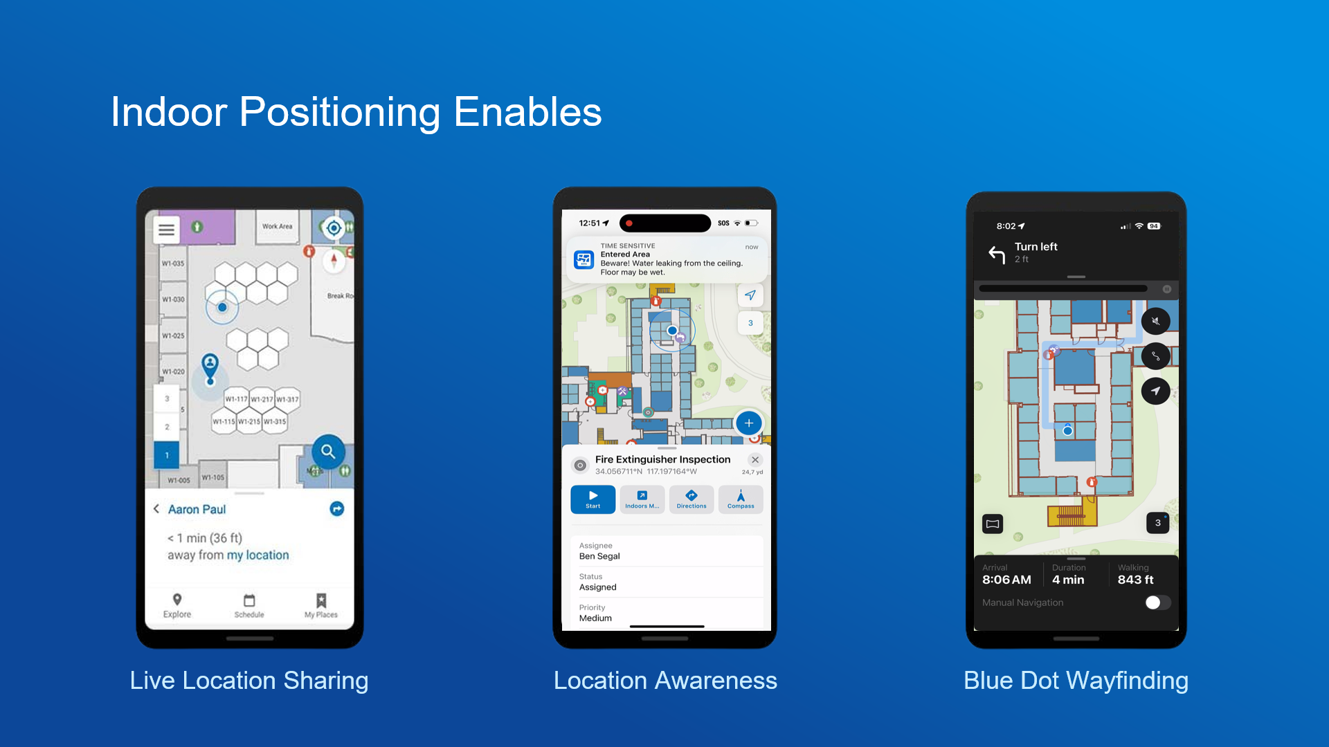
ArcGIS IPS is currently offered as an organizational extension to set up, deploy, and maintain an indoor positioning system. Anyone can visualize the blue dot through ArcGIS apps like ArcGIS Indoors Mobile and ArcGIS Field Maps or when using custom native applications powered by ArcGIS Maps SDKs for Native Apps.
What is changing
We are introducing the following changes in two phases:
Phase 1 – Effective immediately
- ArcGIS IPS will no longer be sold as a separate, for-cost product.
Phase 2 – Q4 2026
- With the ArcGIS Online October 2026 update and the ArcGIS Pro 3.8 and ArcGIS Enterprise 12.2 releases, ArcGIS IPS will no longer require a separate license.
- Tools to set up, deploy, and maintain an indoor positioning system will be available as built-in functionality within ArcGIS, accessible at the Professional and Professional Plus user types. Visualizing the blue dot will continue to be available to everyone.
Why we are making this change
Simplifications to licensing are focused on reducing barriers to adopting indoor positioning workflows. Indoor positioning systems require additional infrastructure, such as Bluetooth beacons, Wi-Fi signals, or other sensors. By removing additional costs for licensing ArcGIS IPS and including indoor positioning directly within ArcGIS, we are:
- Reducing the complexity of getting started without having to purchase a separate license
- Aligning indoor positioning with outdoor positioning, which is already available without additional licensing
- Simplifying how organizations deploy and manage indoor positioning
These changes reflect the same approach seen across ArcGIS over the last five years targeted at removing friction while increasing the flexibility of the platform.
Impact
The impact of these changes is expected to be low. No immediate action is required.
- Existing customers can continue using ArcGIS IPS without having to renew their licenses.
- After upgrading to ArcGIS Pro 3.8, indoor positioning functionality will be accessible without a separate license.
Summary
ArcGIS IPS is transitioning from a separately licensed extension to built-in functionality within ArcGIS. This is part of Esri’s continued effort to simplify ArcGIS towards making advanced functionality easier to access and use.
Please reach out to your Esri account manager if you have any questions.

Article Discussion: