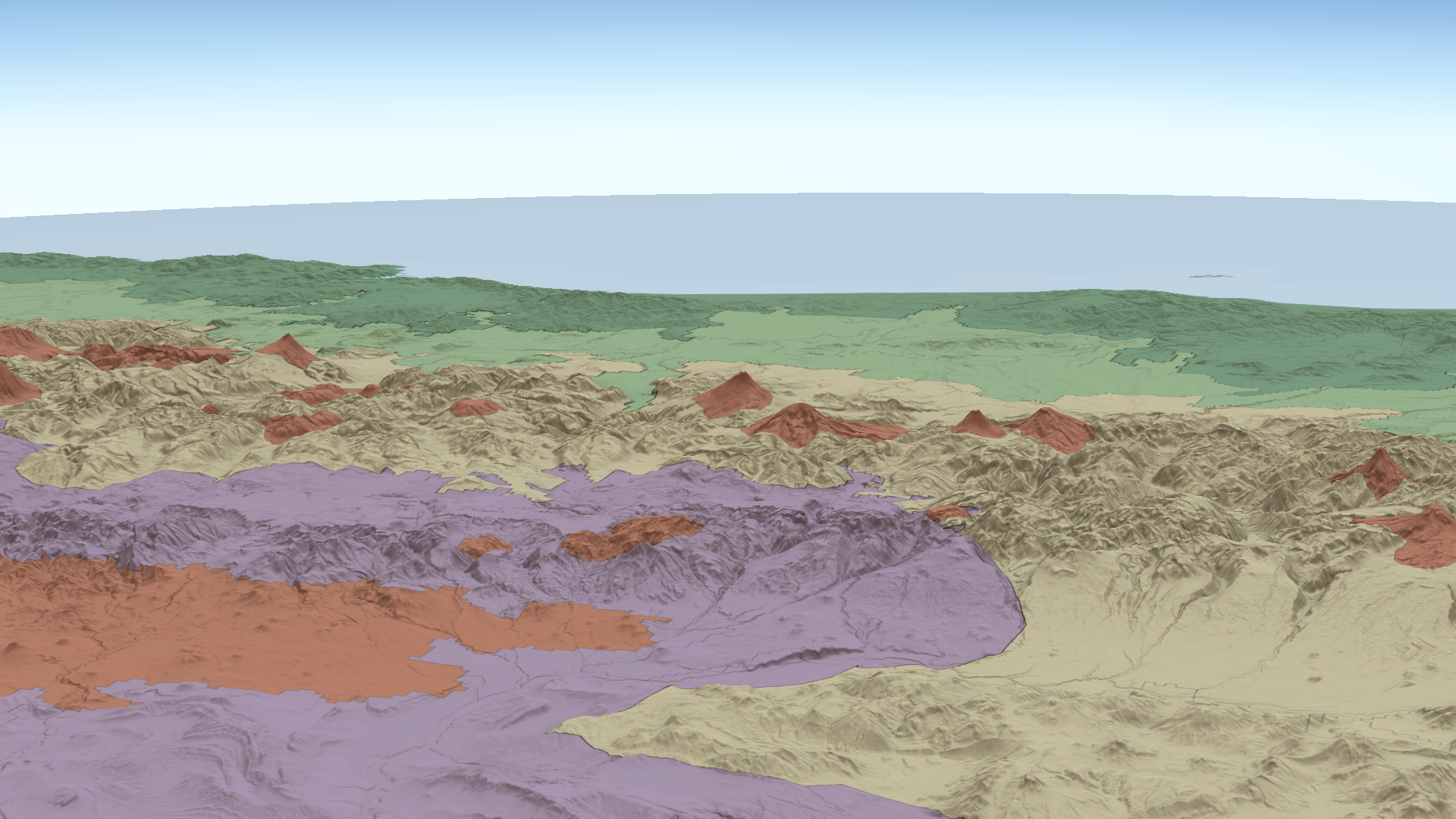
This view from high above southern Argentina features the volcanic features of the Southern Andean Volcanic Arc. In the background are the shores of Chile on the Southern Pacific Ocean.
We are pleased to announce that version three of the Named Landforms of the World (NLWv3) layers is available. In version 3, we added features and attributes for volcanic landforms. We used the Smithsonian Institution’s Global Volcanism Program as a guide to add 2,798 polygon features representing individual volcanoes, volcanic fields, complexes, and other large volcanic landforms. Also in version 3, we defined landforms for Antarctica, completing the global coverage of landforms.
For background, version 2 provided features with the physiographic and geomorphologic characteristics for the world’s named landforms. This means it was more than just showing the land versus water or mountains versus plains; it also included the underlying structure and processes that created the landforms. We begin with the largest landform regions, which are continents, followed by tectonic plates, then divisions, provinces, sections, and finally, individual landforms.
The NLWv3 layers can be used to add labels to your maps or to enrich your data with attributes indicating which landforms your data overlay or are located within.
To make using NLWv3 more convenient, we created additional layers representing each of the variables that define landform characteristics. We created a StoryMap featuring each of these layers.
Lastly, there is an ArcGIS Online group containing the entire collection of layers and maps for the NLWv3. Anyone may join the group to make returning to it and using these layers more convenient. For details, please refer to the description of the Named Landforms of the World v3 (All Layers) ArcGIS Online item.

Article Discussion: