The World Imagery basemap provides medium resolution imagery globally, and high-resolution satellite and aerial imagery for most of Earth’s land mass. The global medium resolution imagery comes from Earthstar Geographics, while the high-resolution imagery is a combination of satellite imagery from Maxar and aerial imagery contributed by the GIS user community through our Community Maps Program.
Enhancing and Expanding
Year over year, we continue to enhance World Imagery with millions of square kilometers of imagery updates. This year, we are happy to announce that we are expanding our subscription with Maxar, upgrading more than 50M km² of existing regional coverage from 1.2-m to 60-cm resolution. For those keeping score, that’s 2x the spatial resolution and 4x the number of pixels, spanning more than 50M km². ![]()
All the areas included in this 60-cm regional uplift are depicted in the coverage map below. Please note, this map only shows our regional coverage from Maxar. World Imagery also includes higher resolution imagery, metropolitan coverage from Maxar and aerial imagery from the GIS User Community. See the World Imagery item description for additional details.

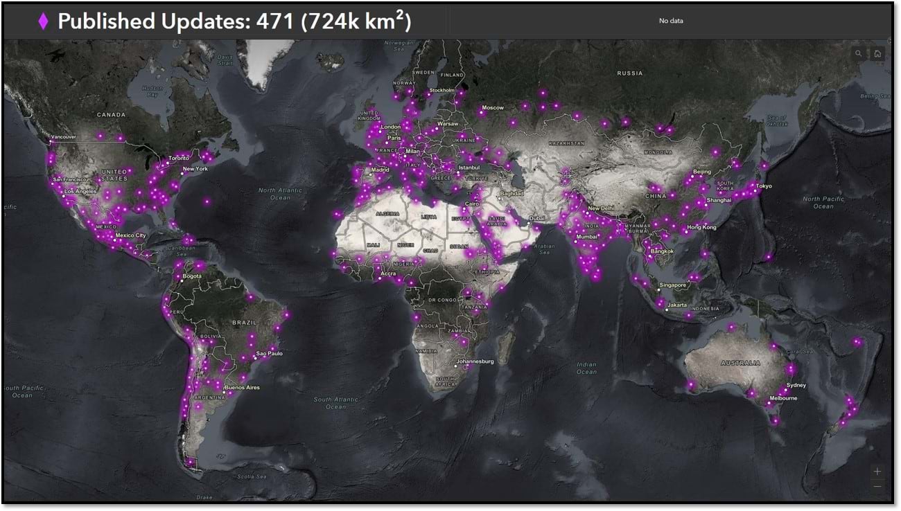
Since the announcement in July, we have received and published nearly half of the total 60-cm expanded coverage. The map below depicts which areas have already been published to World Imagery.
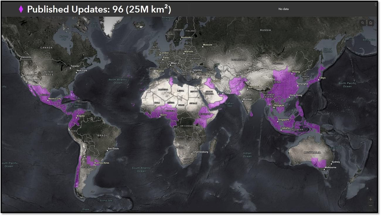
Much of the second half of the new 60-cm coverage should be published and available in World Imagery by the end of the year, rounding off the full initial expansion in Q1 2023.
In Other News
Throughout Q3 2022, we have also published many Community Maps contributions, along with more than 450 metropolitan area updates from Maxar. Have a look though each of the image galleries below for coverage summaries and a few highlights.
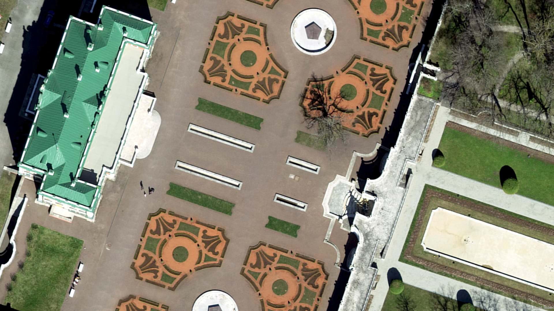
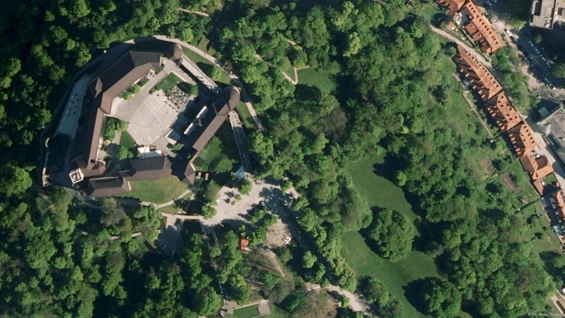
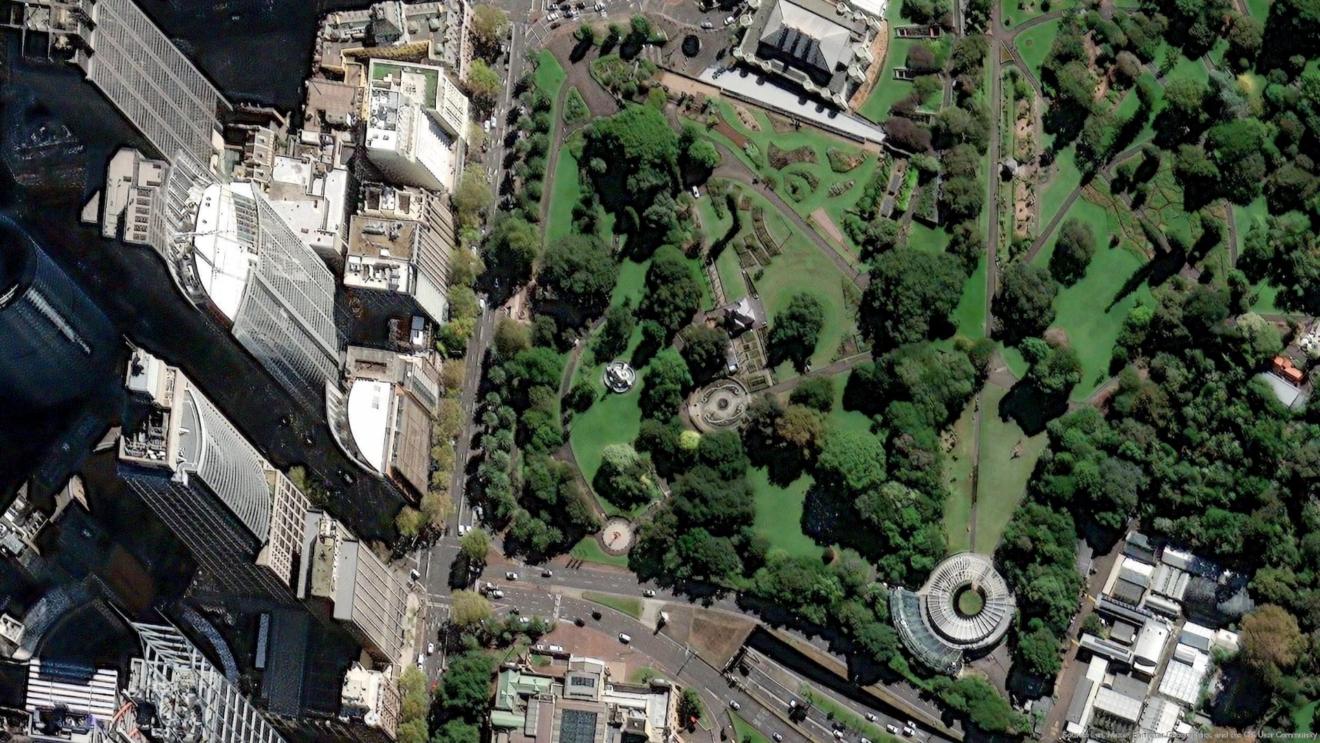
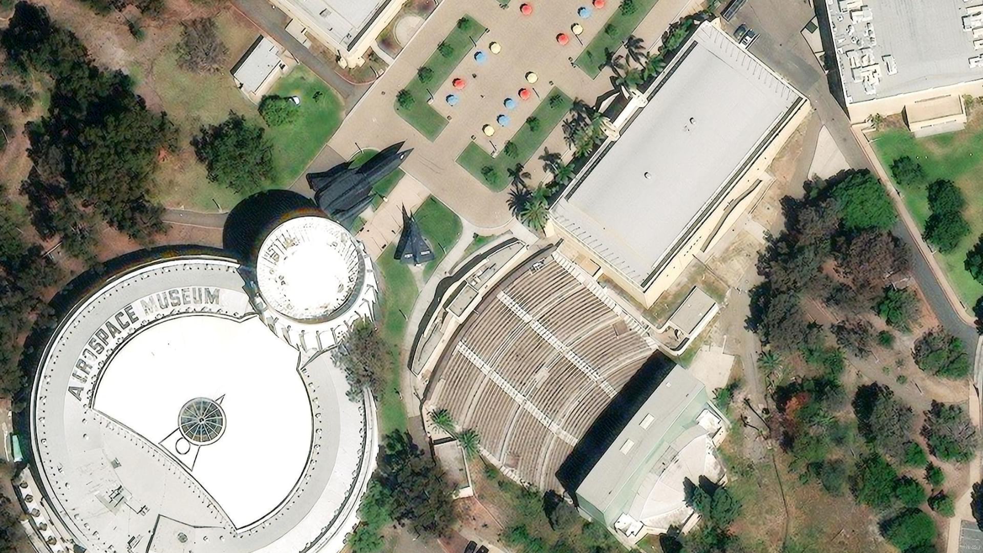
Community Maps aerial imagery updates summary and highlights for Q3 2022.
-

Q3 2022 updates summary for Community Maps. This view was created using the World Imagery Updates app.


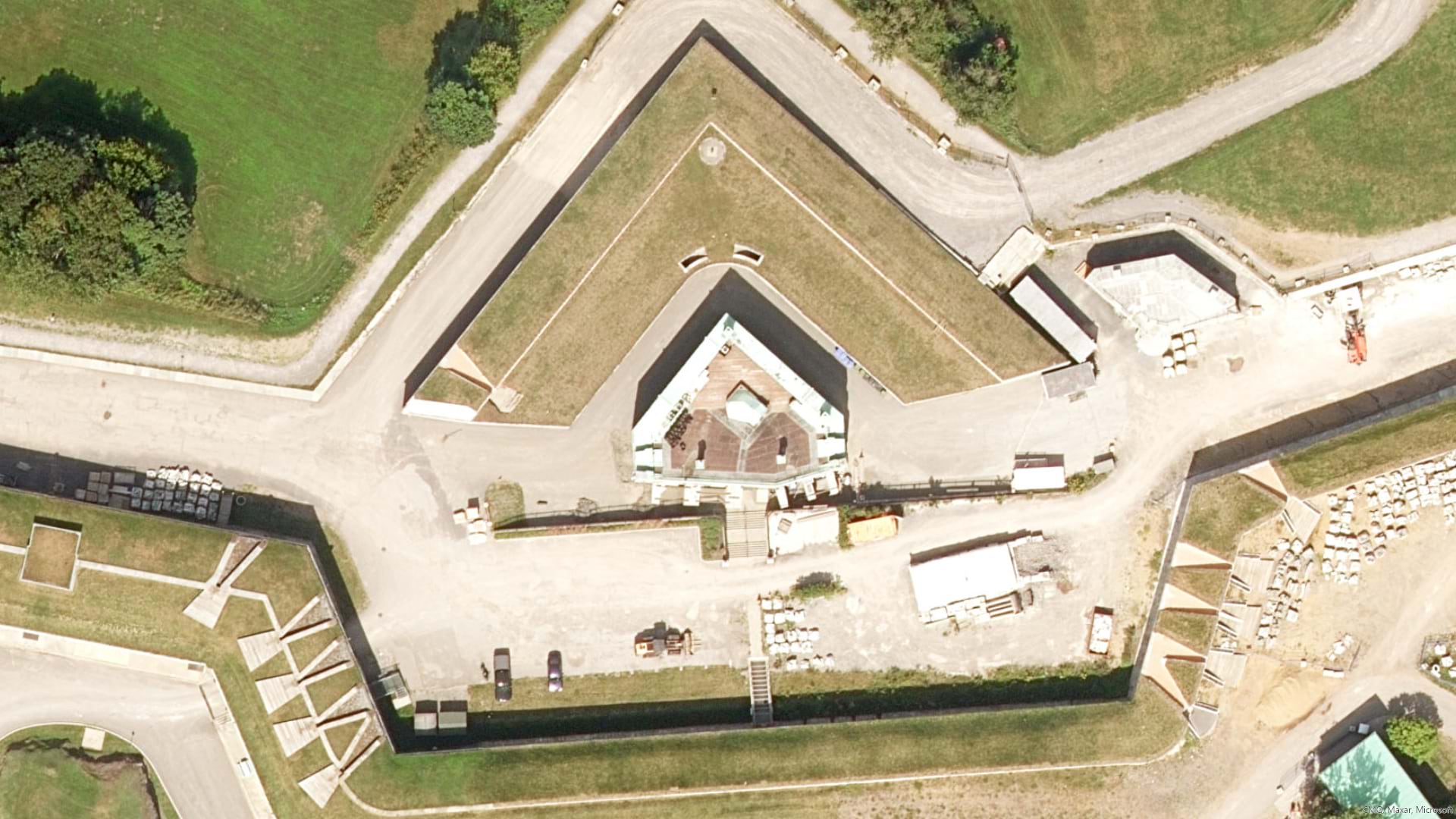
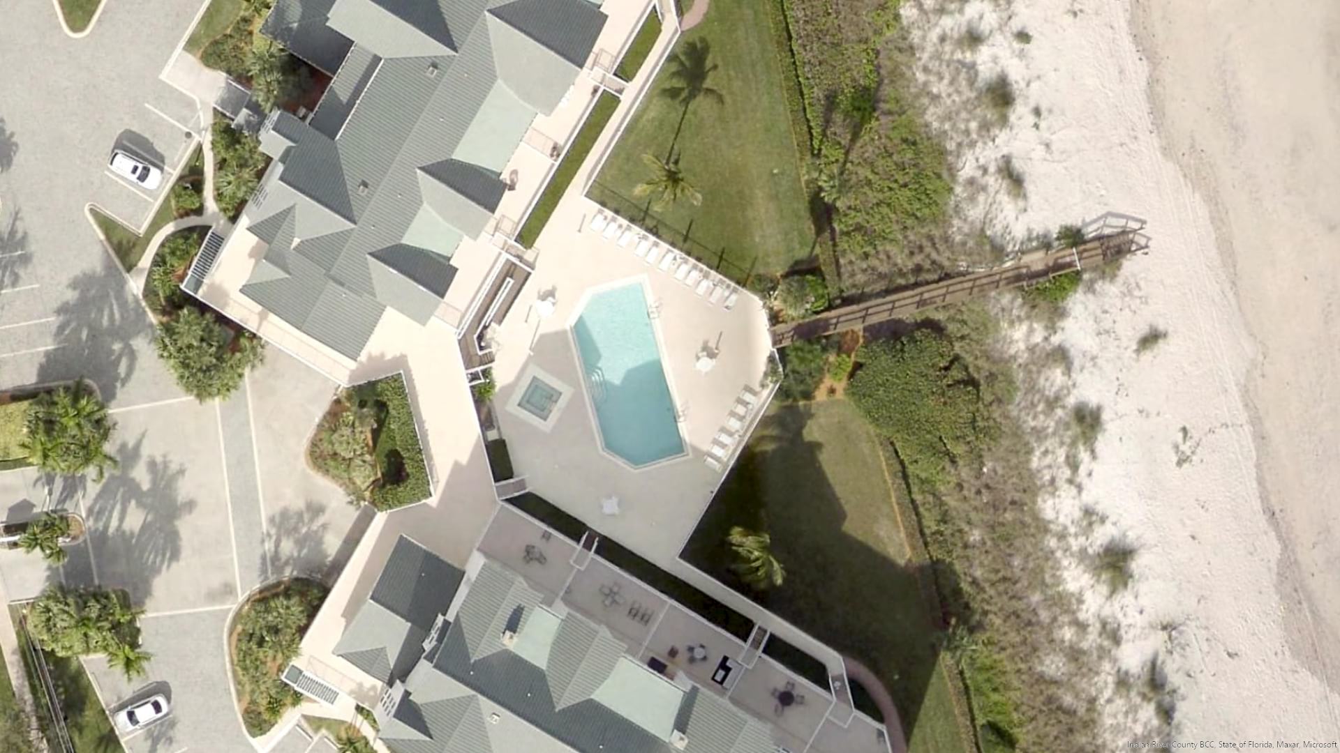
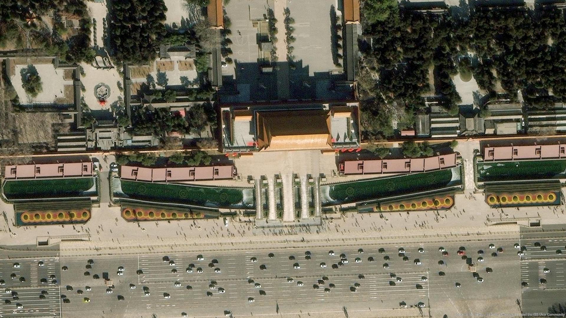
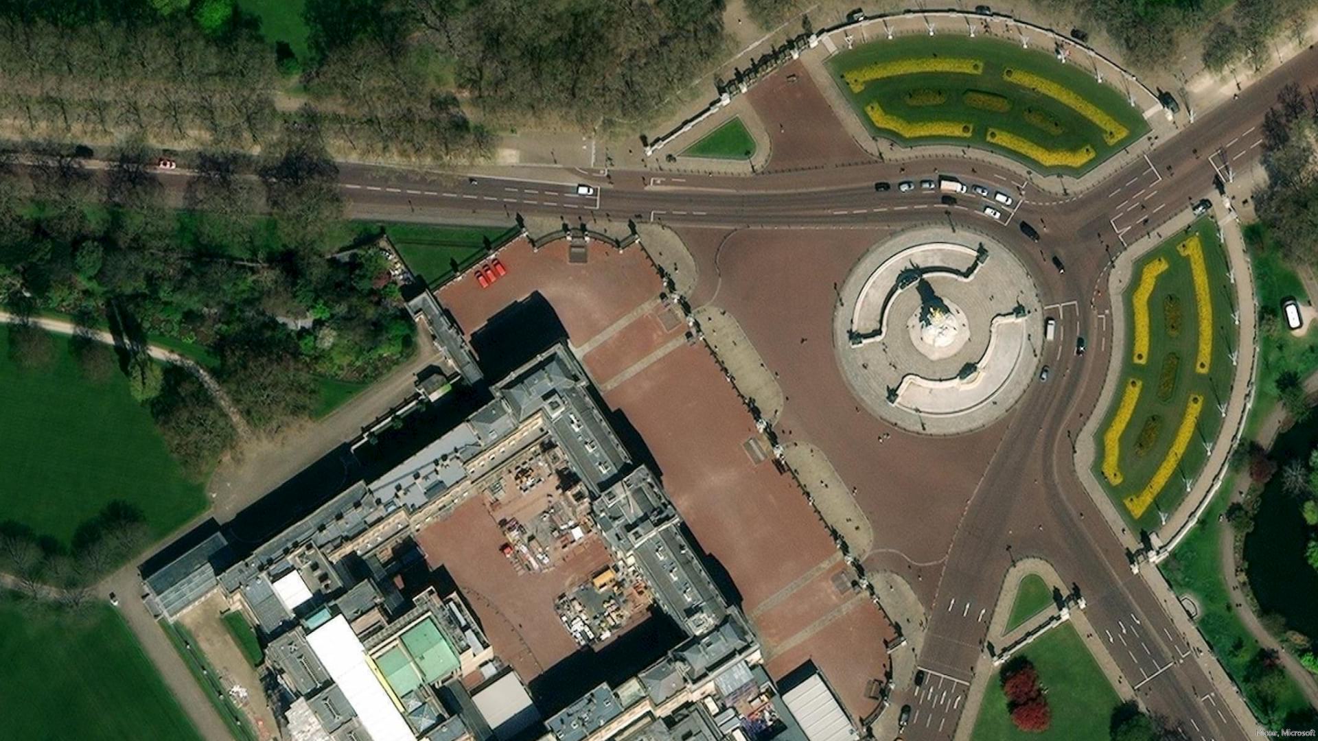
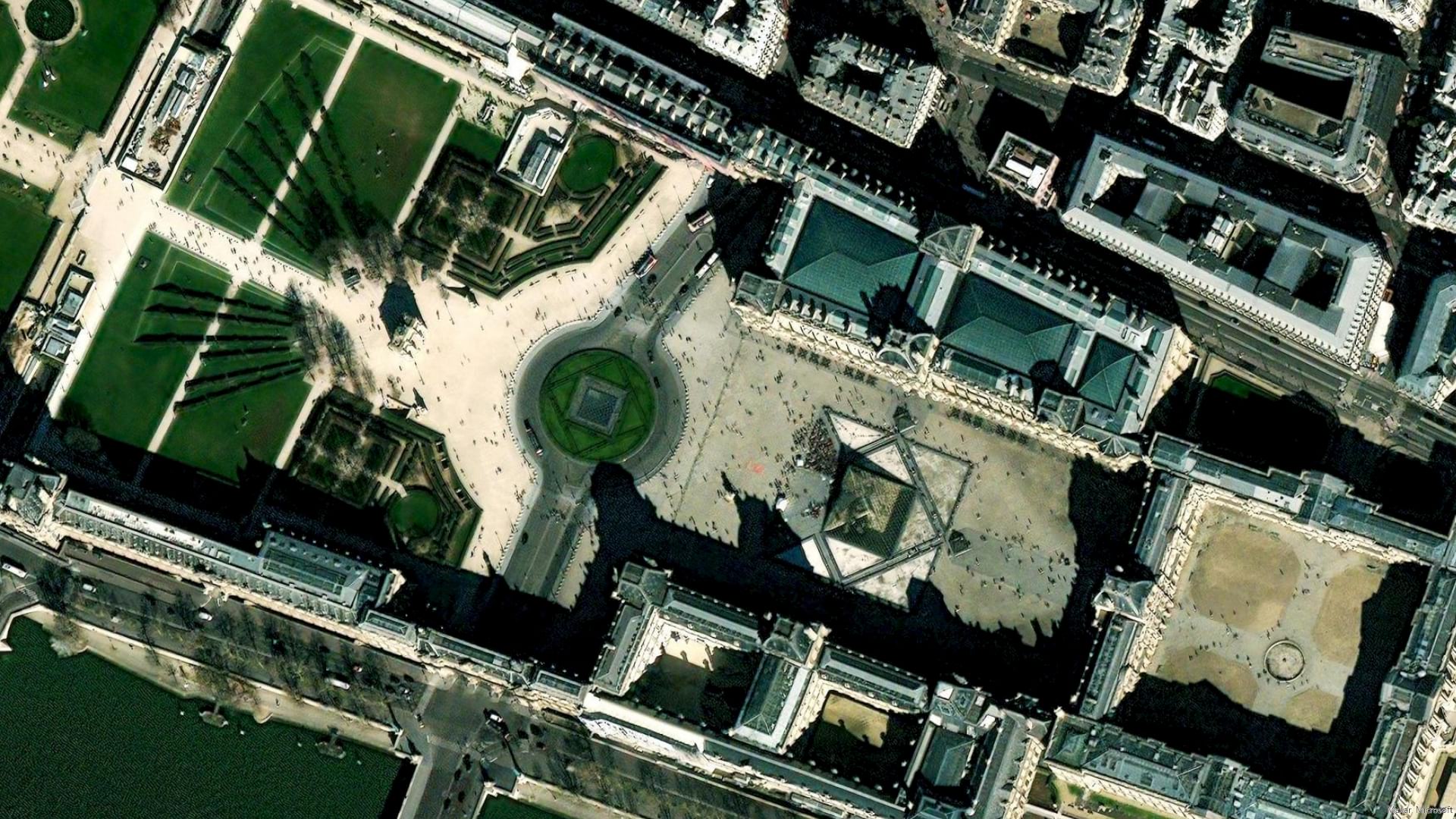
Maxar 30-cm Vivid Advanced metropolitan area updates summary and highlights for Q3 2022.
-
Q3 2022 updates summary for metropolitan areas from Maxar. This view was created using the World Imagery Updates app.
Shout Out
Many thanks to Jim Mason, Chris Egle, Atif Zafar, and the entire team for their diligence in keeping the updates flowing. We all reap the fruits of their labor.
Until next time…cheers!

Article Discussion: