With the ongoing closure of the Strait of Hormuz, 20% of the world’s oil is removed from the market. Consequences of this crisis will likely be severe in Asia, Africa, Europe, and in the United States as well.
One way to fight inflation and cut the energy consumption of the food you eat is to eat seasonally and locally. In the 2000s, my local postcarbon group shared the concept of the 100-mile diet. This diet emphasizes eating what’s within 100 miles of you to reduce the carbon footprint of your food. Not only does this practice save emissions but it saves energy too.
So what are some of the food ingredients that are grown locally to where you live in the USA? The newly updated USA Cropland layer can help you find out.
Washington DC
Washington DC benefits from proximity to both the Delmarva Peninsula and the fertile valleys on the east side of the Appalachians. When the time series animation is played, the USA Cropland layer shows in Delmarva a rotation of soybeans, corn, and winter wheat. Soybeans are used in the USA primarily as animal feed, and in this area, especially chicken and poultry. At the base of the Appalachians, apples arrive in summer and autumn.
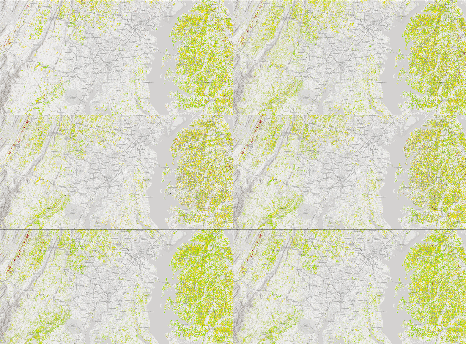
So what’s on the menu? Aside from seafood from the Chesapeake Bay, the map seems to suggest poultry, sweet corn in summer, with local vegetables and bread (winter wheat), apple cider, and apple pie. Maybe this chicken and sweet corn soup would be yummy, as well as blue crab or chicken, bread stuffing, and seasonal vegetables.
Denver
Denver has some cropland on the high plains to its northeast. In this region there is both dryland and irrigated cropland. On the dryland farms winter wheat is grown about every other year, while to the north of Denver you can find areas of alfalfa, corn, potatoes and barley. Alfalfa is used in dairies which becomes milk and cheese. So maybe a cheese sandwich with fries, and beer?
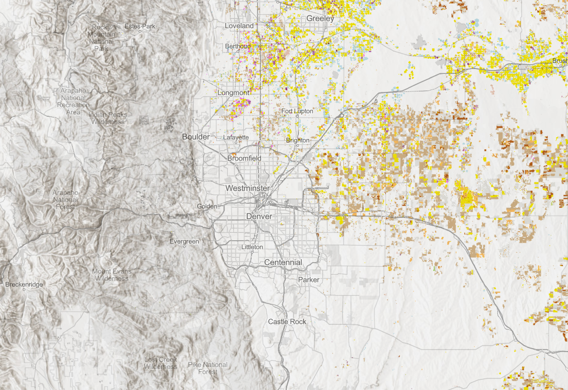
Cropland is only part of Colorado’s agricultural picture. In the Western USA there is a lot of land used for grazing and pasture. By changing the processing template from the default (cropland) to the cartographic renderer we can see all the working landscapes in the layer.
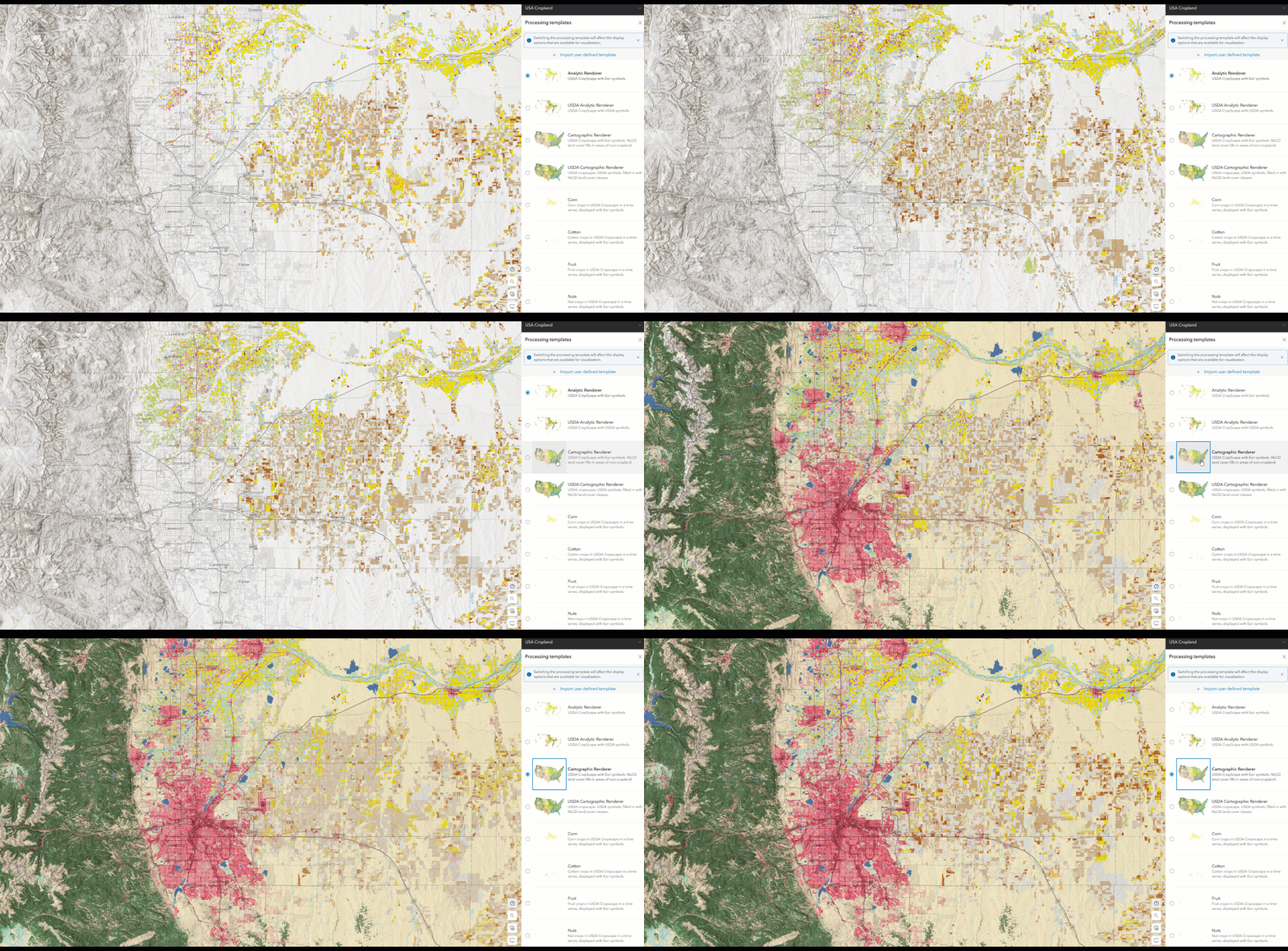
Metropolitan Denver is shown in the center in red, the symbol for urban. Crops are still displayed to the north and east, but on the southeastern high plains we can now see the areas of grazing land in pale yellow. These areas are used to raise beef cattle.
Eating locally in Denver may include cheeseburgers, fries, and beer. Not bad!
Sacramento
We can see as in Denver there are a lot of areas that are used for grazing. Grass-fed beef is definitely on the menu.
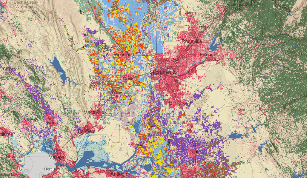
Along with beef there are large areas of tomatoes, almonds, wine grapes, and rice.
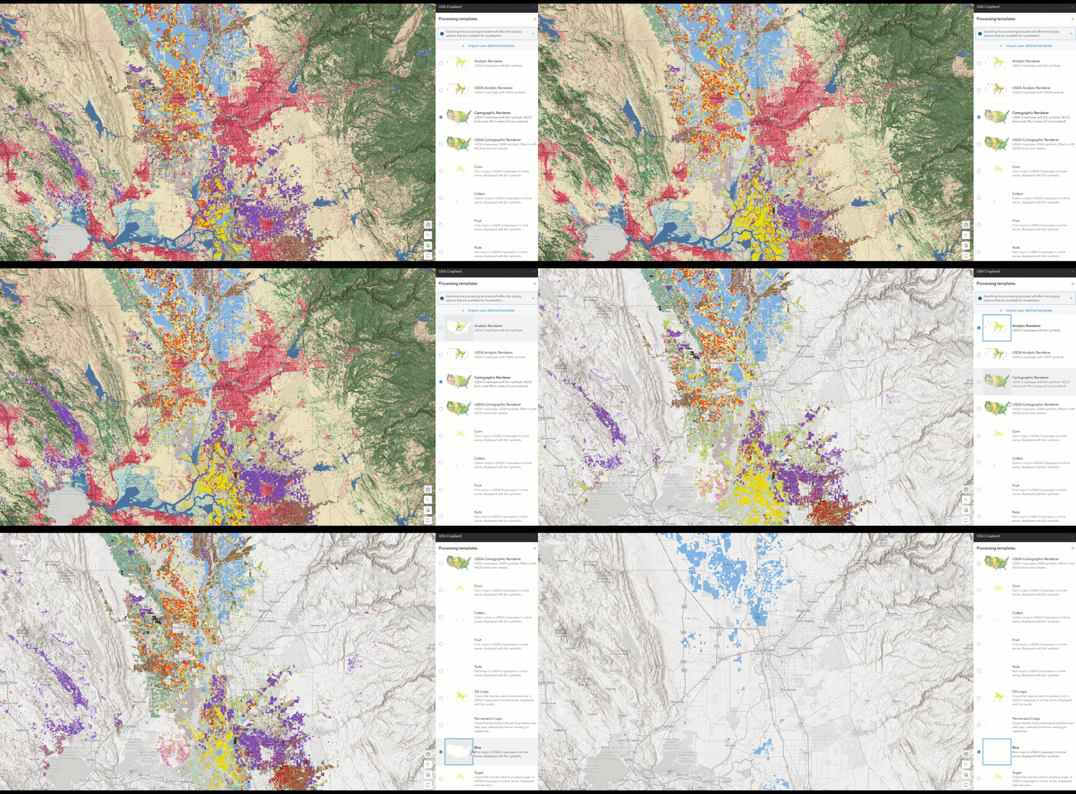
A local recipe from food grown around Sacramento could draw from many traditions: Chinese, Italian, or perhaps Persian. Maybe try a beef pilaf with almonds? This could be served alongside a chardonnay from the Los Carneros region, a zinfandel from Amador County, or a Napa valley red wine. I’m not sure what would make the best pairing for this dish, but it’s worth experimenting to see what works for you!
Farmer’s markets are a great place to find local food. If you find interesting recipes incorporating food local to your location please share it with us in the comments!

Article Discussion: