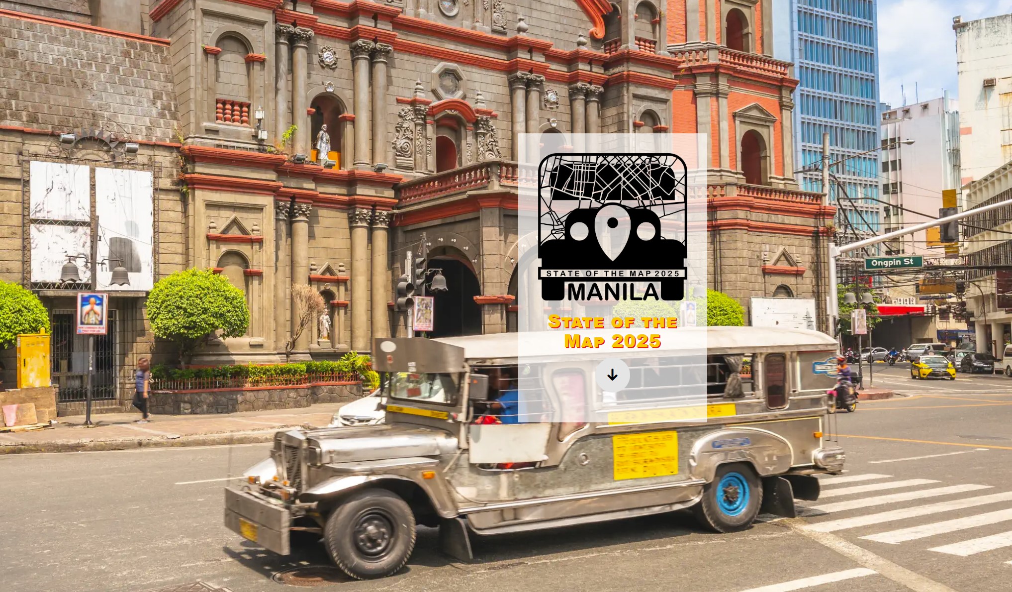
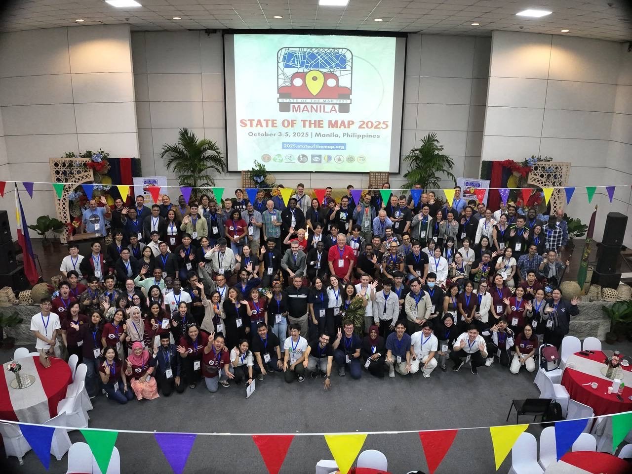
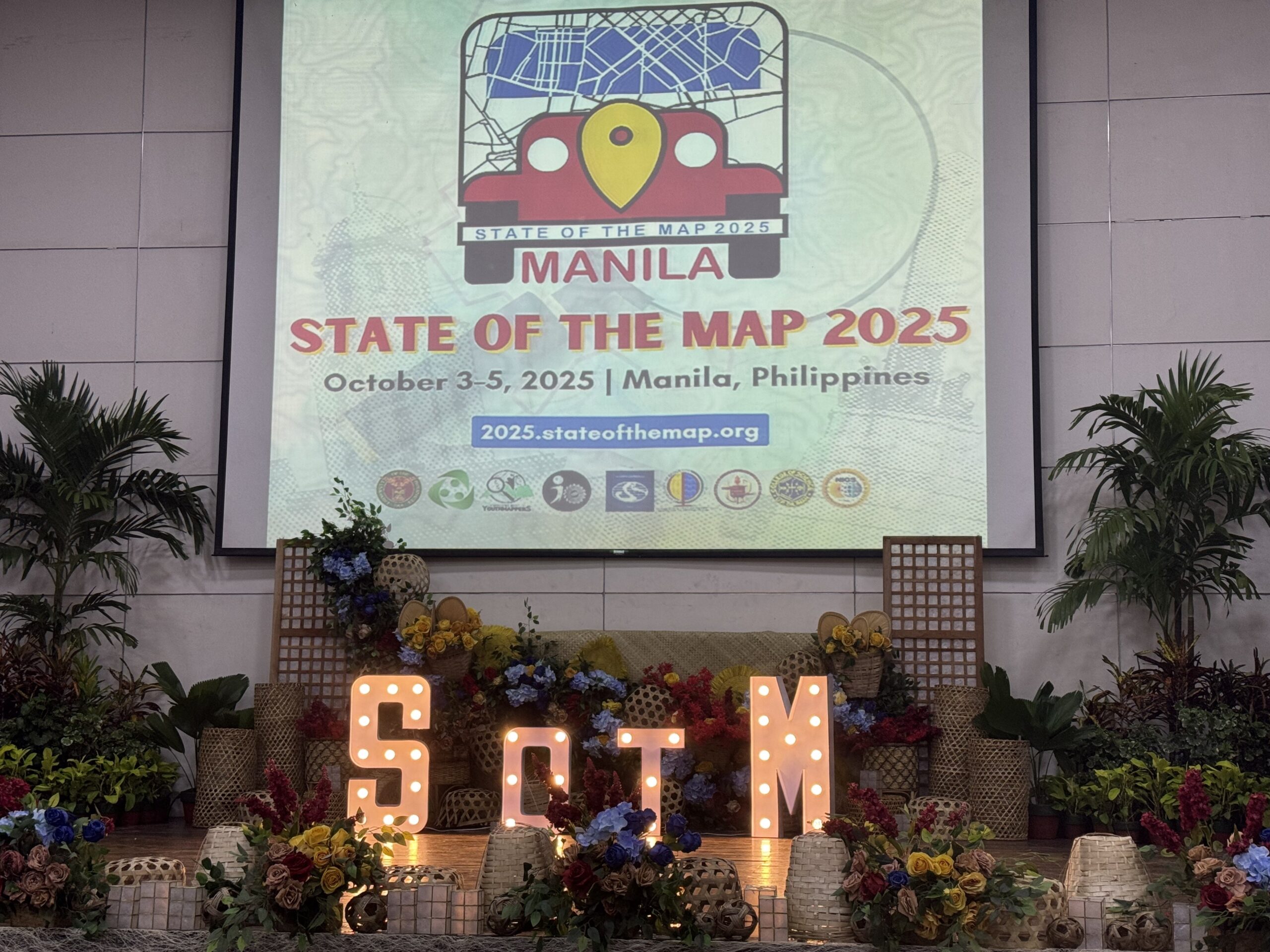
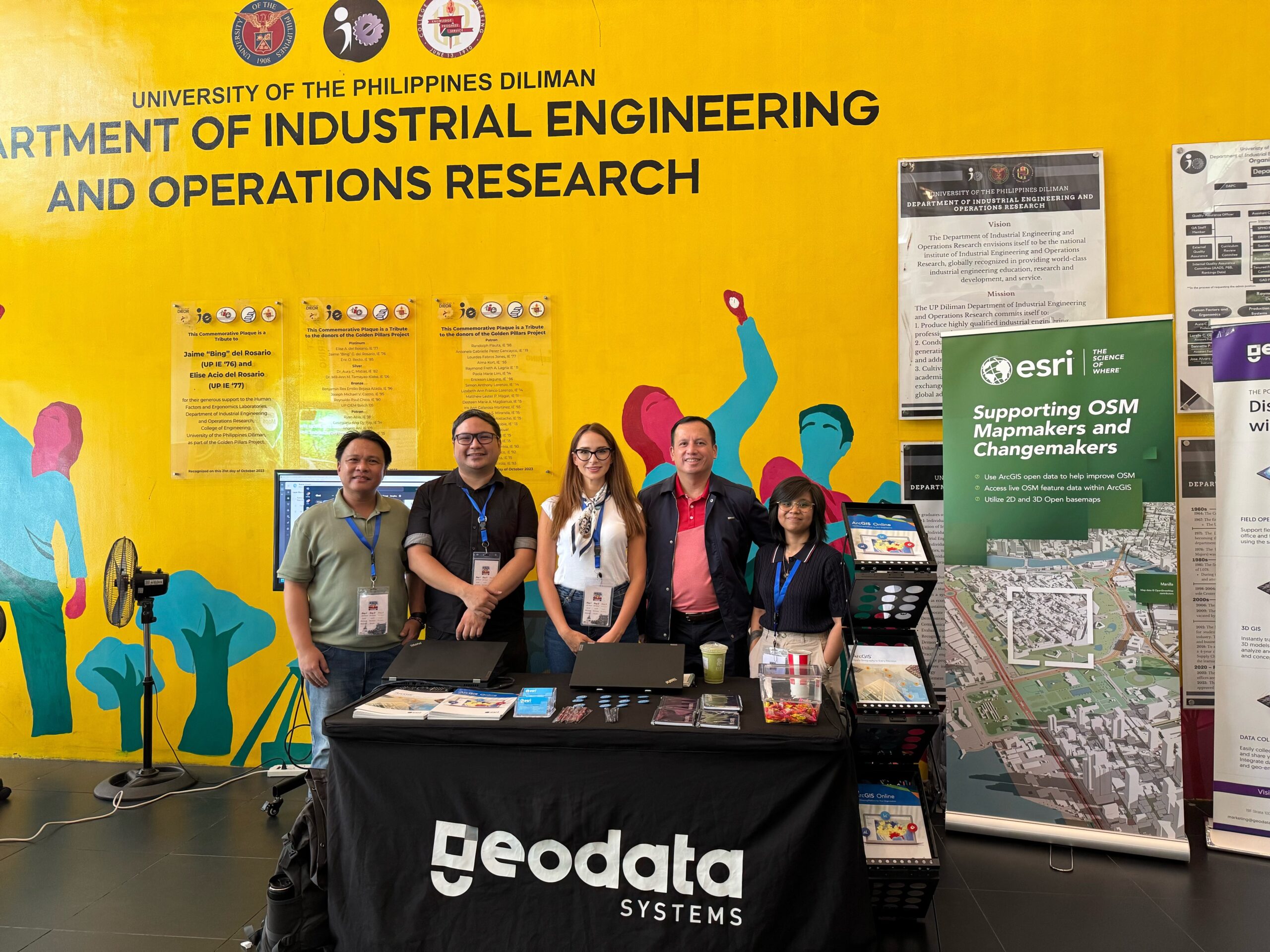
From October 3-5th, OpenStreetMap Foundation organized it’s annual global conference, State of the Map 2025, in Manila, Philippines. As a Gold Level Sponsor, Esri, in collaboration with our local distributor in Philippines Geodata, attended the event, delivered a lightning talk and exhibited at the conference.
The first-ever State of the Map held in Southeast Asia brought together hundreds of mappers, developers, humanitarian responders, and open data advocates. The discussions revolved around how open geospatial data empowers communities, strengthens disaster response, and supports climate resilience across the region and beyond.
During the plenary session on the first day of the conference, one statement deeply resonated with me: “It takes a world to map the world.” Reflecting on my 15-year journey in GIS, spanning three master’s degrees in GIS and numerous global projects; I was reminded of the depth of collaboration and the depth of thought that underpins every map we create. The phrase captured both a figurative and literal truth: Mapping our planet is a collective act of humanity; eight billion people, each shaping, understanding and defining our shared home. Together, we create maps that not only inform, but also help us manage uncertainty, guide us through change, and inspire resilience and hope.
As the President of the University of the Philippines opened the conference, his words set the tone for the days ahead: “Maps are not just tools for navigation or records of geography. In times of disaster, they become instruments of response and equity, guiding humanitarian efforts and saving lives. When Open Mapping meets Open Science, information turns into action, and action into saving human lives.”
He reminded us that the challenges we face; earthquakes, hurricanes, wildfires, and the growing impacts of climate change are far greater than any one of us. Yet when we work together and place data in people’s hands, we empower communities to build better services, ensure equity, and protect dignity. “It’s not just about a map on a screen,” he concluded, “it’s about humanity, openness, and our shared future.”
That, in essence, was the spirit of the State of the Map 2025.
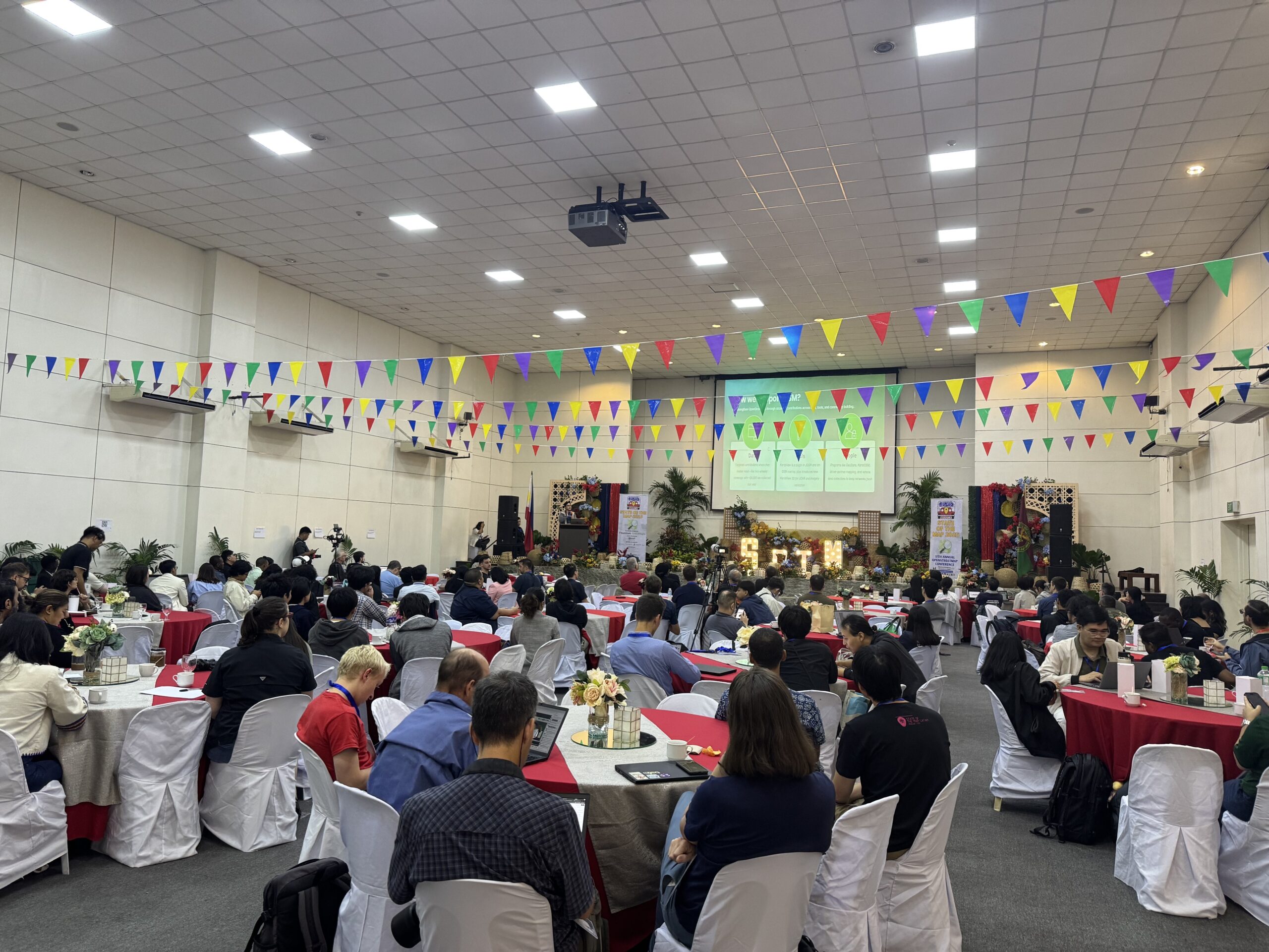
The event celebrated Filipino hospitality through a “Fiesta-style” atmosphere, vegan food corners, more than 20 lightening talks, workshops, and hallway “unconference” sessions that embodied the open spirit of OSM.
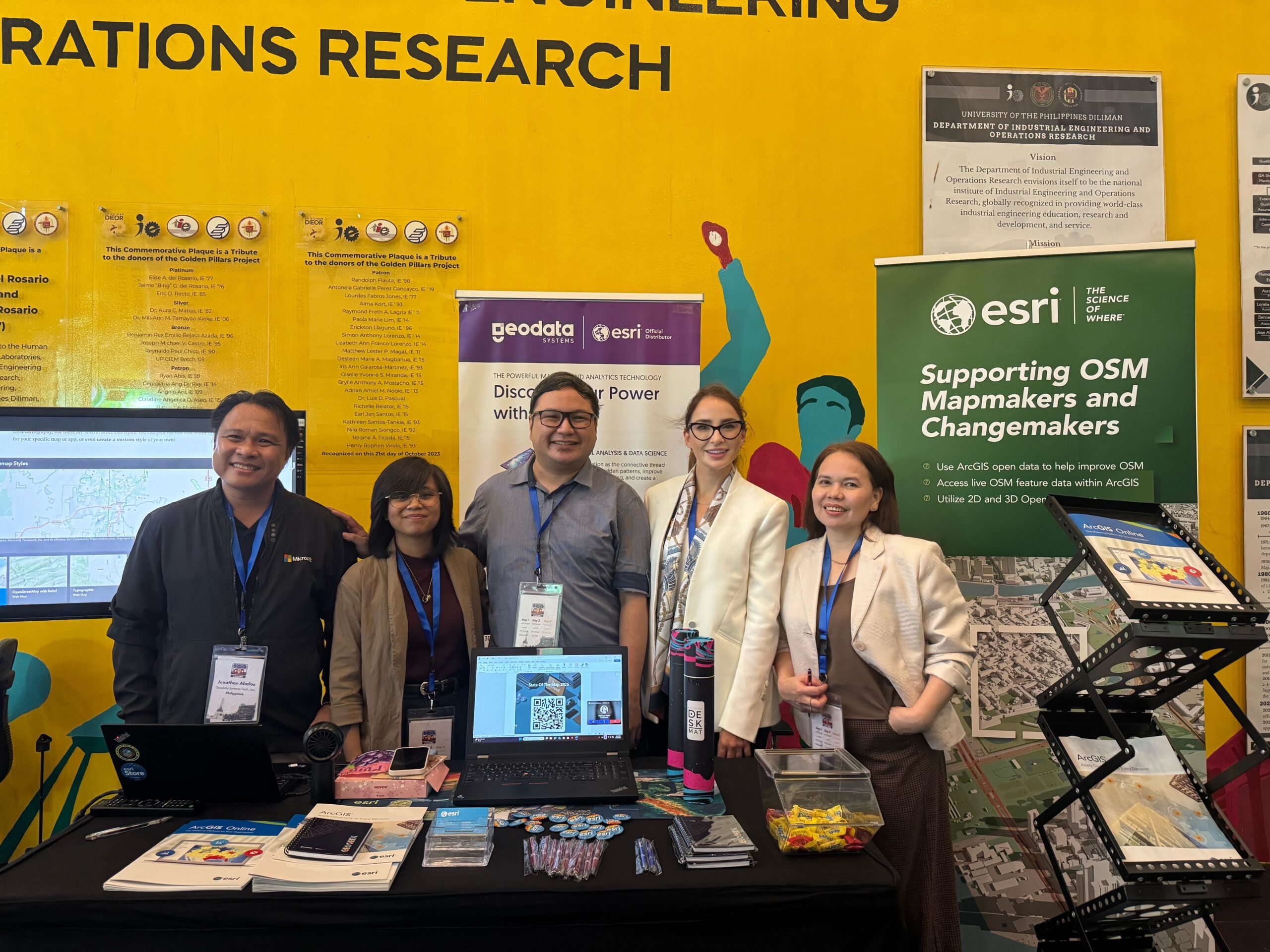
At our booth, Esri and Geodata, we engaged with around 100 OpenStreetMap (OSM) mappers and partners over the three-day event. We featured a few maps and apps in our OpenStreetMap Online Org and Overture Online Org, including a Story Map.
The engagement was very informative and several attendees were delighted to see the enhancement of OSM data presented in 3D, as well as a live replica of OSM data published as Esri-hosted feature layers. Many attendees were also interested in how they could engage with GIS orgs to help improve OSM data.
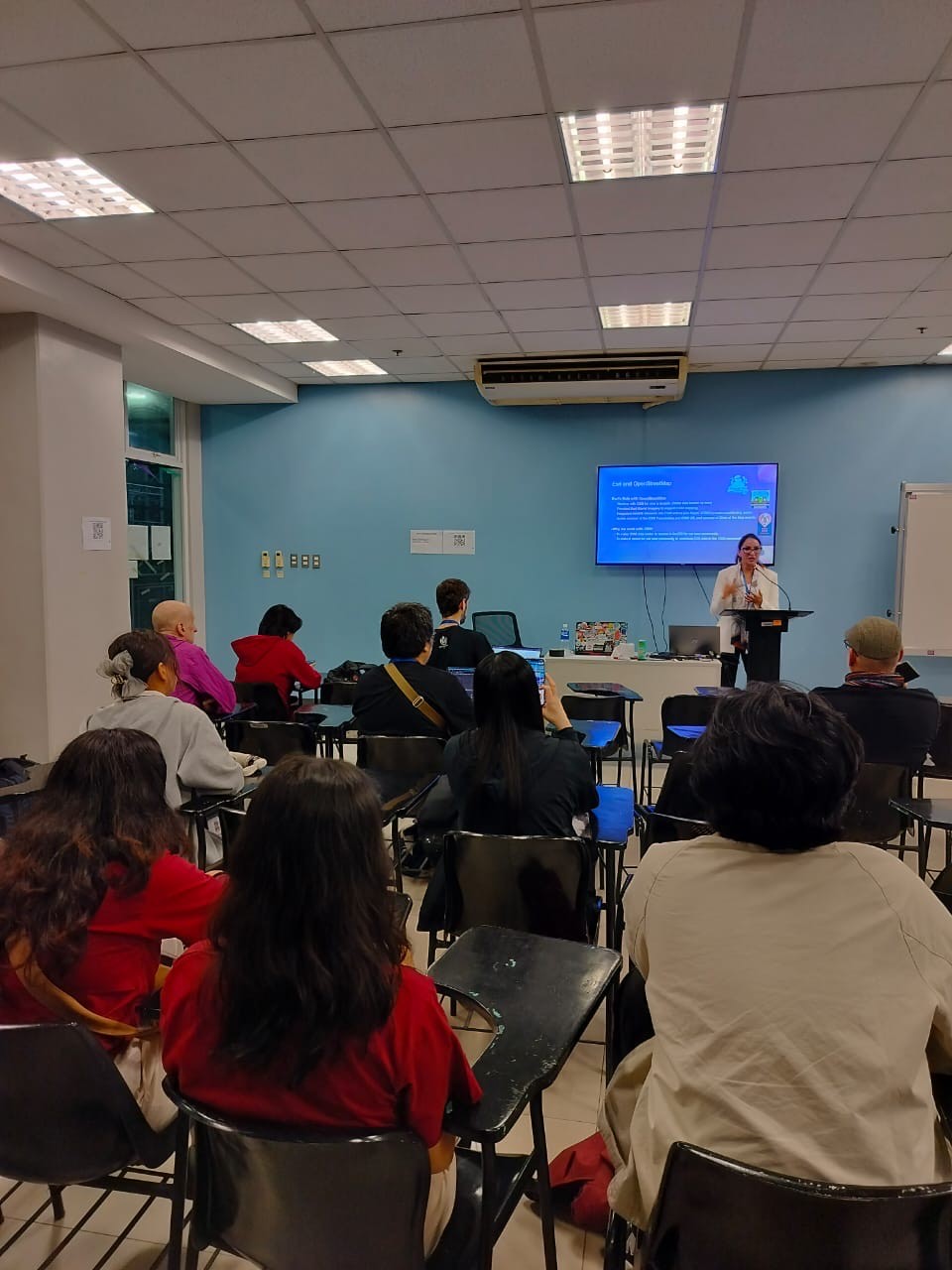
I gave a lightning talk titled “ArcGIS Living Atlas of the World: Open Data Content,” where I highlighted that the Living Atlas now features over 11,000 curated, high-quality layers, maps, and apps; including OpenStreetMap feature layers and basemaps, all available as open content for our users. I also shared some exciting updates, such as the launch of the new Open Basemap built on overture data which replaces the existing OpenStreetMap Vector Basemap based on OSM Daylight due to it’s retirement. And this new basemap is now available in both 2D and 3D, and it’s updated monthly with the latest Overture Maps data.
I wrapped up my talk by highlighting how OpenStreetMap data is available in three powerful formats within the Living Atlas—analysis-ready feature layers, 2D basemaps, and 3D basemaps. I also shared how Esri continues to collaborate with the OSM community, making Living Atlas data accessible directly through popular editors like RapID and JOSM, bridging the gap between open data creation and professional GIS use.
Following my presentation, here are a few key takeaways from the conference that stood out to me.
5 Key Takeways
1. Maps as Tools of Solidarity:
The University President emphasized that maps are “instruments of solidarity and hope,” advocating for democratized, community-driven data.
2. Climate & Disaster Resilience:
Taichi Furuhashi showcased how OpenStreetMap transformed disaster preparedness in the Philippines, enabling rapid mapping after major cyclones and expanding the YouthMappers network across 25 active chapters.
3. Industry Collaboration:
Alongside Esri, GrabMaps and TomTom illustrated how corporate mapping ecosystems can strengthen open data. Grab uses OSM as a core platform, processes 2TB of GPS data daily, and supports community mapping via KartaView and KartaOSM. Key insight being “Local knowledge wins — automation can’t replace on-the-ground mapping.”
4. Humanitarian OpenStreetMap Team (HOT): 15-Year Anniversary
Geoffrey Kateregga highlighted HOT’s evolution from the 2010 Haiti earthquake response to a 500,000-volunteer global network.
Future direction includes AI-assisted mapping (fAIr) for building detection and flood analysis — with communities remaining at the core.
5. Technical Innovation:
Martin Raifer introduced updates to iD Editor, improving accessibility and adding vector tile support and smart tagging — reinforcing the principle that “mapping tools should adapt to the mapper, not the other way around.”
Conclusion
The State of the Map 2025 – Manila conference highlighted how open mapping transcends geography, it is about empowering humanity. From disaster response to AI-driven innovation, the message was clear:
Keep mapping. Keep maps open. Keep communities empowered.
As we continue to expand what’s possible with OSM data on our platform, we remain deeply committed to supporting the OpenStreetMap project and its vibrant global community.
I’m deeply grateful for the experience of participating in State of the Map and for feeling the warmth, kindness, and resilience of both the Philippine culture and the OSM community. My first visit to the Philippines reminded me of the heart of our work — to connect, contribute, create, and find joy in life’s simplest moments.
Sincere thanks to the amazing Geodata team, especially Jonathan G. Abalos, for being such gracious hosts. Everything was beautifully organized, and their passion and engagement made the event truly inspiring. Maraming salamat po!
Want to be part of this global effort? Here’s how…
Mapping our world is something anyone can take part in. Join the OpenStreetMap community, contribute what you know about your corner of the planet, and help build a map that reflects all of us.
You don’t need to be a GIS expert to start. Try the Rapid Editor a simple, browser-based tool that lets anyone map using their own local knowledge. Add what you know, save your edits, and see them come to life on the OpenStreetMap basemap for the world to explore.
Thank you for all your contributions. Together, we’re mapping a better world.

Article Discussion: