ArcGIS Mission is all-inclusive command and control software that streamlines operations, while providing teams with tactical situational awareness of an operating environment. Establish command and control via peer-to-peer (P2P) communication between the field and command center in disconnected, intermittent, or limited-bandwidth environments. ArcGIS Mission enables teams to better understand their operations, make informed decisions in real time, and acquire new understanding from completed missions. ArcGIS Mission is made up of three components:
- ArcGIS Mission Manager is a premium web app that organizations can use to manage their missions, assign mission members, and distribute mission content.
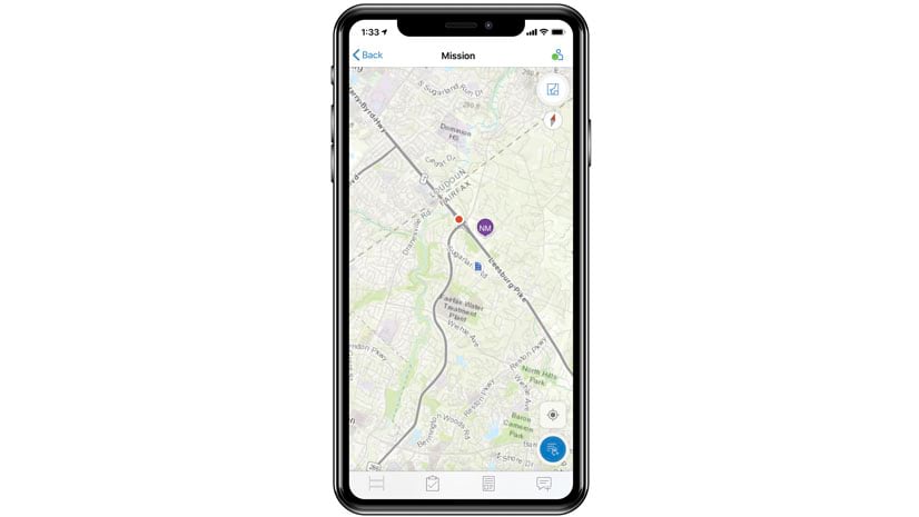
- ArcGIS Mission Responder is a mobile app that mission members can use in the field to share location tracks, map markups, and photos.
- ArcGIS Mission Server is an ArcGIS Enterprise server role that enables peer-to-peer communication among all mission team members.
The upcoming ArcGIS 2021 release of ArcGIS Mission enhances the functionality in the Mission Manager web app, extends peer-to-peer capabilities in the Mission Responder mobile app, and introduces an API for automating missions with Mission Server.
In ArcGIS Mission Manager, command center operators can look forward to new measurement tools that enable the dynamic measurement of distances and areas on the mission map. More tools will also be added to conduct real-time analysis such as creating a buffer around a specified location to help you find the nearest Mission Responder users. In our previous release, we introduced the ability to create tactical summary reports from the field. We are happy to announce that with the ArcGIS 2021 release in May, users will be able to create their own custom reports specific to their organization’s needs and leverage those reports as a template for their mission.
ArcGIS Mission Responder, a clean and simple mobile app used to communicate with teammates has been upgraded and optimized for performance on the ArcGIS Runtime SDK allowing for future development on Esri’s developer technology. Support has also been expanded for disconnected workflows, for example, while in peer-to-peer (P2P) mode, both iOS and Android devices allow access to tasking, reporting, and storage of tracks and messages with synchronization back to the Mission Server and ArcGIS Enterprise.
ArcGIS Mission Server is the key component of Mission that optimizes the near real-time communication experience and we continue to evolve and expand on its scalability and performance, allowing more connections from clients. The upcoming release also provides a public API for automating and bulk processing, such as the creation and management of multiple missions and related resources.
There is much more that is included with the ArcGIS 2021 May release such as enabling enterprise security support for web-tier authenticated environments (IWA, PKI, and SAML) and more Cloud support as users can look forward to deploying Mission on both AWS and Azure Cloud environments.


Article Discussion: