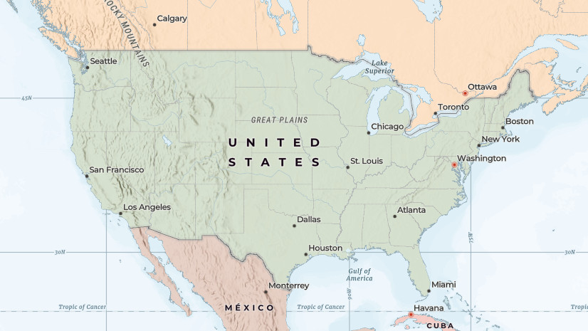
In February 2025, we introduced a new set of Esri Vector Basemaps for the United States. These custom basemaps include place names defined by the U.S. Government, as described in official sources such as the Geographic Names Information System (GNIS), as well as treatments of disputed boundaries and places defined by the State Department.
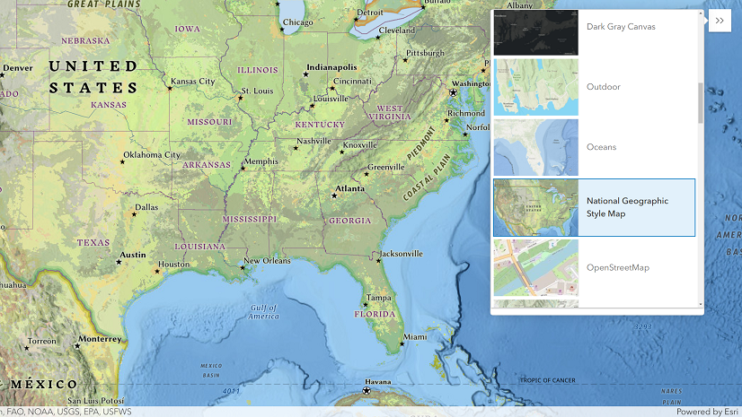
As part of the Esri Vector Basemap updates this week, we have updated these custom basemaps for the United States to include labels for “Lake America” in accordance with Executive Order 14422 and as described in recent updates to GNIS. These updates will appear automatically for ArcGIS Online users located in the United States or ArcGIS organizations and users that have set their region to United States.
Accessing Custom Basemaps
In previous blog articles, we have described how organizations can access these and other custom basemaps in ArcGIS Online and ArcGIS Enterprise. If these configuration changes have already been made for your organization or account, then nothing additional should be needed to see recent or future updates to the custom U.S. basemaps. If you are not seeing the changes in an existing web map or app and would like to use the custom U.S. basemaps, then you will need to update your web map(s).
ArcGIS includes a wide variety of basemap styles and options that are designed to support a diverse set of use cases and user communities. We encourage you to configure your ArcGIS organization to offer the most appropriate set of basemaps for your content creators and end users.

Commenting is not enabled for this article.