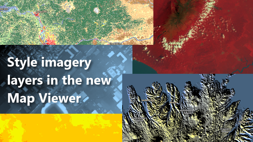
The September 2021 ArcGIS Online update for Map Viewer offers more ways to change the display properties of dynamic imagery layers in web maps. You can now apply predefined processing templates published with the layer or change the image display order of imagery layers that are part of an imagery collection. These dynamic imagery layers with display and processing templates can then be shared with your organization for their various uses.
Apply a Processing Template
Processing templates are used to generate on-the-fly information layers. They are predetermined display settings or raster function processing chains associated with imagery layers. Applying a processing template allows authors of web maps to render images in different ways to convey and share derived information for powerful visual analysis.
The Landsat GLS multispectral image service shown below is published with multiple processing templates. These are not separate imagery layers; rather, it is one imagery layer that can be displayed with different processing templates. You can choose to display the imagery layer with any of the predefined processing templates, such as geology, agriculture, tasseled cap transformation, and more.
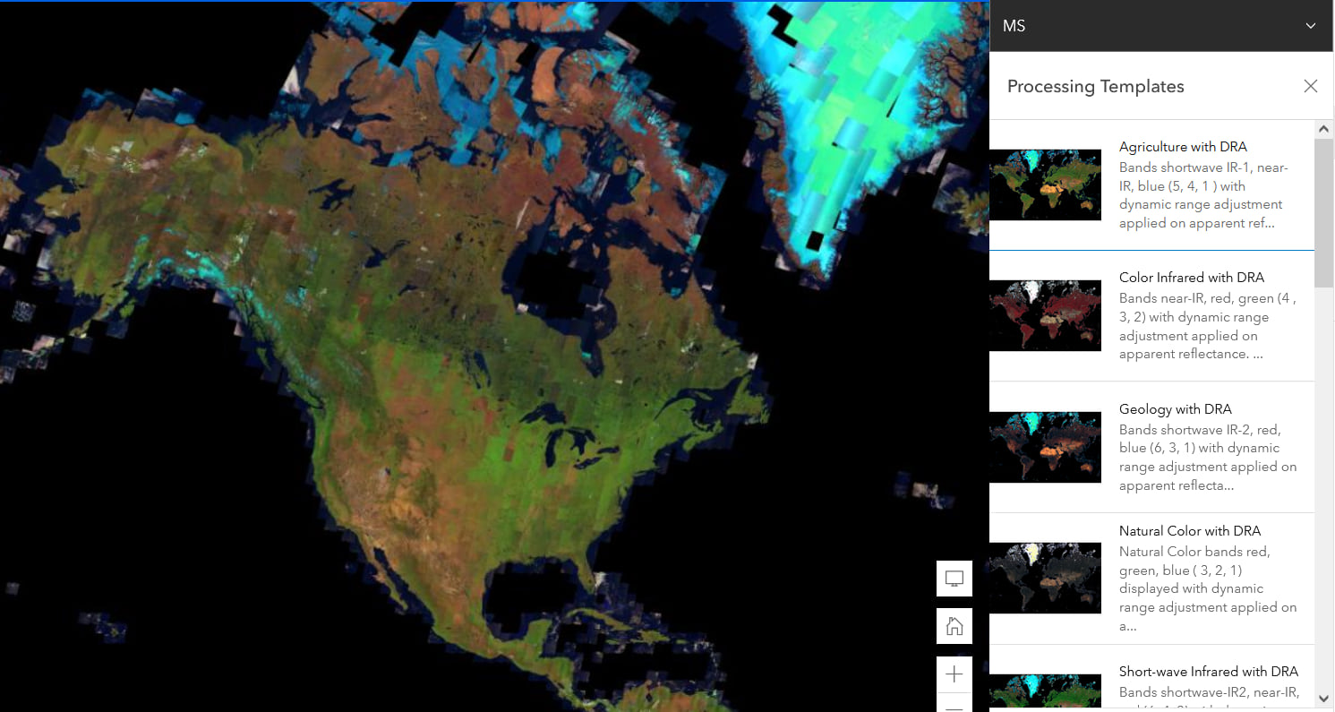
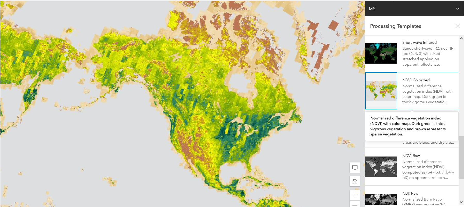
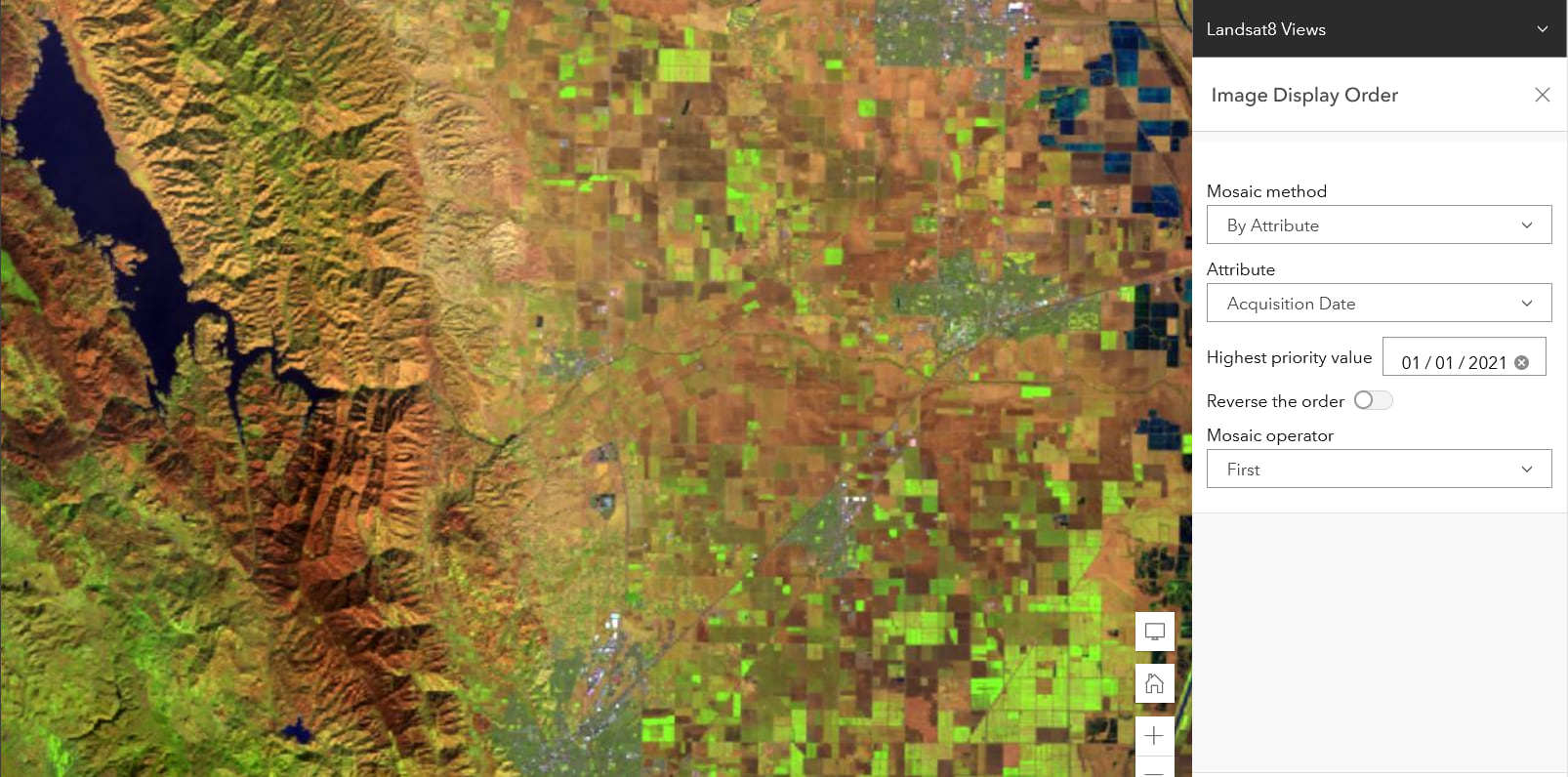
Image Display Order
A dynamic imagery layer can contain a collection of images which can be mosaicked on-the-fly to appear as a single image when the layer is displayed in a map. Property settings control the image display order, determines how the images are selected , and how the overlapping pixels from different images are resolved.
Below, imagery from the Landsat 8 Views image service from the Living Atlas is displayed according to the most recent acquisition date as you zoom and pan around the layer.
Dive In !
Dive right in and try these out yourself. The step by step instructions to apply a processing template published with a layer, and to change the display order, can be found in Set image display properties.
The ability to apply custom rendering rules to an imagery layer in ArcGIS Online will be coming soon.


Article Discussion: