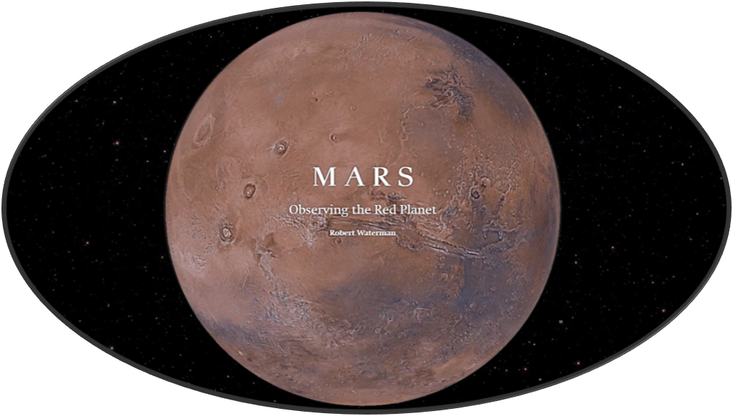
Given its relative proximity to Earth, as well as being the second most hospitable planet in our solar system, Mars is an obvious choice for human observation and exploration.
From celestial charts inscribed on the ceilings of ancient Egyptian tombs, to modern day digital imagery maps, humans have been observing and documenting Mars for millennia. NASA has been using spacecraft for remote sensing of Mars since 1964, when Mariner 4 became the first mission to successfully take close-up photos of the Martian surface. Subsequent missions have produced a number of imagery archives and products.
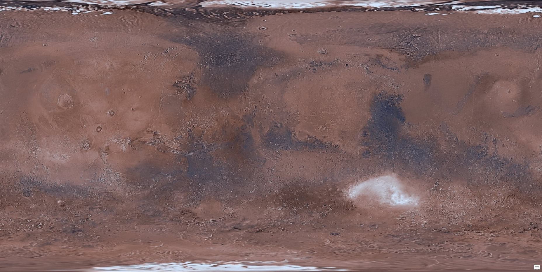
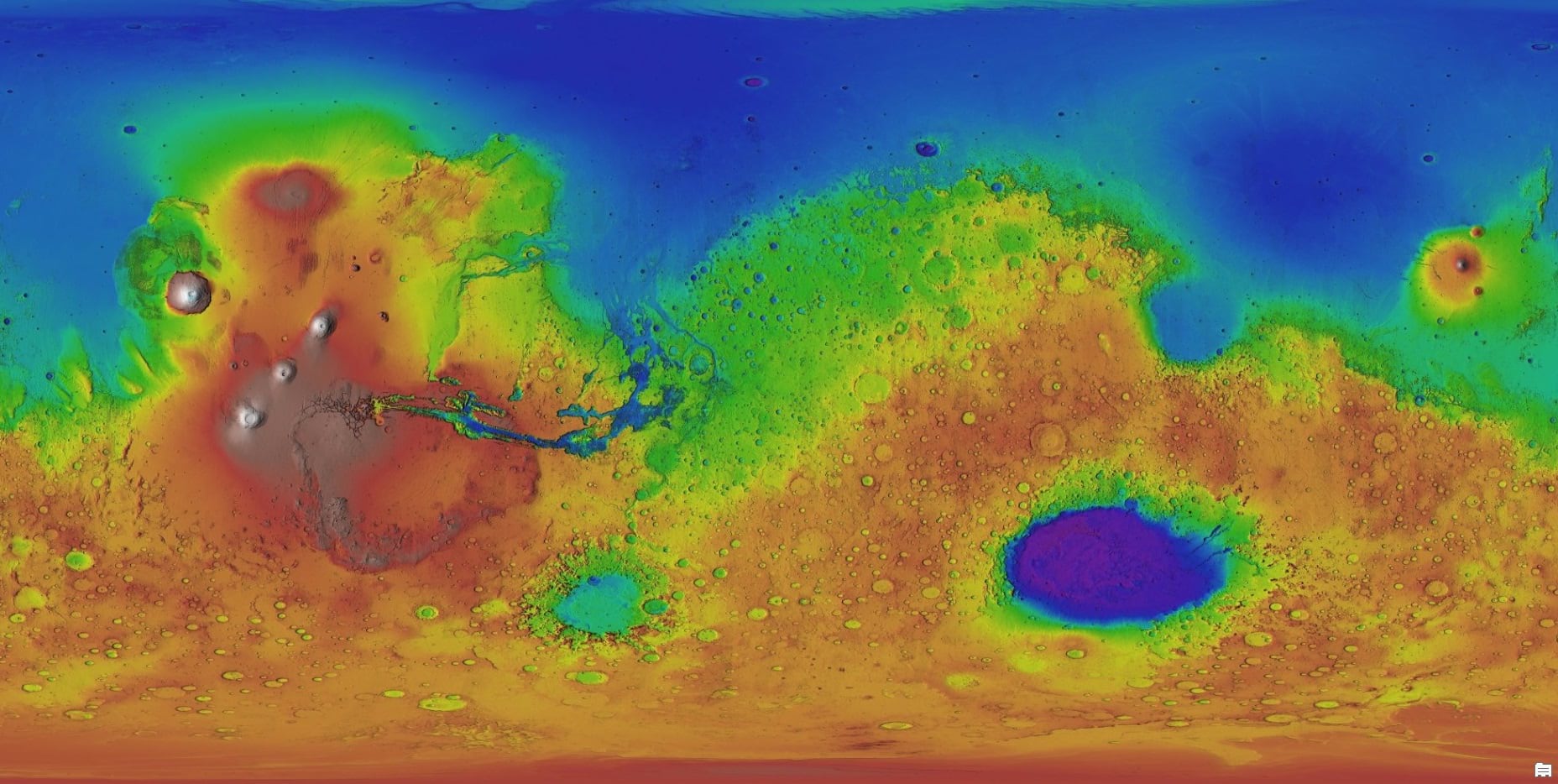
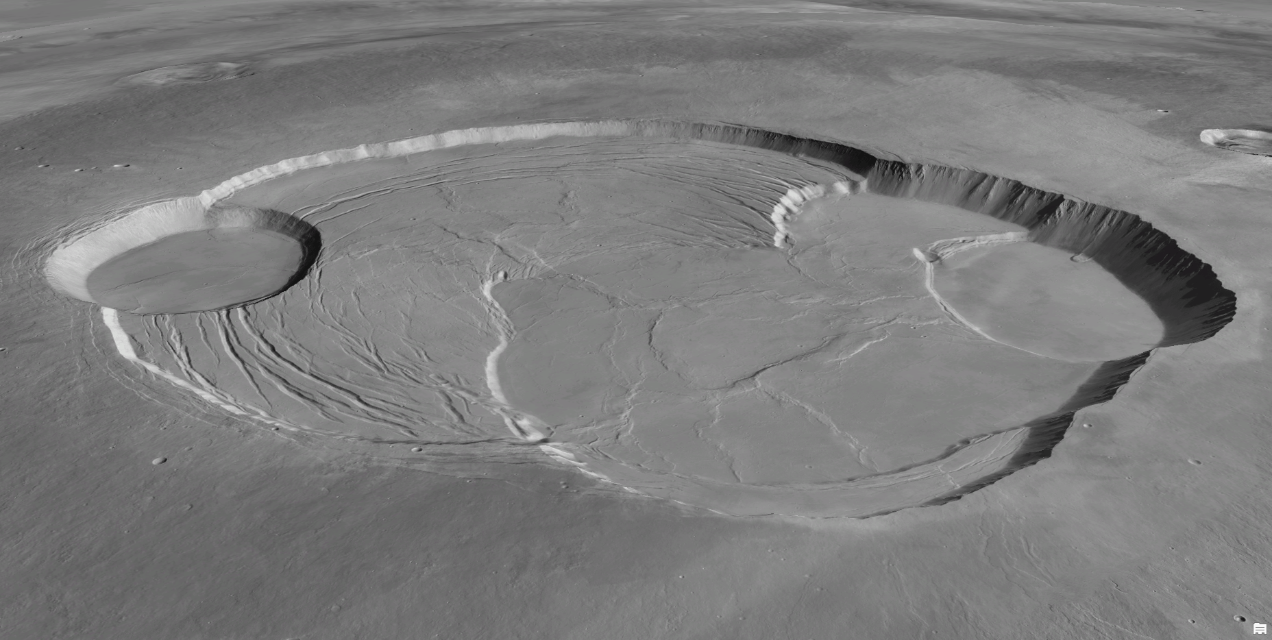
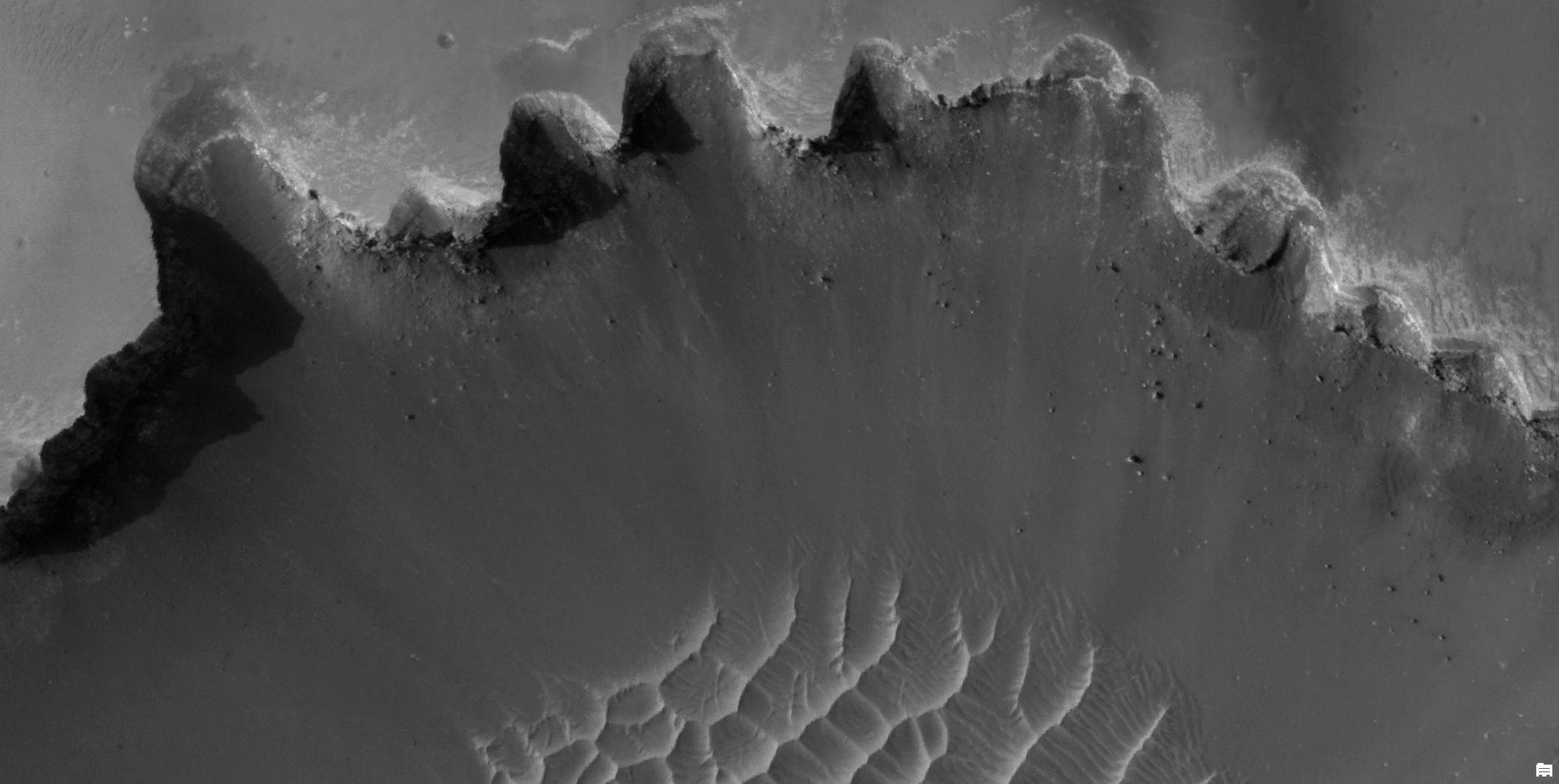
Passionate about making access to imagery fast and scalable, Dr. Lucian Plesea of Esri has recently made some Mars imagery products accessible as highly performant web services in ArcGIS Online. Through collaboration with planetary mapping guru Trent Hare from the USGS Astrogeology Science Center, Dr. Plesea also produced the most comprehensive online composite of HiRISE imagery to date.
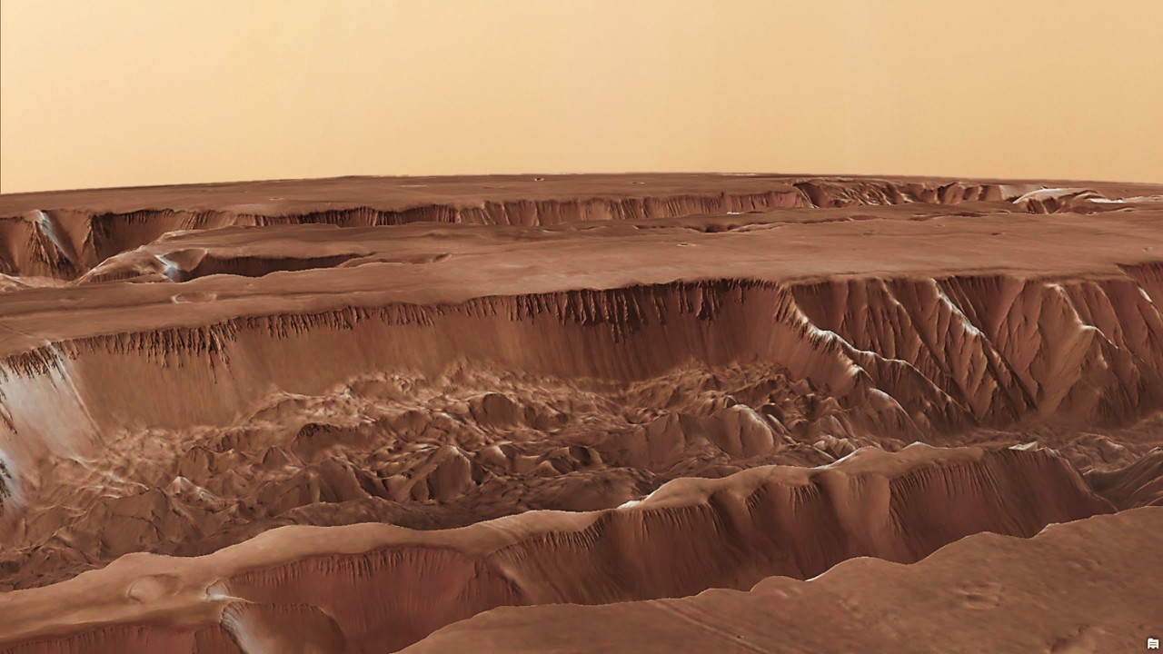
What does this all mean? Well, it means that you can use a variety of ArcGIS tools and viewing environments to experience some great Mars imagery and terrain data. It is worth noting that there is still a bit of R&D involved, and there are some limitations with extraterrestrial data in the platform. However, we don’t think this should stop you from having some fun and making your own Mars observations.
Apps and Maps
The StoryMap highlighted below provides an overview of Mars imagery while highlighting some of its most spectacular surface features.
This web map contains a number of imagery layers along with named features and locations (nomenclature). You can point and click on the map to get more information about certain features. You can also use the search bar to find and zoom to features by name.

Imagery and Elevation Layers
Each of the layers highlighted below can be found in the Esri Astro Group in ArcGIS Online.

Commenting is not enabled for this article.