Esri builds and maintains a continuous global basemap, an ever-evolving digital representation of our world. This basemap often begins with foundational data from commercial vendors and open data sources. While these providers deliver broad coverage across vast regions, they sometimes balance geographic precision and detail against the challenge of mapping the entire planet. After all, maintaining the shape and name of every building, park, and road on Earth is no small feat.
That’s where Esri’s unique advantage comes in. Our community of GIS professionals, organizations, and software users – located in every corner of the world – create and maintain authoritative local data every day. The Esri Community Maps Program connects these local experts, integrating their high-quality, up-to-date data into Esri’s global basemaps to ensure the most accurate and current representation possible.
Consider a few examples:
-
When a new Performing Arts Center is built on the Crafton Hills Community College campus in Yucaipa, California, the local community knows before the first shovel hits the ground.
-
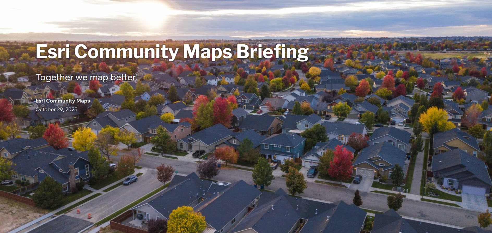
When the Bennington housing subdivision is approved for development, the county GIS department likely has it mapped in their database before construction begins.
-
When New York City renames Morris Garden Park to Mabel Hampton Playground, the city’s local government captures the change long before it reaches global data vendors.
By connecting this global network of local contributors, Esri ensures its basemaps reflect the most accurate, authoritative, and up-to-date geographic information available.
Click on the StoryMap below for all the details!

Article Discussion: