The Community Maps Team is off to a busy start this year! Q1 basemap release incorporated updates and new contributions from more than 200 communities worldwide, highlighting its continued growth and global impact while expanding access to authoritative geographic data.
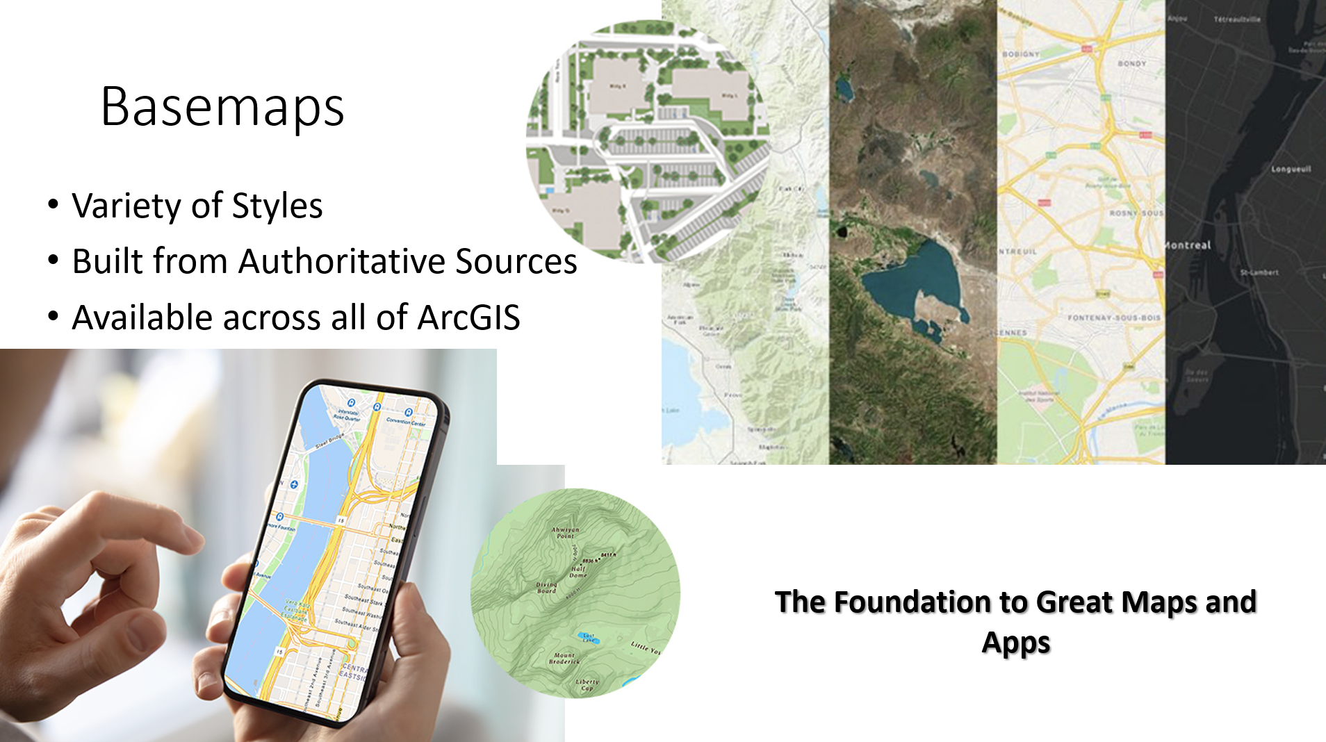
Esri Community Maps advances a more connected and informed GIS community by enabling shared data that drives smarter maps, better decisions, and stronger collaboration. These basemaps serve as a trusted foundation for public services, policy, emergency response, and community engagement.
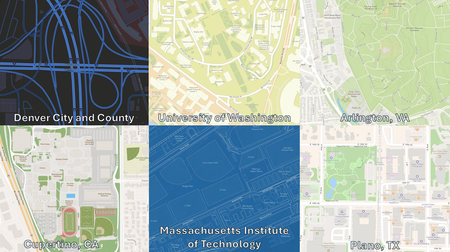
The Esri Community Maps program is a collaborative initiative that enables organizations to enhance Esri’s basemaps by contributing authoritative, locally sourced geographic data. Contributors—including cities, counties, universities, and other trusted institutions—bring deep local knowledge and maintain the most accurate, up-to-date information about their communities.
By sharing this data, they help create more precise, reliable, and context-rich maps that support a wide range of users, from planners and first responders to educators and analysts. This collaboration ensures GIS resources reflect real-world conditions and can be trusted for decisions related to infrastructure, public safety, sustainability, and more.
Participants contribute key data layers—such as buildings, parcels, parks, boundaries, transportation networks, and high-resolution imagery—which are seamlessly integrated into Esri’s global basemaps. The result is improved visual clarity, greater spatial accuracy, and stronger consistency across systems and organizations.
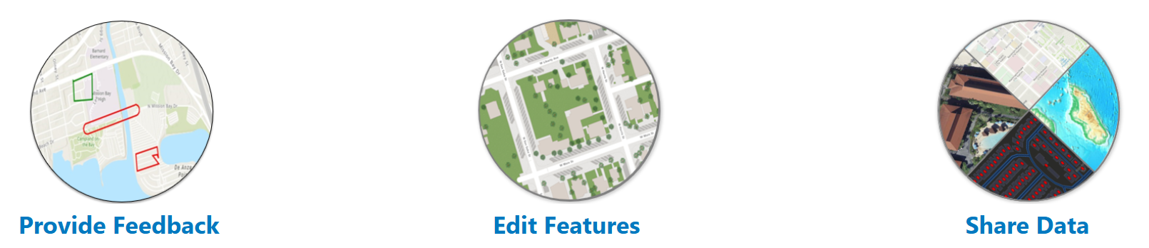
Learn more about Esri Community Maps and how your organization can participate by clicking the image below, or email us at communitymaps@esri.com.

Article Discussion: