There are over 200 miles of interconnected asphalt shared-use paths. That is probably what our area is most known for when it comes to recreational facilities and amenities, that and an abundance of exceptional parks.
The Illinois Metro-East, a collection of suburban and rural communities located across the Mississippi River just east of the City of St. Louis, boasts a growing number of public parks and regional trails used for recreation, transit, health and wellness, and more. The Metro East Park and Recreation District (MEPRD) encompasses the Metro-East’s two most populous counties of St. Clair and Madison and works alongside its public partners to expand and improve the diverse public parks and accessible trails that exist throughout its jurisdiction. In recent years, MEPRD has worked to not only to publish interactive maps that reflect existing recreation-based facilities and infrastructure, like parks, sidewalks, bike trails, and hiking trails, but also mapping future trail alignments and park amenities, contributing its park and trail data to Esri twice a year via the Community Maps Program adding considerable detail to the public basemaps, and improving awareness of local parklands by engaging the public with story-based maps—all utilizing Esri’s maps and related services. Below are just a few examples where MEPRD utilizes Esri products to enrich the world around them.
MEPRD Sidewalk Statistics Map
MEPRD developed this app to illustrate what communities have the most or least miles of sidewalks represented by the size of circle around the community. Click individual communities to see the specific mileage for each.
There is much more than shared asphalt paths and sidewalks! By partnering with and supporting the efforts of both county transit districts that operate within its jurisdiction – Madison County Transit District (MCT) and St. Clair County Transit District (SCCTD), as well as municipal park departments and districts, Metro East Park and Recreation District (MEPRD) is helping grow, improve, and maintain a public system of interconnecting parks and trails throughout their district. For over twenty years, MEPRD has partnered with local governments, special districts, and other jurisdictions to develop and improve parks, recreational facilities, and trails throughout Madison and St. Clair Counties, Illinois.
MEPRD also works to increase public’s awareness and usage of the public parks and trails located throughout the jurisdiction, to include MEPRD’s own facilities as well as those owned and operated by their partners. According to the latest figures, MEPRD’s jurisdiction is comprised of a total of 325 public parks, representing approximately 28,753 acres.
MEPRD Trail Map
MEPRD's online trail map features numerous layers to include bike trails, hiking trails, walking paths, existing trails, proposed trails, trails under construction, sidewalks, parking locations, restrooms, and parks. Additionally, the map features a find-me button, interactive layers, a measuring tool, print to pdf, and a search function.
The most significant benefit from hosting park content on ArcGIS is that it enables us to seamlessly create, share, and update meaningful, interactive content for the public’s use. This, in turn, helps MEPRD increase awareness, appreciation, and use of all the incredible parks, trails, and recreation facilities located throughout our jurisdiction.
MEPRD’s Community Maps, which are custom-crafted maps showcasing the parks, trails, and recreation facilities for each municipality within Madison and St. Clair Counties, Illinois is a great example of collaborating and sharing information. Public agencies can make use of their Community Map however they see fit, such as by embedding the map into their website.
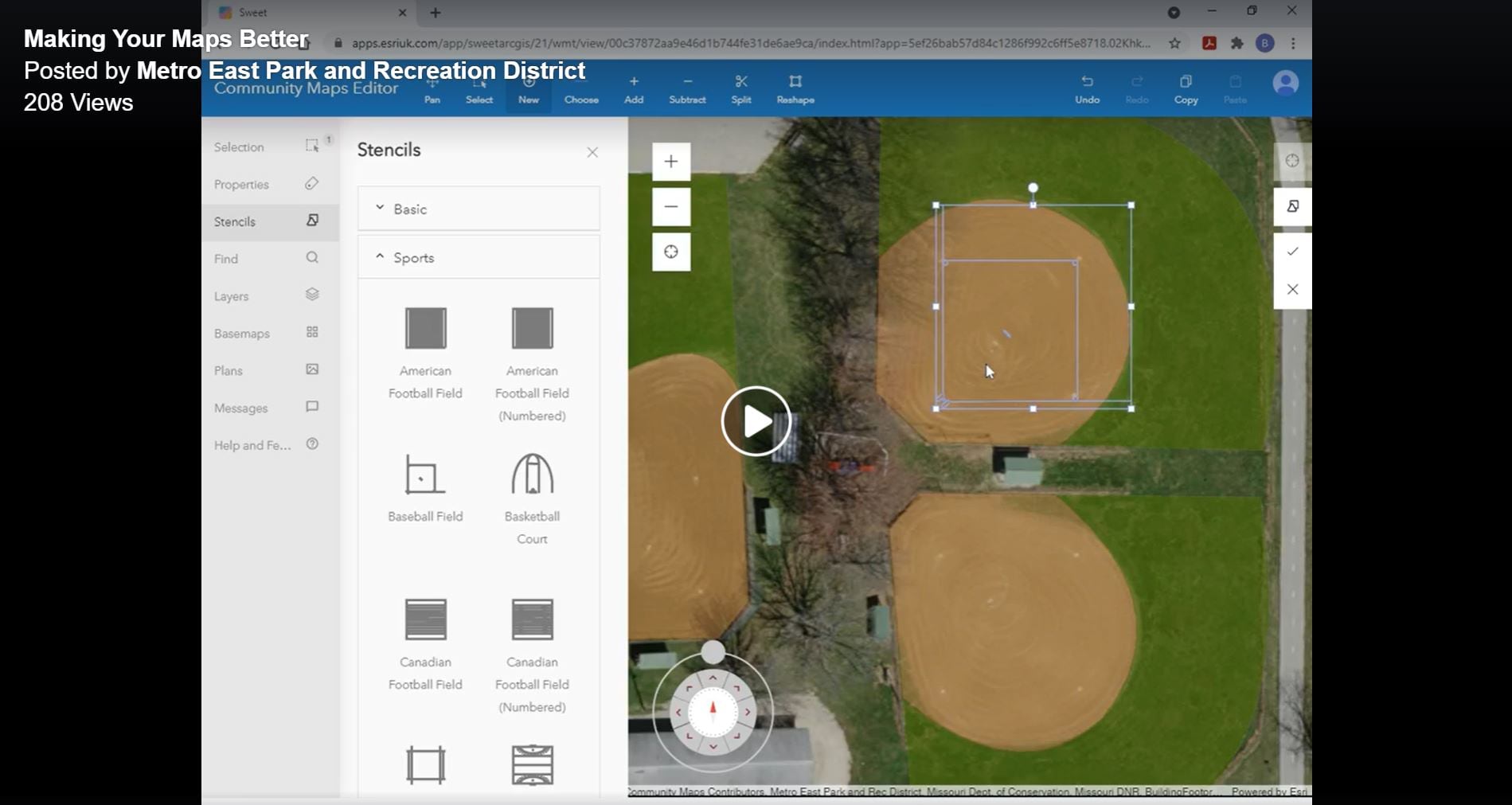
Making Your Maps Better
Adding more park and trail detail today in order to bring you better park and trail maps in the future!
Not only does MEPRD leverage useful parts of the ArcGIS like storytelling and content sharing capabilities, they also embrace new tools and emerging technology that enable them to satisfy their mission as a recreation district. For example, MEPRD uses the Community Editor App to add map detail to the parks and recreational facilities throughout the district.
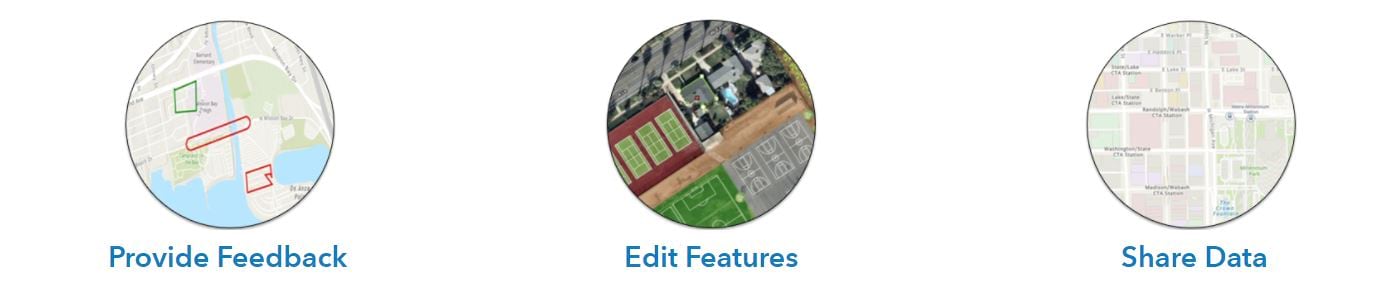
Our organization recognizes the value and importance of good maps! As demonstrated within our ArcGIS public content, we are always tweaking our maps, apps, and storymaps as new features and technologies evolve.
To learn more about the Metro East Park and Recreation District (MEPRD) and the maps, apps, and storymaps they value, visit MEPRD’s homepage and map gallery.

Esri’s Community Maps Program not only develops a suite of authoritative maps, it also brings communities together, builds relationships and promotes collaborative projects that serve everyone.


Article Discussion: