At each release we strive to improve and enhance 3D functionality. This blog highlights some improvements to scene layers as well as 3D scenes.
Weather
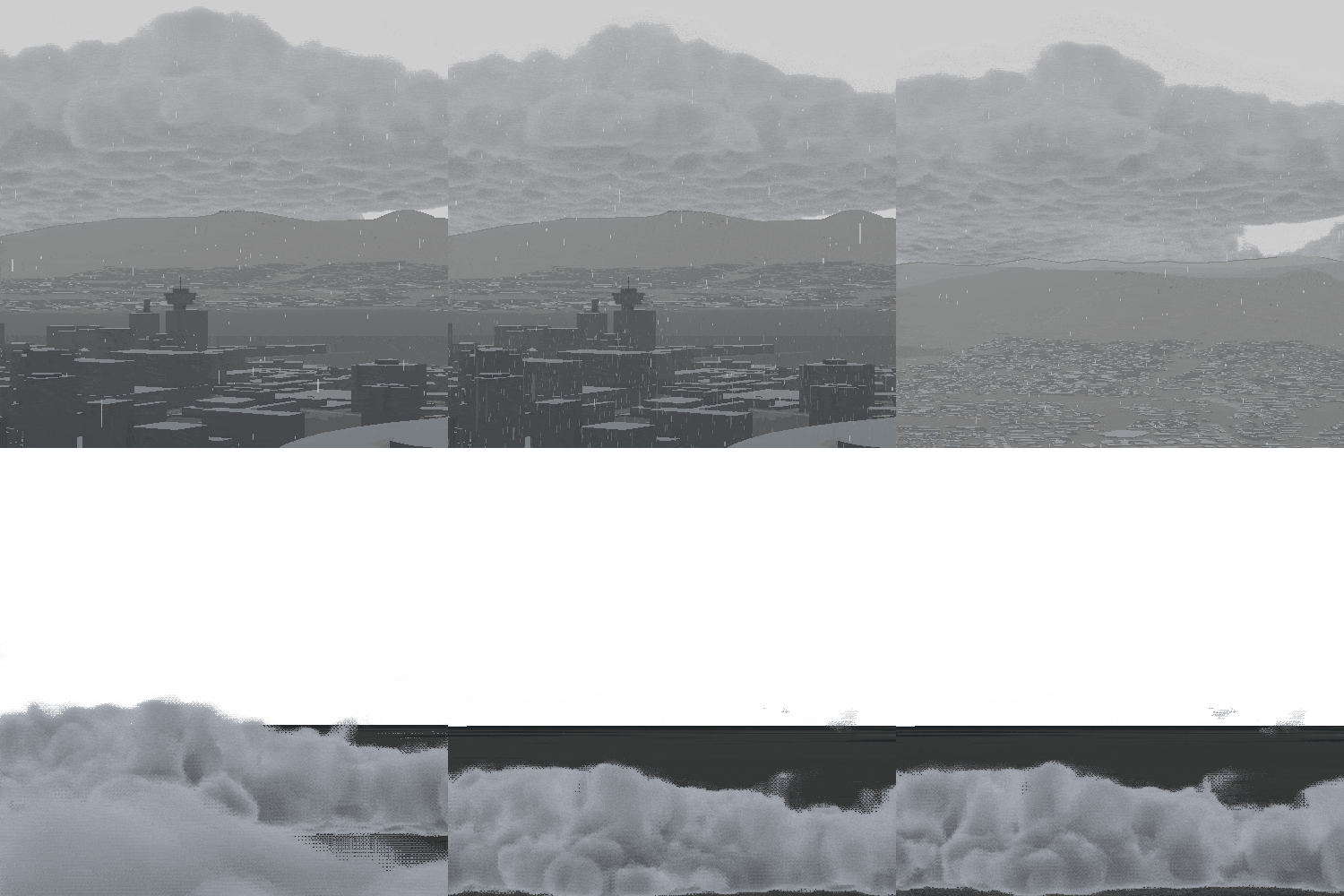
We’ve made significant enhancements to the weather effects introduced in the last release. Now, weather effects are supported in both local and global scenes. Cloud weather effects are rendered directly in the scene, allowing you to fly through the clouds and experience realistic effects. You can control these effects in more detail using properties like cloud movement, base heights, and direction.

Shadows
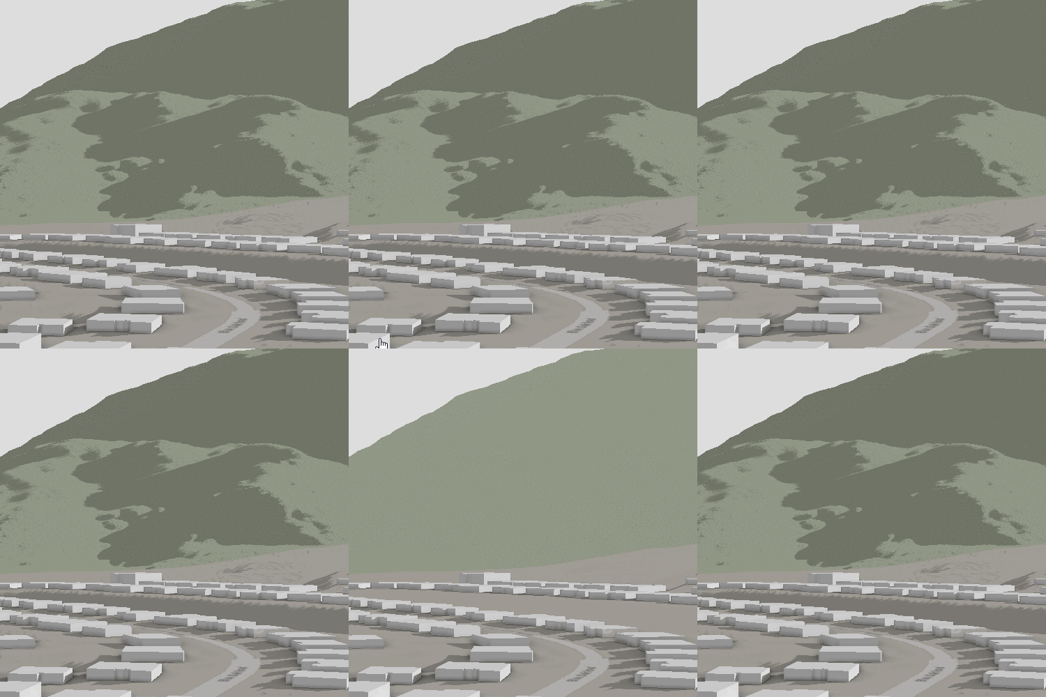
Have you ever enabled shadows for your 3D scene and thought about disabling the shadows for one or a handful of layers? At the ArcGIS Pro 3.5 release, support has been added for enabling and disabling shadows per layer.

Once you enable shadows in the scene properties you can find the new cast shadows button on each 3D layers contextual tab. Additionally, you can find the option on the Ground or Custom Surface layer to control shadow casting from the surface to itself or other surfaces.

Generate Level of Detail
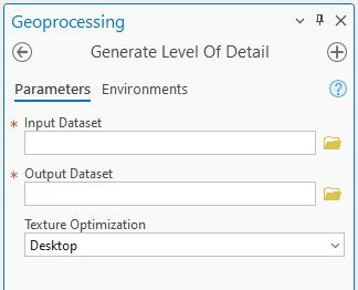
The Generate Level of Detail tool now supports all integrated mesh scene layer packages. Previously, this tool was mainly used for third-party created scene layer packages with a single level of detail, typically output from FME or Data Interoperability tools. Now, if you have a third-party generated scene layer package with poorly formed levels of detail, you can use this tool to generate new levels of detail, enhancing both performance and quality.

3D Basemap default settings
Esri has been offering 3D basemaps through the basemap dialog for several releases. These 3D basemap layers, sourced from OpenStreetMap and soon to include Overture, feature buildings, trees, places, and labels. With this release, ArcGIS Pro will now respect an organization setting. By enabling this setting in ArcGIS Online or ArcGIS Enterprise, these layers will automatically appear by default when you add a new local or global scene.
CAD support
The Create 3D Object Scene Layer Content tool now supports multipatch feature layers generated from CAD DWG or DGN files.
Article Discussion: