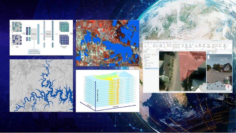
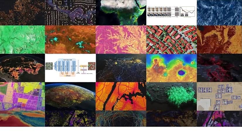
Take advantage of powerful GeoAI capabilities in the ArcGIS Pro 3.5 Image Analyst extension. With this release, you can now do the following:
- Explain object classification results better
- Assess pixel classification accuracy
- Monitor the model training process using TensorBoard
- Utilize a new object detection model type
Discover how our latest features will streamline your workflows and boost your productivity.
Explainable AI: Understanding object classification models with Grad-CAM
We’ve added support for Gradient-weighted Class Activation Mapping (Grad-CAM) for the object classification deep learning workflows. This technique calculates the gradient of the most dominant logit with respect to the latest activation map, highlighting the most influential pixels in the image classification. When Grad-CAM support is enabled in the model definition, each feature in the output feature class now includes an attachment showing these influential pixels. This allows users to gain a better understanding of how the model makes decisions.

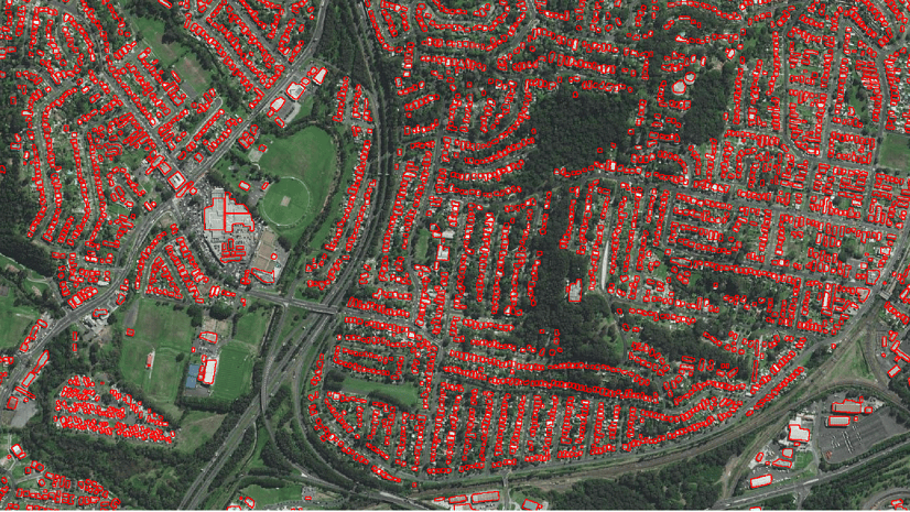
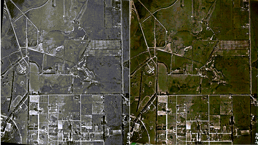
Compute Accuracy For Pixel Classification
The new Compute Accuracy For Pixel Classification tool evaluates the accuracy of pixel classification results from the Classify Pixels Using Deep Learning tool. It computes a confusion matrix based on omission and commission errors, and the Intersection over Union (IoU) score by comparing the output of the Classify Pixels Using Deep Learning tool with ground truth data.
TensorBoard integration in the Train Deep Learning Tool and Training Wizard
The Train Deep Learning tool and the Training wizard on the Imagery tab now include TensorBoard integration. This integration enables you to monitor the model training process. Selecting the ‘Enable TensorBoard’ option displays a TensorBoard dashboard, offering a visual representation of training logs. TensorBoard is a toolkit for visualizing training progress, displaying logs as graphs, images, histograms, and other data. This feature supports various models such as CycleGAN, DeepLab, and more. For additional details and the complete list of supported models, refer to What is TensorBoard?

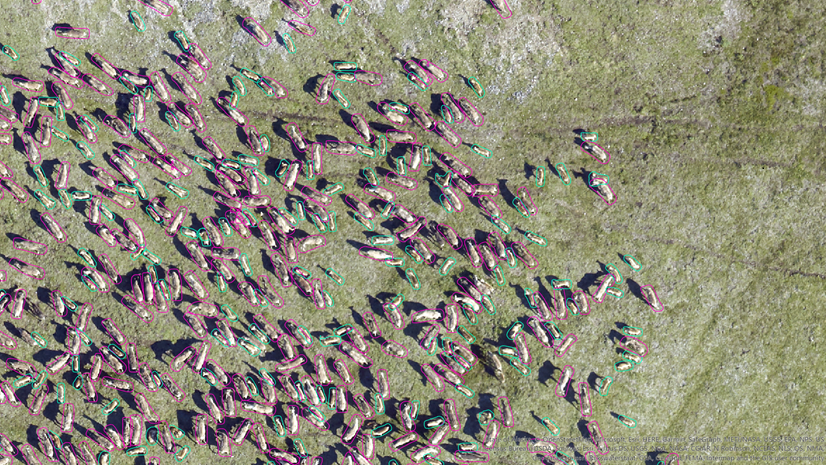
New RTDetrV2 object detection model type
ArcGIS Pro 3.5 introduces the RTDetrV2 model architecture for object detection. RTDETRV2 is built upon the architecture of RT-DETR, which is an object detection model that stands for “Real-Time DEtection Transformer.” This model is designed to perform object detection tasks with a focus on achieving real-time performance while maintaining high accuracy. RTDetrV2 provides selective multi-scale feature extraction in the decoder, and an optional discrete sampling operator, which makes the model easier to deploy on various hardware by removing certain technical limitations without sacrificing detection accuracy.
Wrap-up
These updates for GeoAI in the ArcGIS Pro 3.5 Image Analyst extension now provide you with new and enhanced tools for better understanding and control of your deep learning workflows. We hope these features will contribute to more effective and informative image analysis.

Article Discussion: