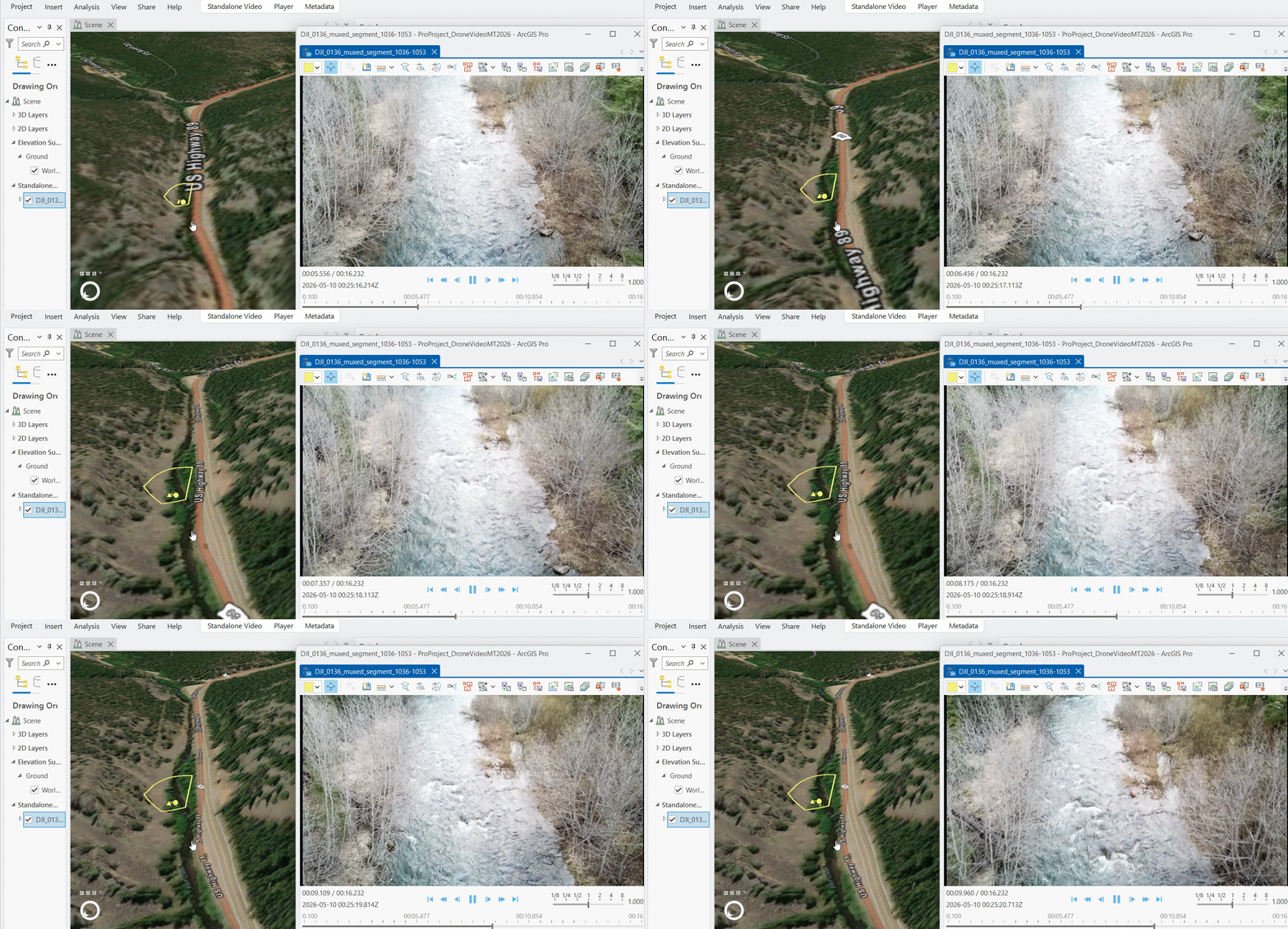
Do you have video that you’d like to use in ArcGIS? It may have been captured by a professional aerial video system, or more commonly from a modern drone – or you might even have mobile video from a dashcam, or a 360 degree action camera. As the options for capturing video with geospatial metadata continue to expand, the ArcGIS System is adding more methods to work with video as a data type.
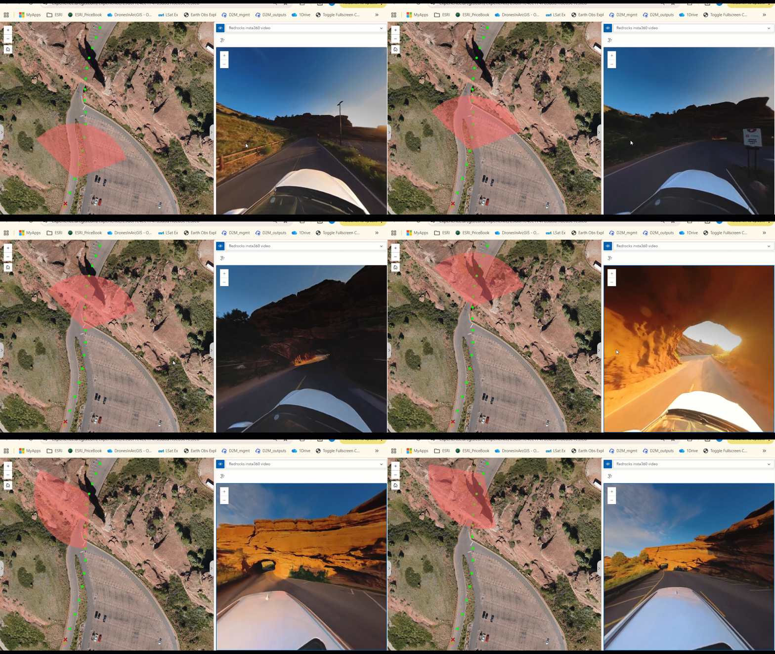
As long as your video has metadata regarding the camera location and orientation, it is likely that you can use it in the context of your GIS. Pro Tip: The ArcGIS Flight app will capture the required metadata for supported drones!!
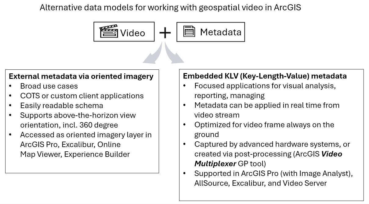
Refer to this recent blog on the Esri Community https://esriurl.com/GeoVideo for an overview of geospatial video metadata, and the options for working with video in a variety of ArcGIS client apps.
Article Discussion: