Ah, the lovely ghostly ethereal beauty of a Digital Elevation Model (hereafter referred to colloquially as a DEM). I just love em. They are so versatile, laden with potential. One time I cobbled together a hack of a DEM using the Vector Field symbology option in ArcGIS Pro to make fantasy map styled mountains. Then Craig Williams wondered if you could use the same technique to make a minimalist dot-matrix-like hillshade effect. Why not?
Let’s give this a Pro, I mean a go…
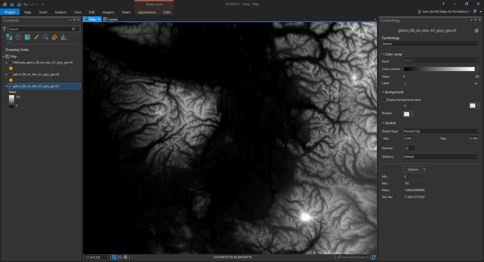
Here is a trusty ol DEM, stretched along a default black to white color ramp.
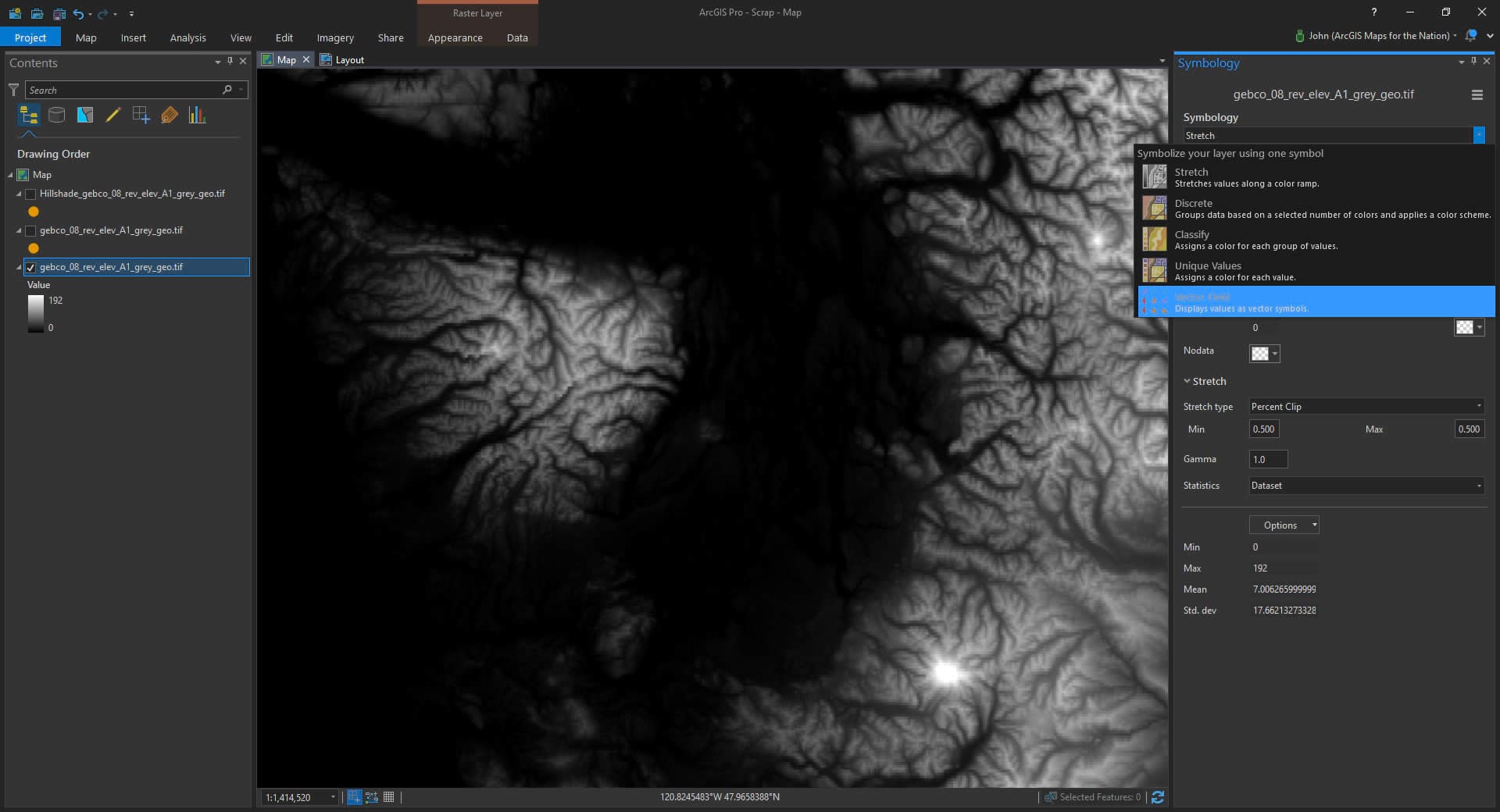
But if you expand the symbology dropdown you see a mysterious little option there called Vector Field. Actual cartographers use that to make wind and current maps, but where’s the fun in using tools the way they were intended?
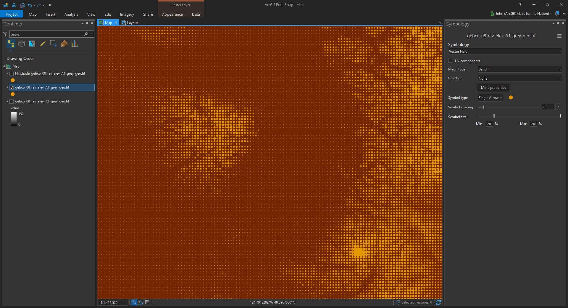
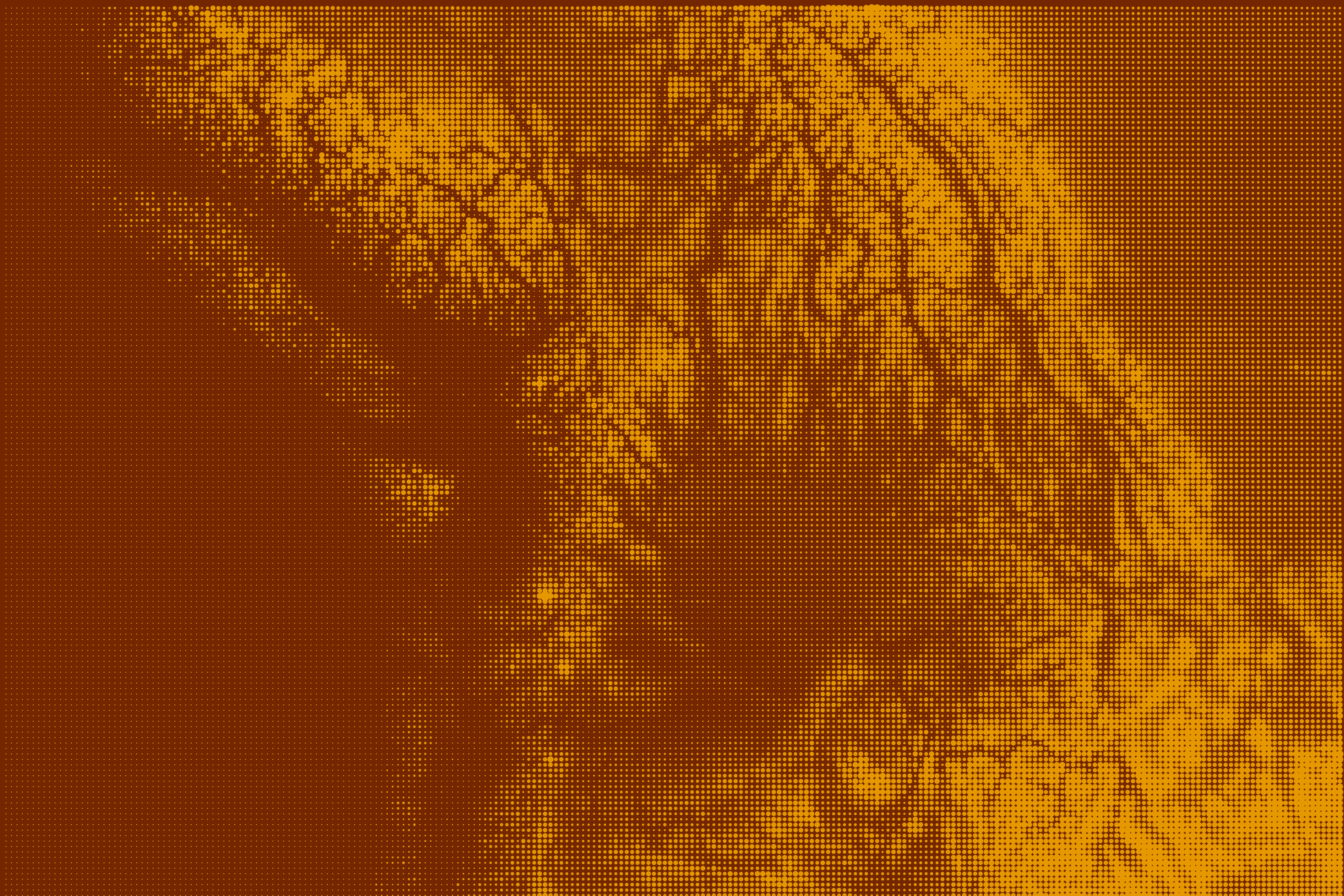
Wham! a cool little dot-matrix-looking thing of elevation. Just play with the symbols to get it the way you like.
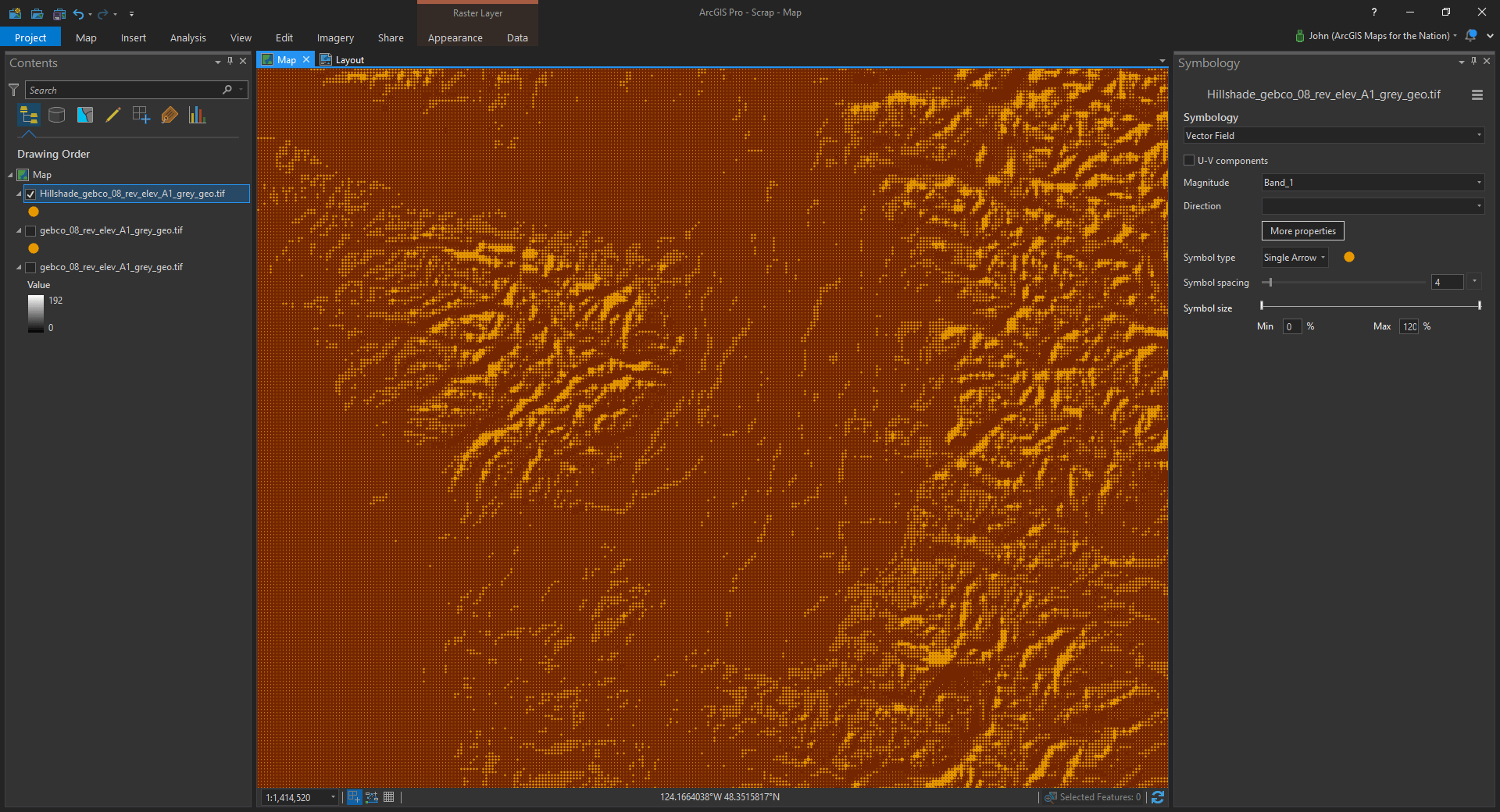
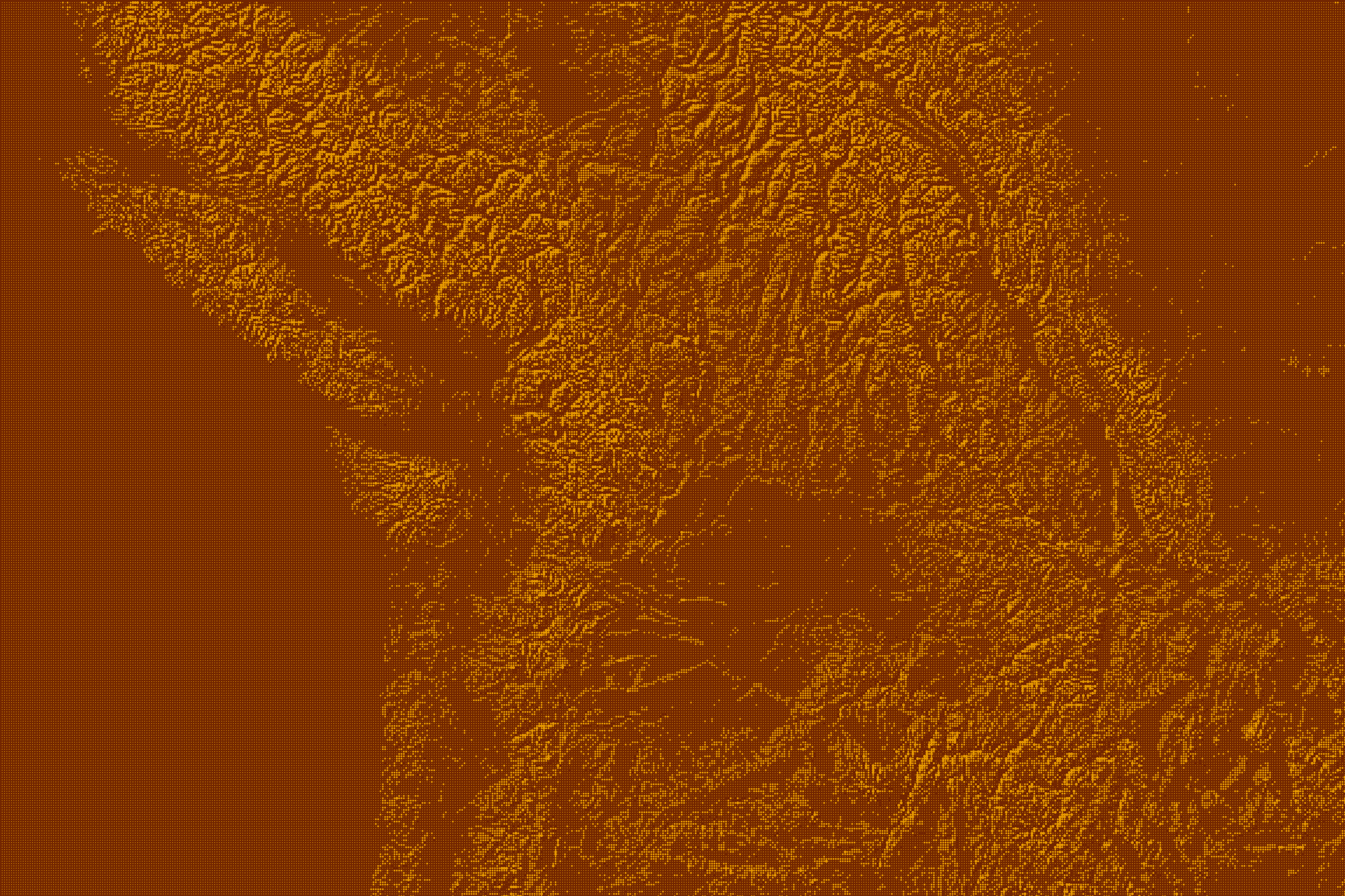
It might be a handy, stylized, graphical background for your map. So what about the original goal, which was to make a hillshade version of this? No problem, just open up the Raster Functions and apply a hillshade to your DEM. The vector field symbology works on the derived hillshade image, too…
Crinkle-tastic, right?
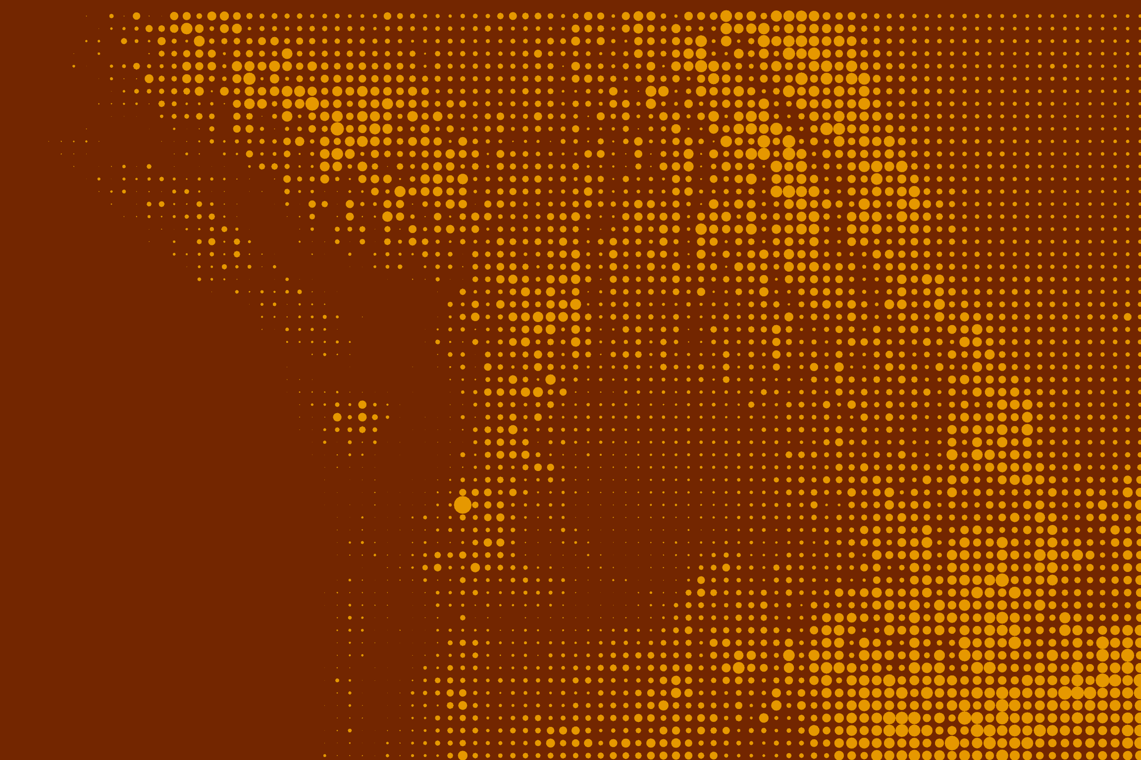
Play with the symbol spacing and symbol size range to get the look you want. Here’s a pretty detailed dot matrix elevation…
And here it is with a sparser, minimalist, symbol density…
Here’s a closer look at the dot matrix hillshade…
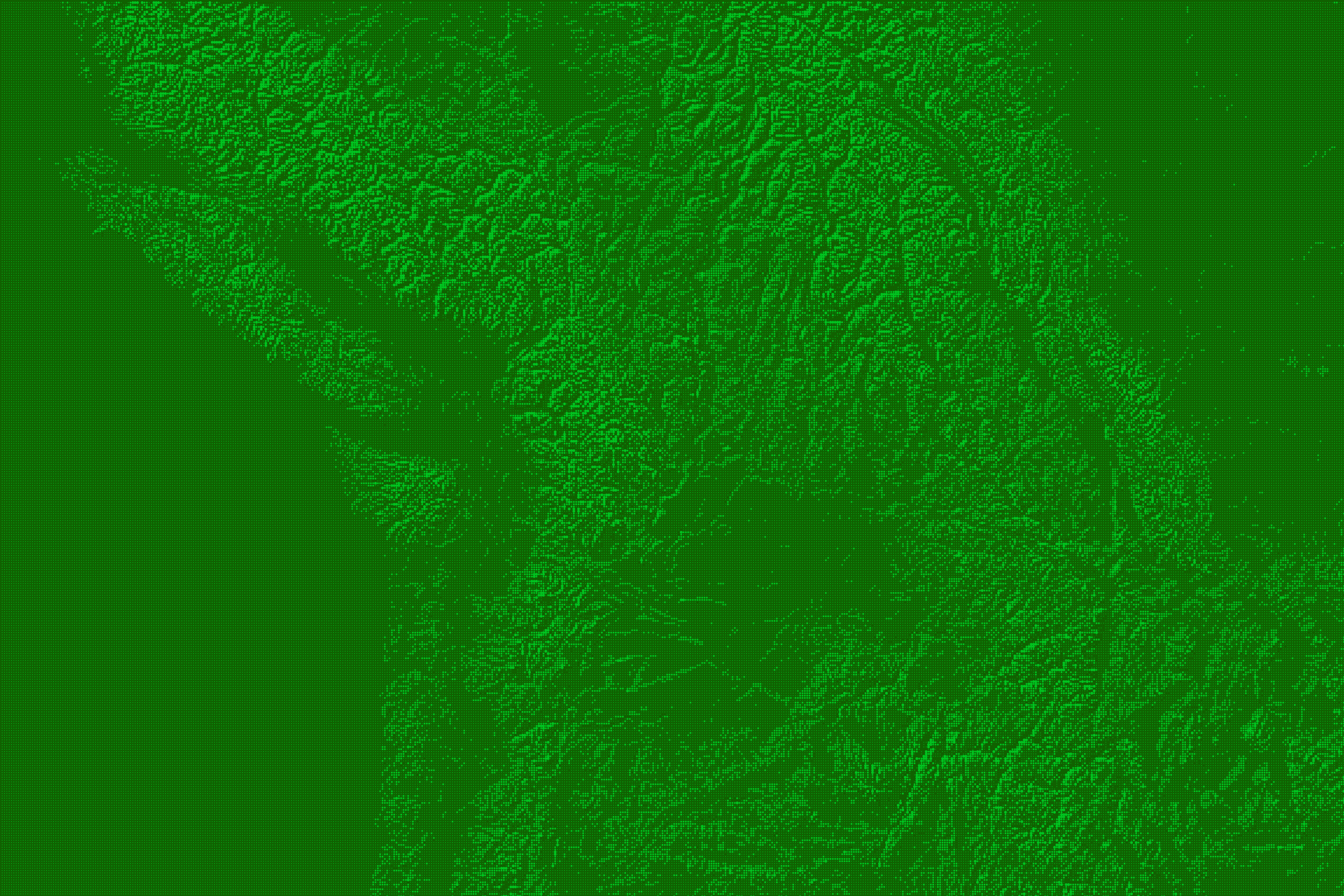
And here is a version of the dot matrix hillshade that is about to die of dysentery…
Hang on a second, all this talk of “dot matrix” and no actual ascii art dot matrix map? Ok, just toss in a background image and make your symbols printer fonts…
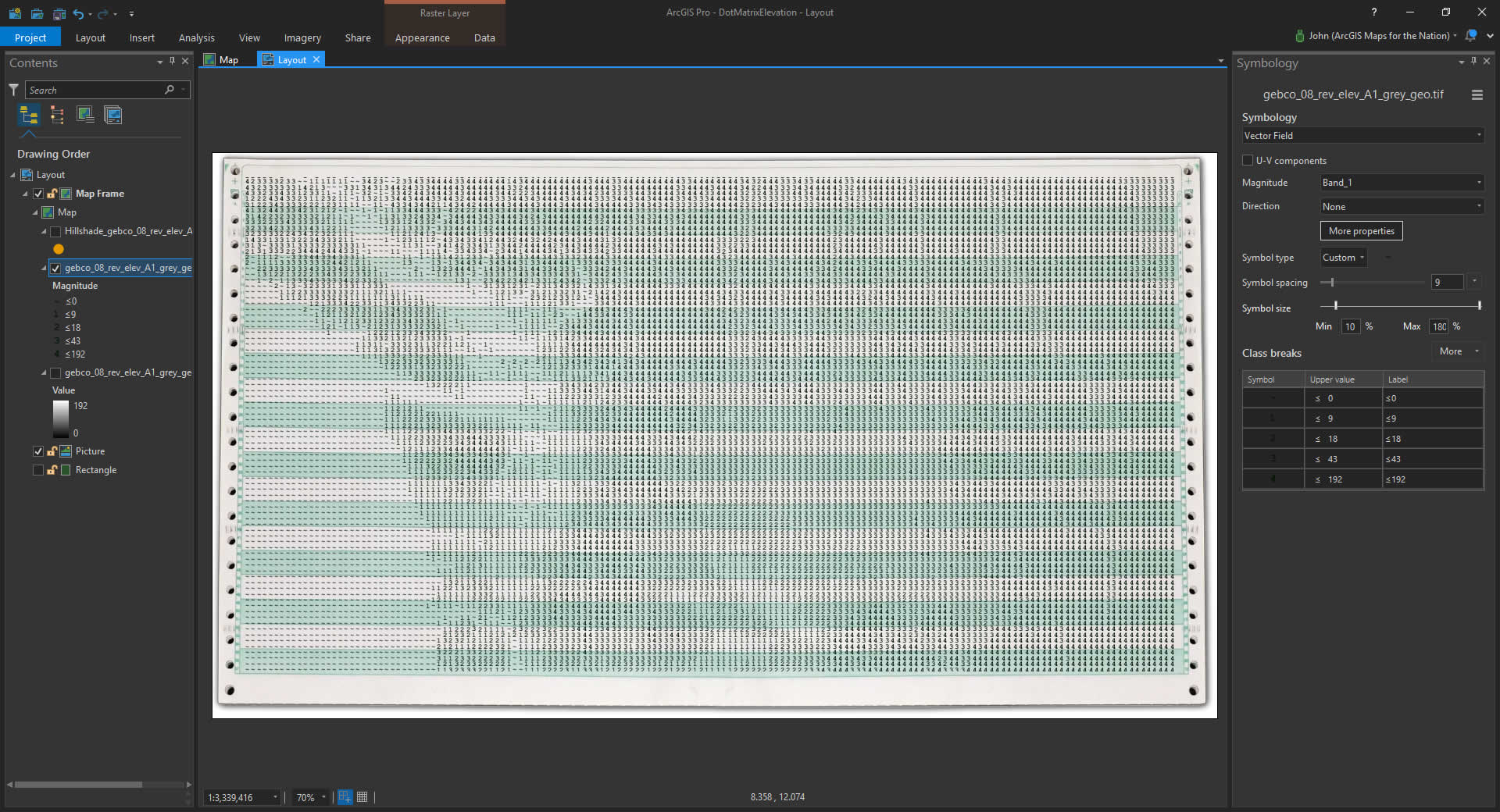
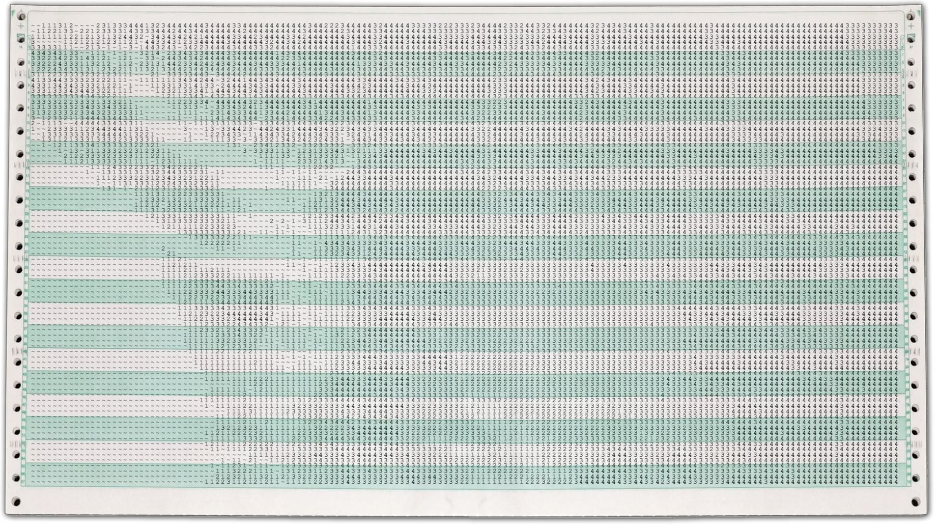
Which, when ripped off the spools with gusto, looks like this…
Happy Dot Matrix Elevation Mapping! John Nelson


Commenting is not enabled for this article.