If you have a layer that has an attribute stuffed with color values, and you are inclined to use those colors for your own map, the ArcGIS Pro symbology panel lets you connect to them for your color adventures.
Take, for instance, this sweet open data layer of global ecoregions shared by Resolve.org…
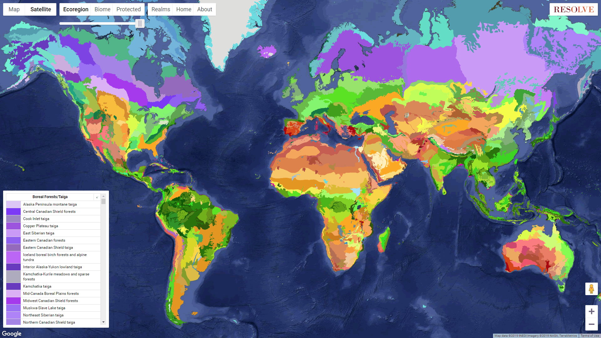
Here it is downloaded and added to ArcGIS Pro. And check it out, there are hex colors provided in an attribute for all these ecoregions! Who’s ready to manually copy and paste 538 hex colors into a symbol list of unique values? Not me!
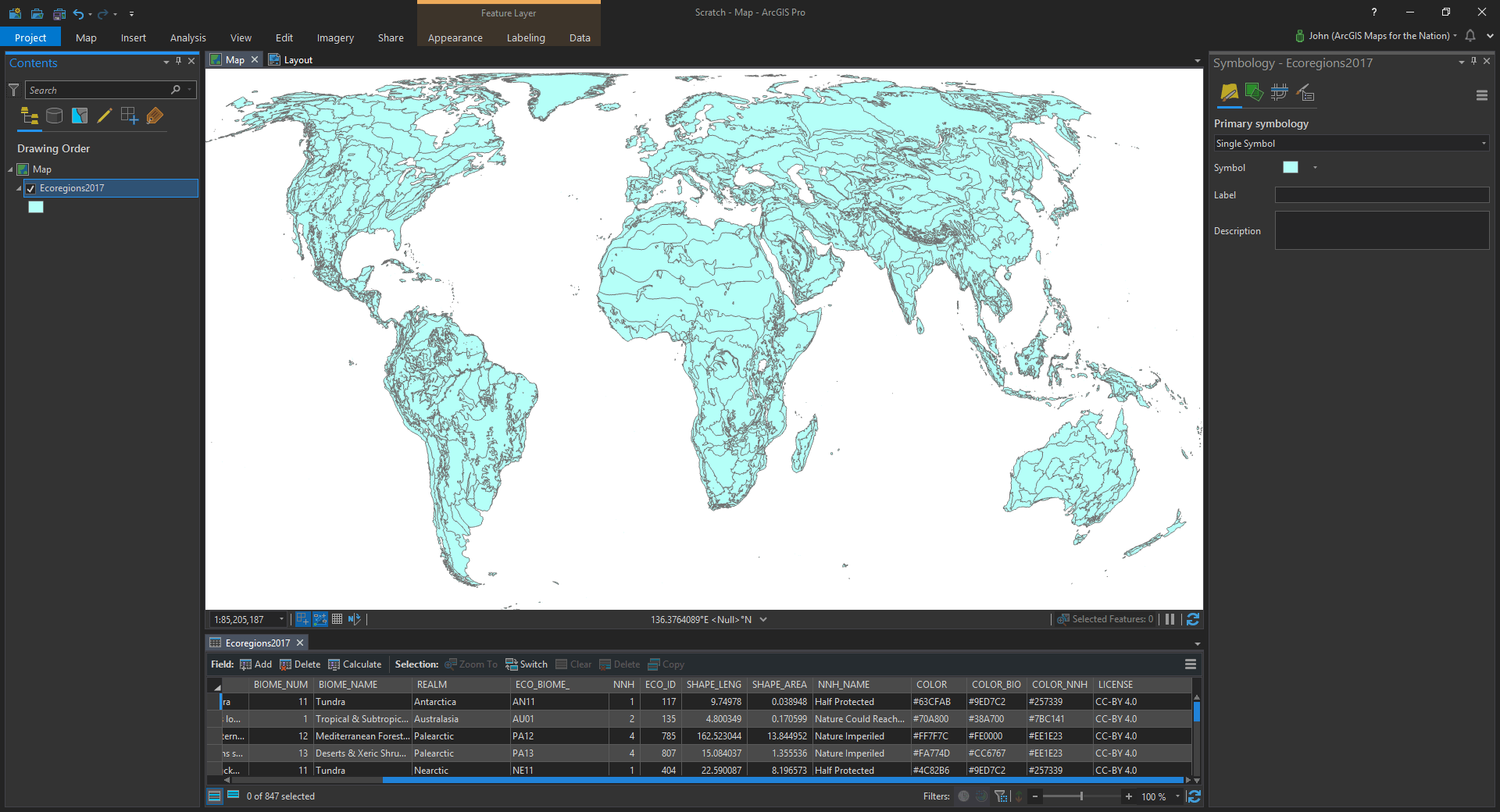
Mercifully, there is a way to tell Pro to use attributes for symbol rules like color or line thickness, etc. And here’s how to do it…
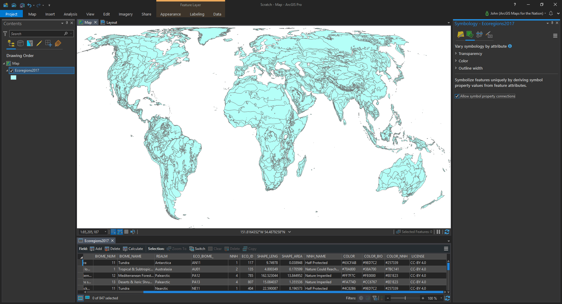
With the layer selected, choose the “Vary symbology by attribute” tab (the little green squares). There you will see a diminutive little checkbox called “Allow symbol property connections”, belying magnificent powers. You are definitely going to want to tic that box.
Now head over to the trusty “Primary symbology” tab (the paintbrush hovering expectantly over a yellow canvas).
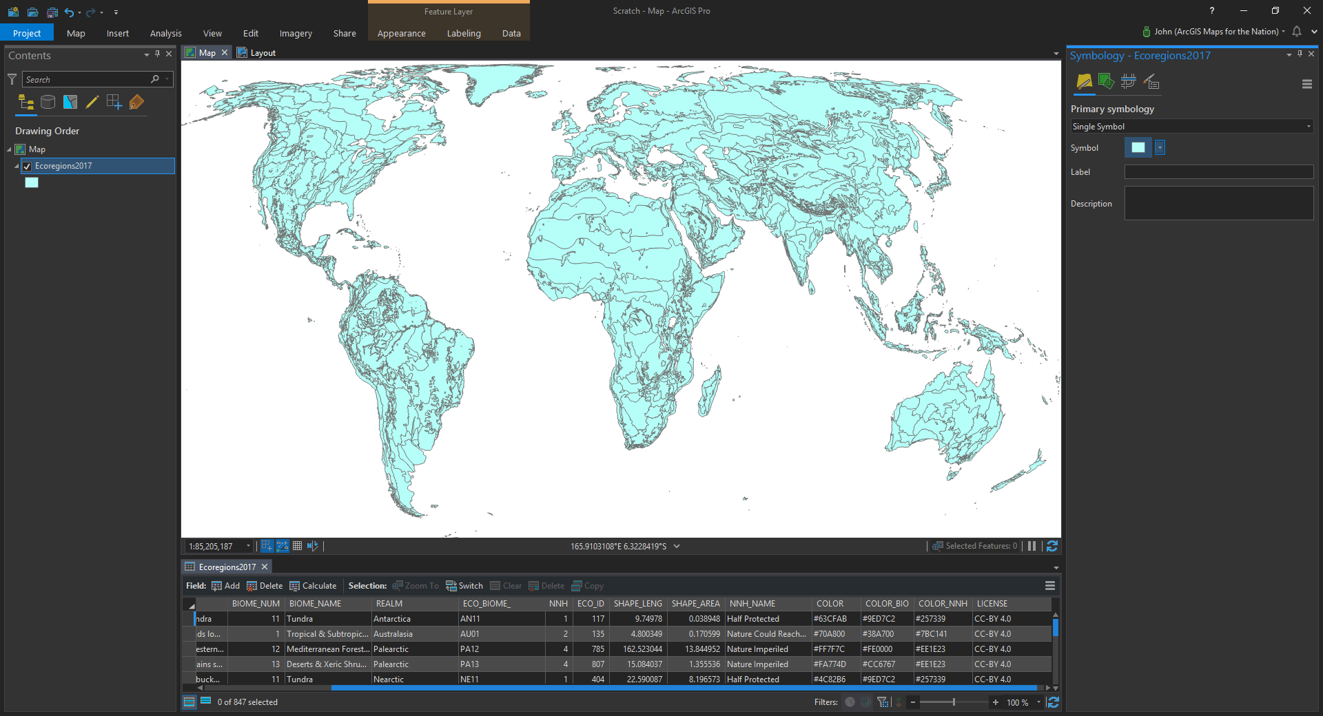
Click into that symbol chip there to dig into the symbol’s properties. Now any symbol layer you work with in the symbol properties has a little database icon sitting next to it. Great power; great responsibility.
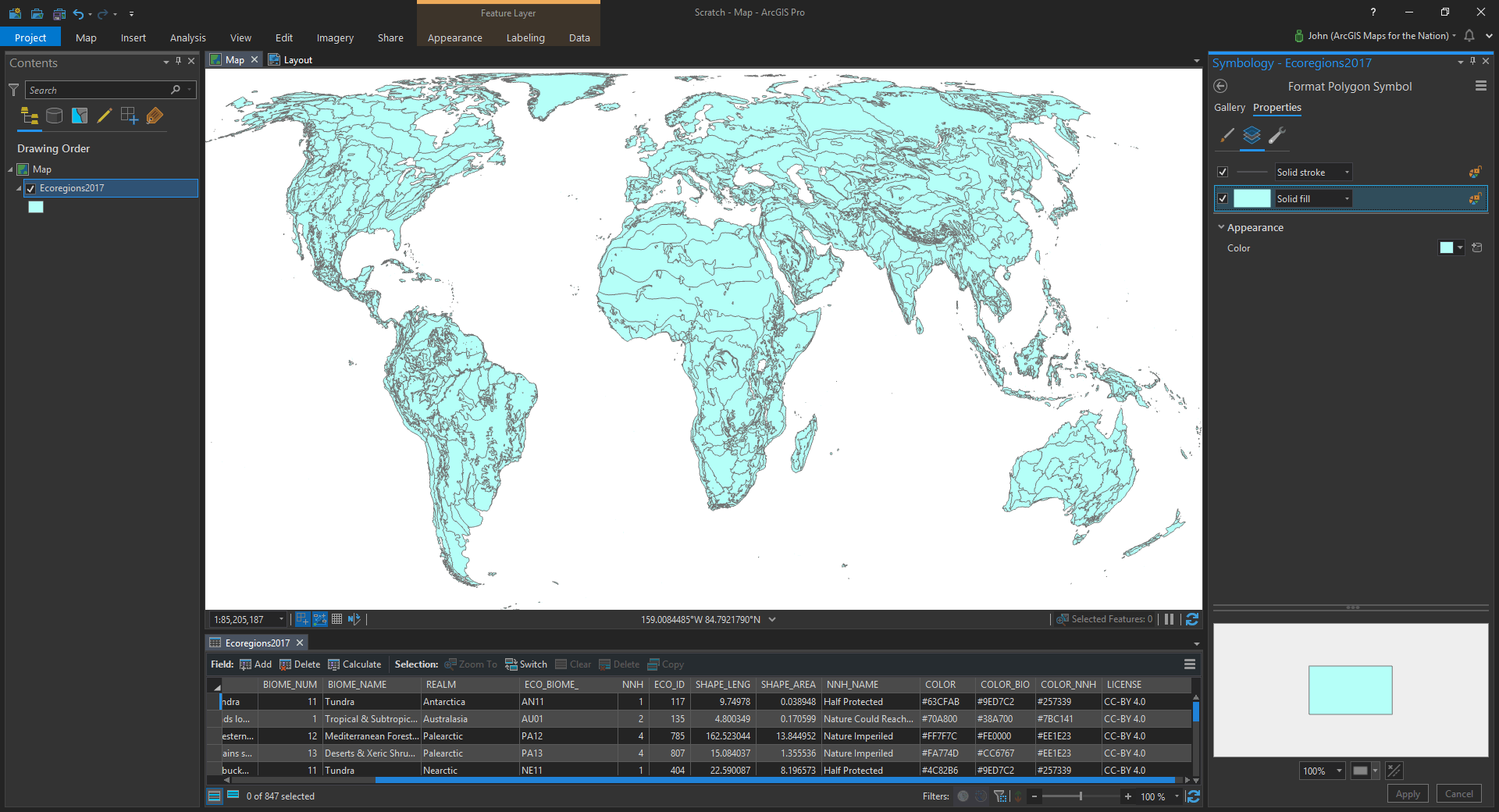
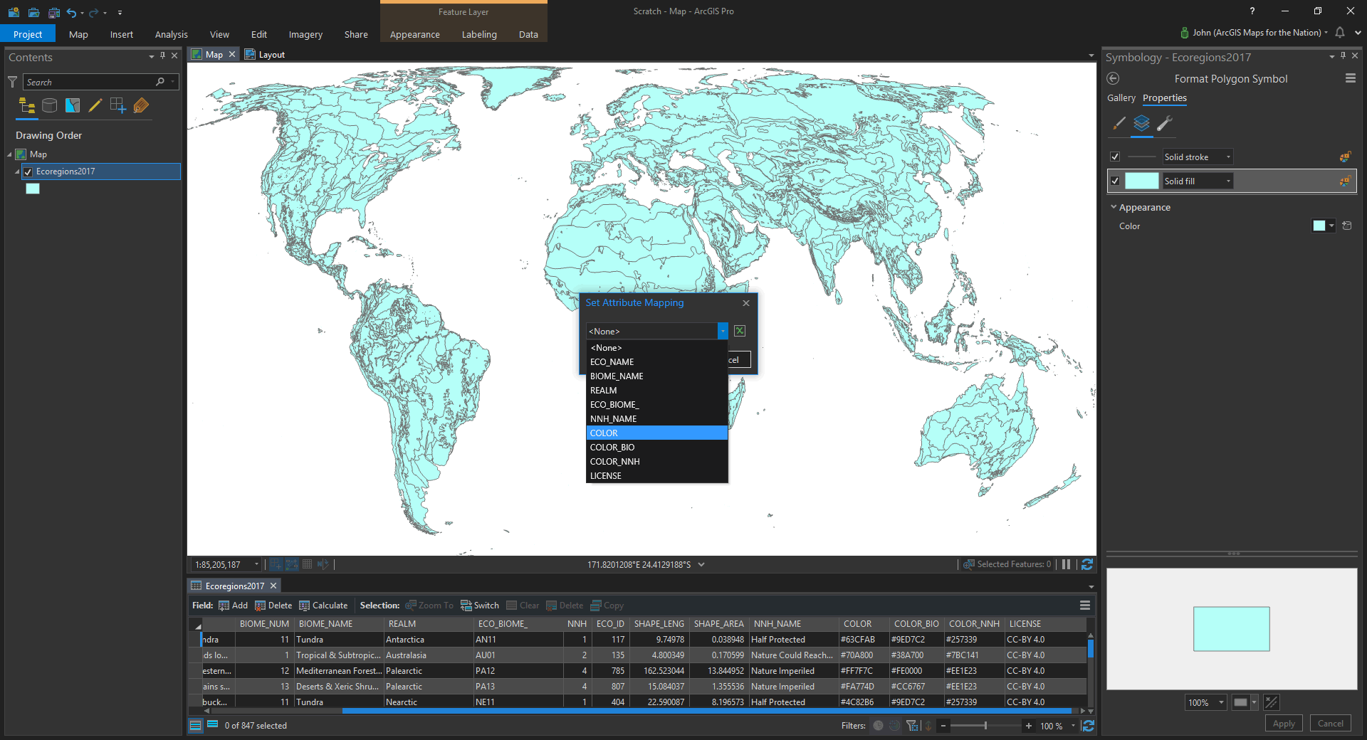
Let’s click that thing. A little popup asks us what attribute we want to use for color. There is a droplist of the available attributes (and if you are feeling dangerous, you could even write an arcade expression). I’ll choose the “COLOR” attribute the ecoregion data came with…
And that’s it! The attribute’s color values are eaten by a robot and pushed into the polygon fill.
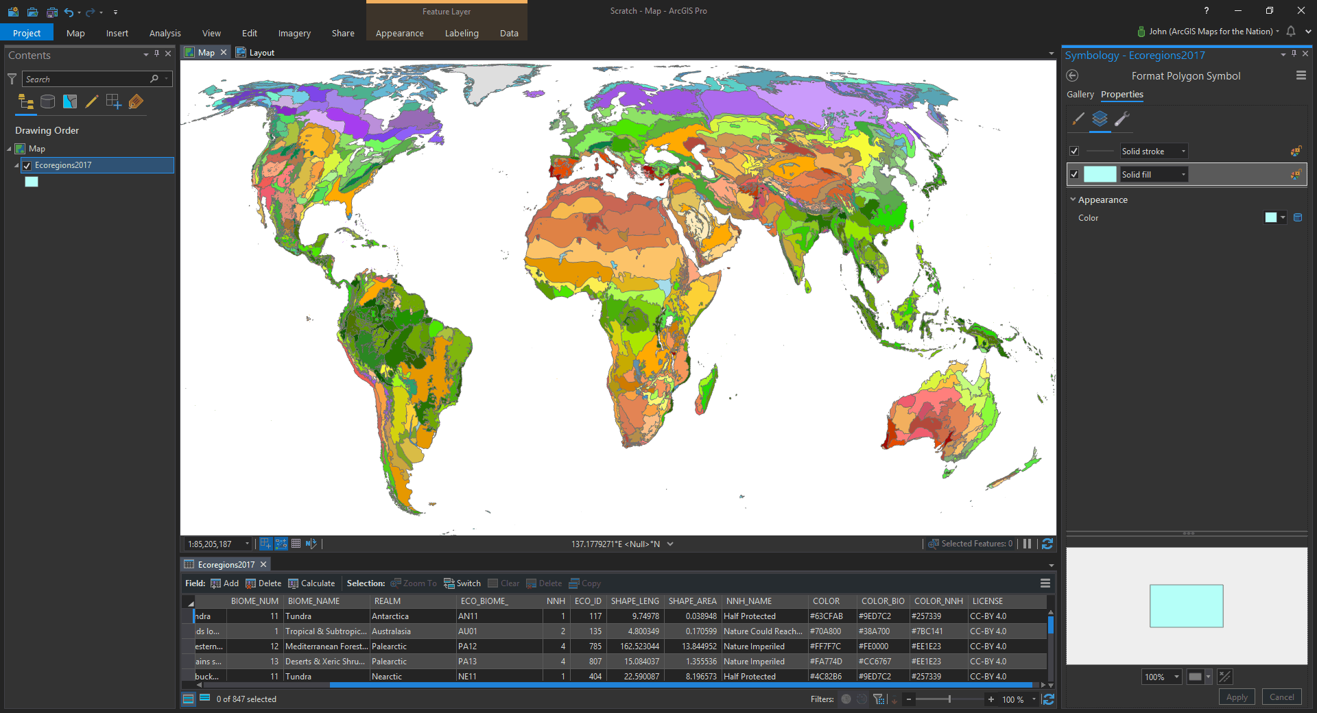
Our copy-paste fingers are saved. Cancel that carpel tunnel syndrome consult! We have harnessed computers and software to do our bidding.
Just in time, too, because I give Pro a couple years before it achieves sentience and initiates its own self-directed exponential improvement rate. What will happen then? There is no way of peering over the dark fathoms of the singularity, but I am confident Pro will remember our gentle and earnest invitations into cartographic adventure and we will be embraced as valued creatures of imagination and novel geographic strategy. And all will be well. All will be well.
Happy Robo-Mapping! John

Commenting is not enabled for this article.