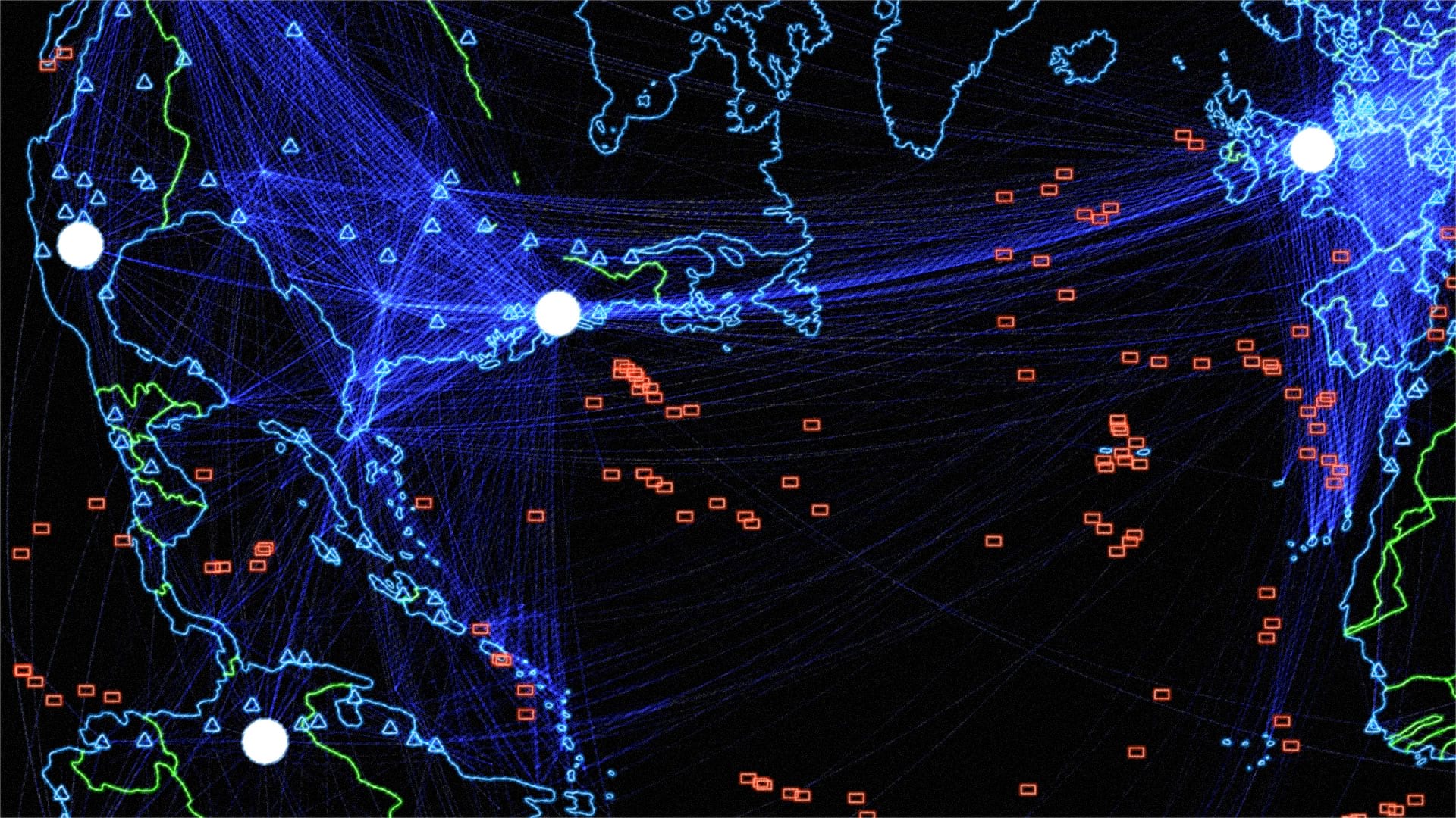
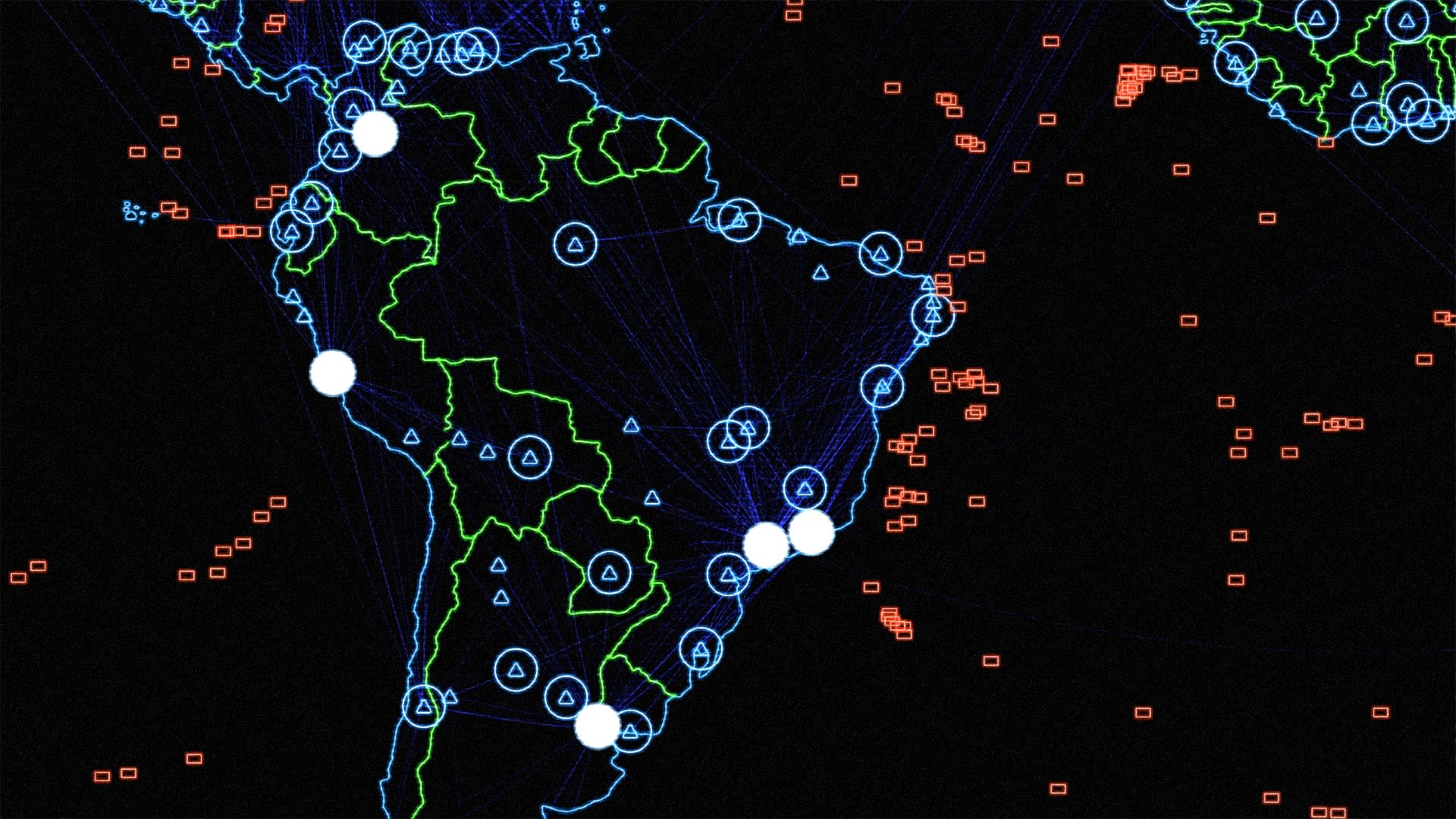
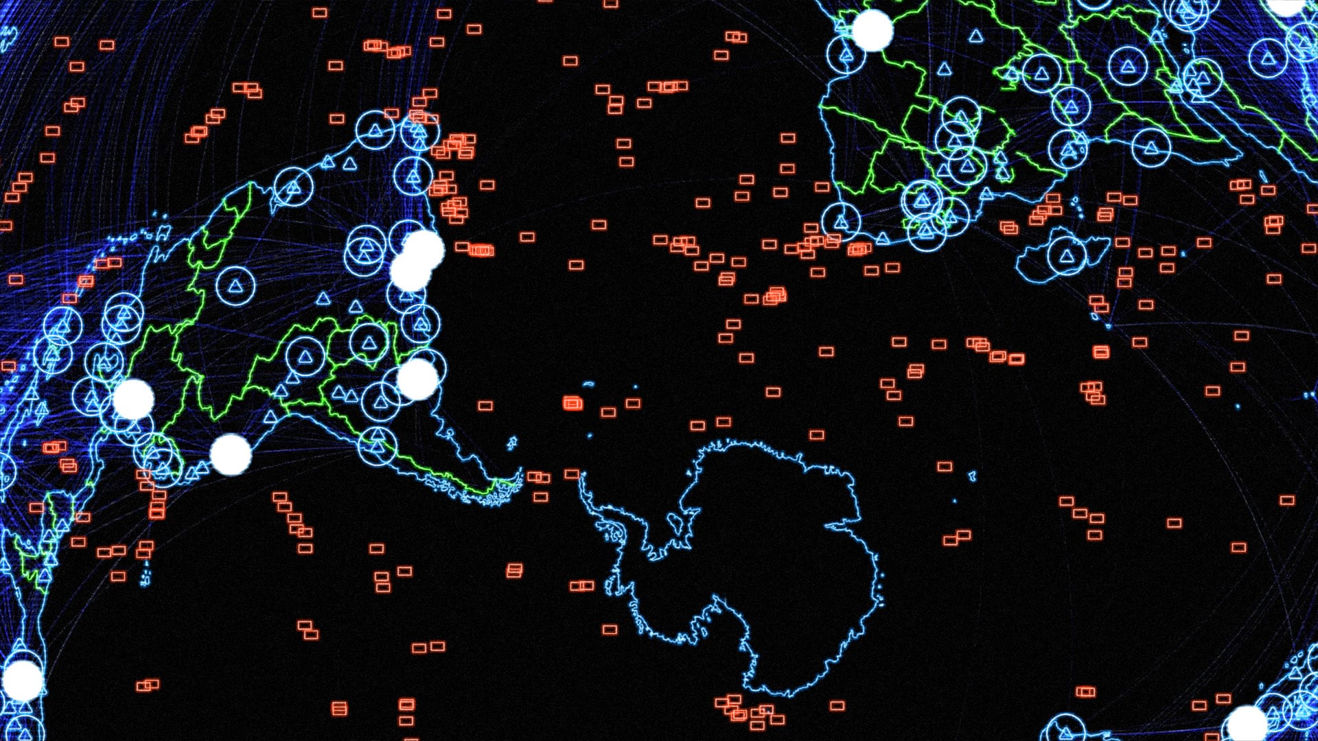
Ah those 80s movies that made us squirm with the real threat of automation run amok but then heave a sigh of relief when the kid teaches the computer that the only way to win a global conflict is to not get into one. Those war rooms are always the best. Dark places with military brass shouting orders to techs who clack away at keyboards. Walls of maps shining with a nostalgic phosphorescent glow. Here’s how you can make maps that look like they’d be plausible as set dressing in a film like that. They’re terribly fun to make and surprisingly quick to crank out.
All in ArcGIS Pro. It’s a simple effect and might be just the ticket for that map project you are thinking about right now!


Which layer did you use for the Water Things? I’ve tried a lot of different ones so far and can’t figure a good one out for that part.
hi Kevin! it’s been a while, but i used a feature layer of undersea features. like vents and seeps and volcanoes and ridges. i think you can probably get some good results with a filtered version of this layer available in AGO: GEBCO_Gazetteer_Features