November 12, 2021 | Andrew Johnson | 3D Visualization & Analytics What’s new with Scene Layers (ArcGIS Pro 2.9)
November 12, 2021 | Fizza Chaudhry | Announcements What’s New in ArcGIS Business Analyst Pro | November 2021
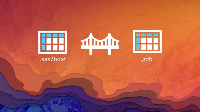
November 11, 2021 | Diana Muresan | Data Management ArcMap Equivalency: Disconnected Editing is now in ArcGIS Pro 2.9
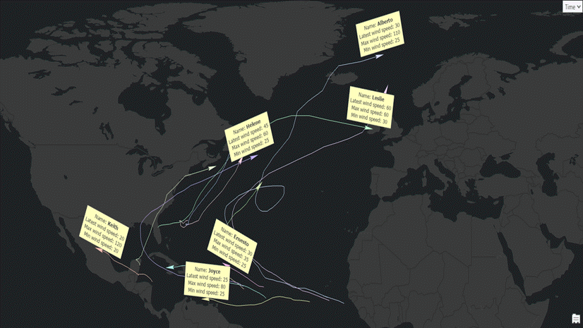
November 10, 2021 | Tanu Hoque | Mapping Generate trajectories/paths for hurricanes on the fly from their point locations
November 10, 2021 | Jon DeRose | Announcements What’s New for ArcGIS Utility Network in ArcGIS Pro 2.9 and Enterprise 10.9.1
November 9, 2021 | Multiple Authors | Imagery & Remote Sensing What’s new in the ArcGIS Image Analyst Extension (ArcGIS Pro 2.9)
November 7, 2021 | Tanu Hoque | Announcements Make Aggregation Query Layer – a new geoprocessing tool to compute and view dynamic summary statistics from related records
November 4, 2021 | Diana Muresan | Data Management New Controller Datasets Supported in the Mobile Geodatabase
November 2, 2021 | Multiple Authors | Transportation How to choose between linear referencing and location referencing
October 28, 2021 | Multiple Authors | Analytics Looking to the future: Using GIS to model and predict population
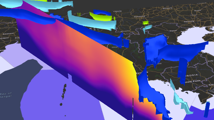
October 13, 2021 | Hong Xu | Imagery & Remote Sensing Principal component analysis of multidimensional raster in ArcGIS
October 12, 2021 | Steven P. Santovasi, GISP | Architecture, Engineering, and Construction What’s new for BIM and CAD in ArcGIS (October 2021)