If your organization is a member of the Waze for Cities program, you may be familiar with the Waze Live Alerts Layer available through the ArcGIS Marketplace. That layer has served as a quick and easy way to use crowd-sourced Waze alerts — accidents, road hazards, traffic jams — directly in your ArcGIS maps and apps. It has been a useful starting point for ArcGIS users but has a series of meaningful constraints that needed to be addressed before the layer is retired in December 2026.
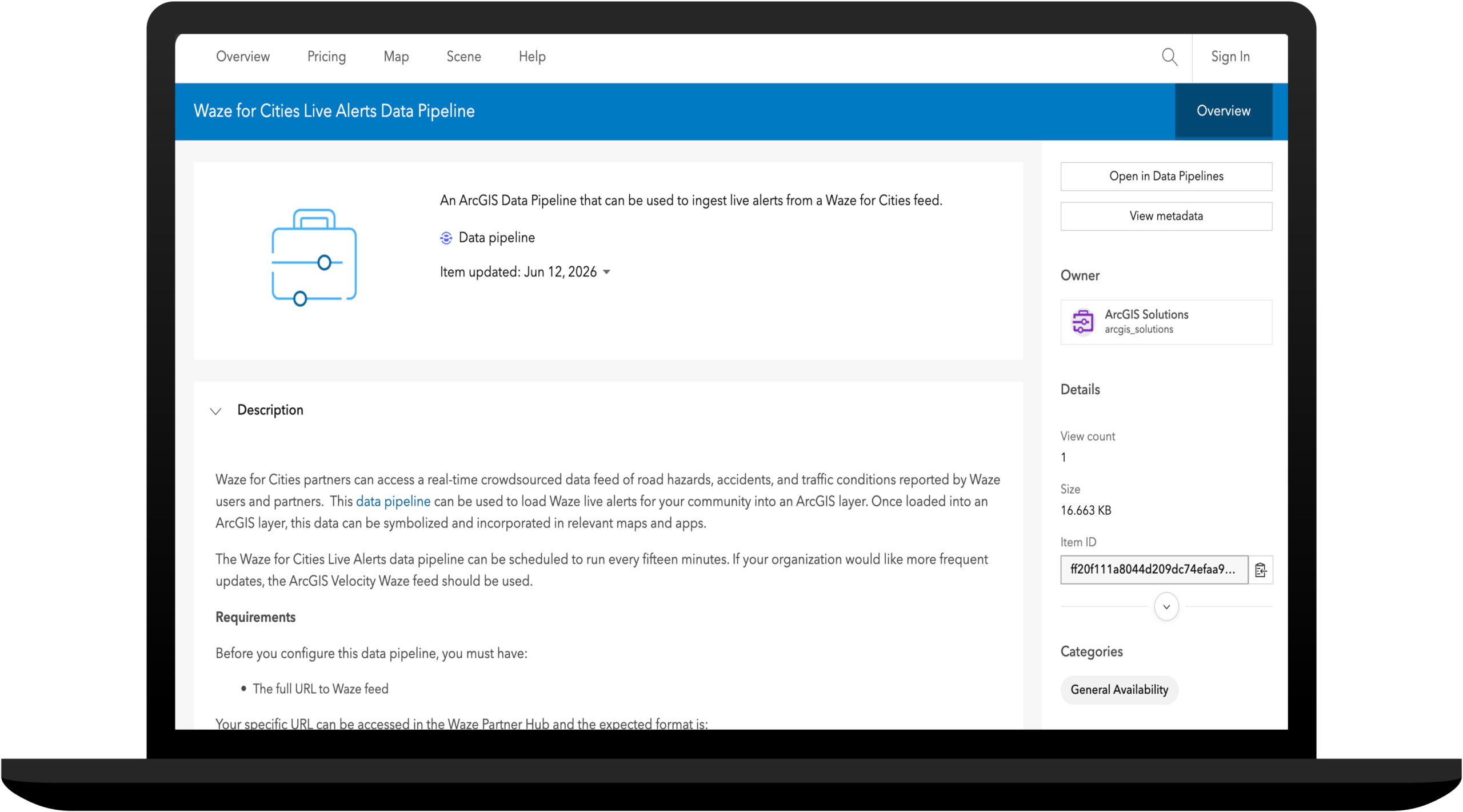
To address those limitations and give organizations greater control over their Waze Live Alerts feed, Esri has developed a new Waze for Cities Live Alerts Data Pipeline. This data pipeline can be used to load Waze live alerts into an ArcGIS layer for your community and will replace the current Marketplace layer.
What’s different
The Waze Live Alerts Marketplace layer is a read-only snapshot of Waze alert data that shows the last hour of Waze reports. It works well for visualization but does not allow you to react to near real-time alert types or analyze historical data.
The new Waze for Cities Live Alerts data pipeline is an ArcGIS Data Pipeline that creates a unique layer in your ArcGIS organization or portal. You can use the data pipeline to create a near real-time feed that pulls data directly from the Waze Partner Hub API.
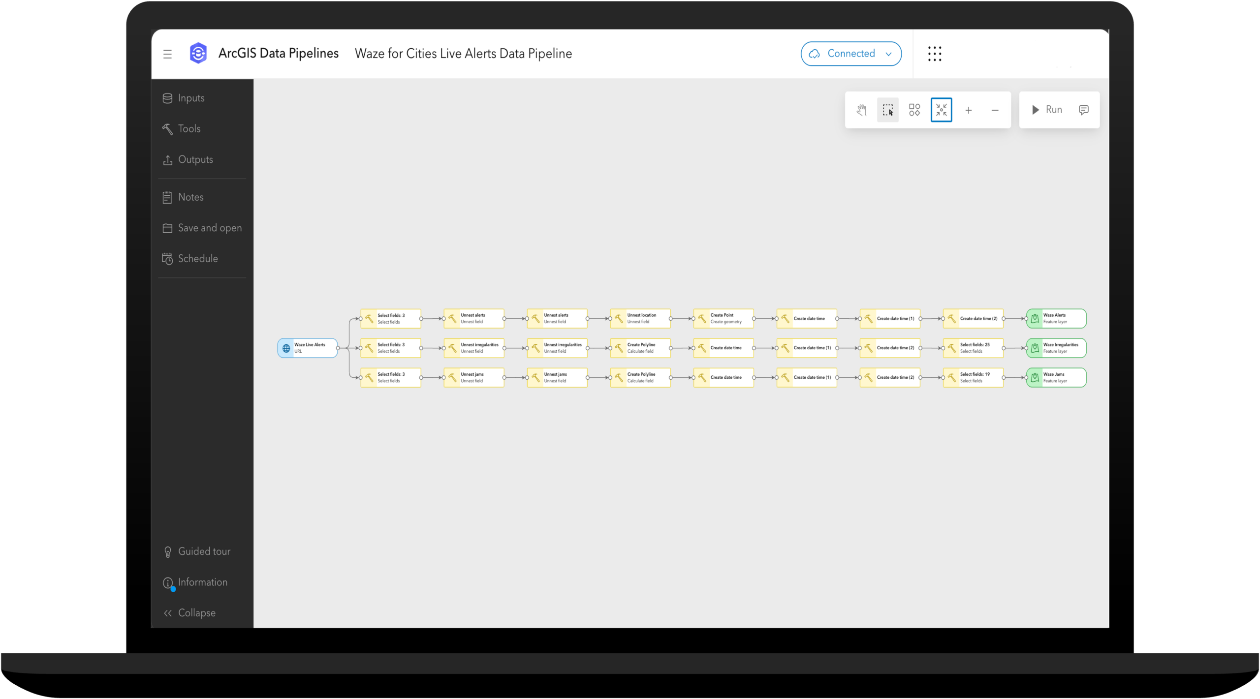
The new data pipeline allows you to:
Control update frequency — query the Waze for Cities API every 15 minutes for new alerts, or set a less frequent schedule that works for your community.
Filter by alert type — ingest the alert categories you care about: accidents, construction, hazards, jams, road closures, or all of the above.
Store historical data — write alerts to a layer and configure a retention policy that makes sense for your organization.
Conduct advanced analytics — feed incoming alerts directly into analytics that help you understand patterns, enrich with spatial context, or trigger notifications.
Getting started
To use the data pipeline, you must be a member of the Waze for Cities program and have a URL to your Waze feed. With those in hand, open the Waze for Cities Live Alerts Data Pipeline item and follow the configuration steps to create your Waze Live Alerts feed.
Share authoritative road closures with Waze
Esri partners with leading consumer mapping companies, like Google, to ensure that the public can easily access authoritative road closure contributions on their preferred mapping applications. The Community Maps Road Closures Live Feed helps you share up-to-date closure information with many leading consumer mapping companies.
Final note on Waze Live Alerts Marketplace layer
The existing Waze Live Alerts Layer in the ArcGIS Marketplace has been deprecated and will be retired in December 2026. If your organization is relying on Waze data for incident detection, pattern analysis, or integration into broader workflows, the new data pipeline is the right path forward.

Any plan to update your instructions for ArcGIS Enterprise?