ArcGIS Solutions helps you make the most of your GIS by providing purpose-driven, industry-specific configurations of ArcGIS.

In the July 2025 release, you will find six new solutions for state and local governments, utilities, and public safety agencies. There are also many enhancements to the existing solution portfolio that can be leveraged by organizations of all types.
What’s new
Project Cost Estimator
Many infrastructure organizations are facing increased austerity and effective project cost estimation helps utilities, public works, and many other organizations optimize their capital budgets. Accurate cost projections early in the planning process mitigate future project delays and cost overruns.
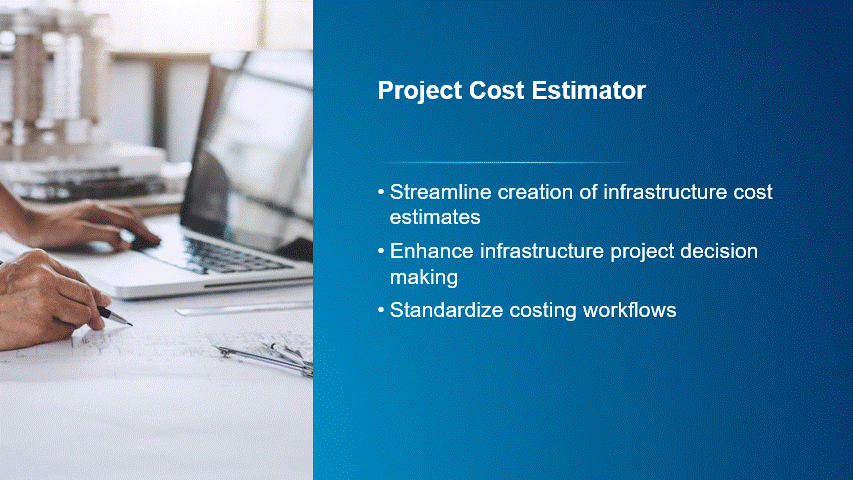
If you are an organization who wants to define new capital projects from existing asset information and quickly generate initial cost estimates, we believe the Project Cost Estimator solution will help.
Sidewalk Management
Sidewalks and curb ramps within the public right-of-way are essential community assets. Walkable pedestrian infrastructures significantly enhance the quality of life for all residents. Unfortunately, sidewalks and curb ramps deteriorate over time and accessibility standards have driven the need for further improvements.

If you are an organization who wants to understand where sidewalks are present in your community, and what condition these assets are in, we believe the Sidewalk Management solution will help.
Stormwater BMP Inspections
Stormwater Best Management Practices (BMPs) combine techniques and specific infrastructure to manage runoff and protect water quality. Stormwater BMPs can be located on public and private land and routine inspections are essential to ensure they continue to function properly.
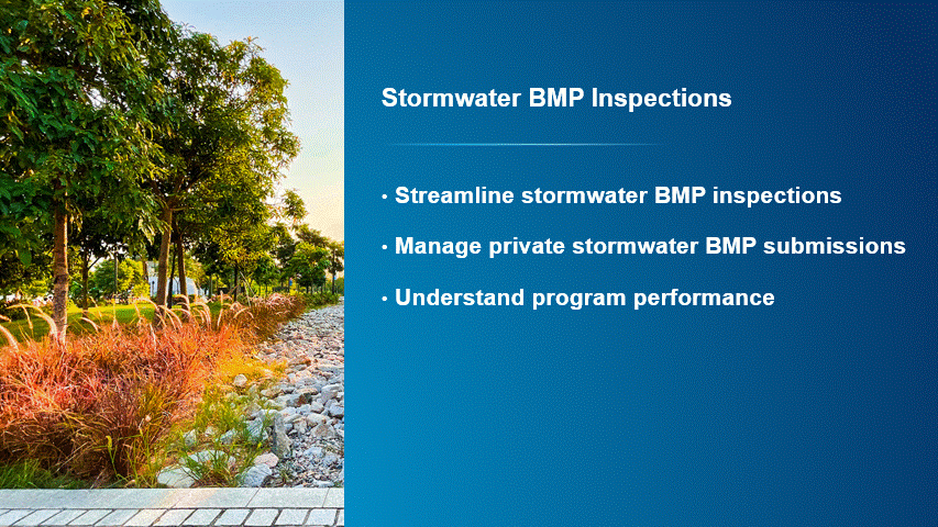
If you are an organization who wants to understand where stormwater BMP assets are located and implement a comprehensive inspection program, we believe the Stormwater BMP Inspections solution will help.
Transit On-Time Performance
Public transit agencies aim to provide high-quality transit services and on-time performance is one of the most common measures of an agency’s service reliability and efficiency. Maintaining on-time performance also helps transit agencies optimize route planning and scheduling, which minimizes the impact of unexpected delays.
If you are a transit agency who wants to leverage real-time vehicle locations to understand how transit services align with published schedules, we believe the Transit On-Time Performance solution will help.
Wildfire Protection Planning
Wildland fires are a formidable natural hazard that can be difficult to prevent and control. The rising incidence and intensity of wildfires, coupled with expanding development in the Wildland-Urban Interface (WUI), underscore the necessity for communities to proactively prepare for wildfire hazards. Communities with high wildfire risk may even develop a formal Community Wildfire Protection Plan (CWPP) to reduce wildfire risks and enhance public safety.

If you are an emergency management agency or fire department who wants to formally assess wildfire risk and identify effective mitigation activities, we believe the Wildfire Protection Planning solution will help.
Wind Site Data Management
Wind sites, or wind farms, are locations where groups of wind turbines convert the kinetic energy of wind to electricity and transmit it to the electrical grid. The number, and size, of onshore and offshore wind sites are increasing as the use of sustainable energy grows. As a result, operators need to understand where assets are located on their sites and what condition they are in.
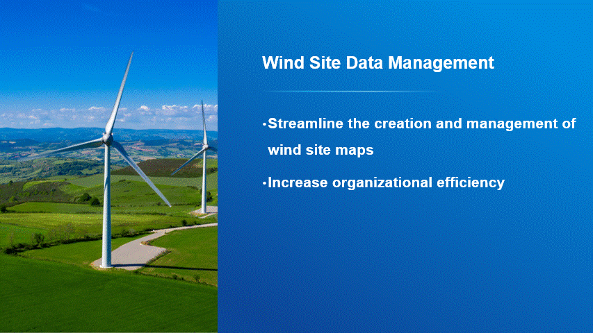
If you are a renewable organization who wants to develop an authoritative inventory of wind site assets and share this information with internal stakeholders, we believe the Wind Site Data Management solution will help.
Enhancements
There are thirteen major enhancements to the existing portfolio in this release.
- Adopt-A-Catch Basin
- Catch Basin and Outlet Inspections
- Combined Sewer Data Management
- Crime Problem Management
- Electric Utility Network Foundation
- Gas and Pipeline Referencing Utility Network Foundation
- Irrigation System Data Management
- Pipeline Referencing Foundation
- Police Transparency
- Sewer Data Management
- Sewer Manhole Inspections
- Stormwater Data Management
- Winter Weather Operations
Learn more about the minor enhancements to the existing solution portfolio also in this release.
Lifecycle changes
The following lifecycle changes have also occured.
- Green Infrastructure Inspections has been moved to the Mature lifecycle phase. Capabilities have been replaced with Stormwater BMP Inspections.
- The following State and Local Government solutions have been moved to Mature Lifecycle Phase: Community Science and Transit Safety.
- Winter Weather Outreach has been moved to the Mature lifecycle phase. Capabilities have been replaced with Winter Weather Operations.
- All solutions for ArcGIS Enterprise 11.2 have been moved to the Mature lifecycle phase. Users may continue to use any previously deployed solution.
Help documentation for solutions moved to the Mature lifecycle phase can be found on the Archived help page.
Learn more
For more information about ArcGIS Solutions, check out the following resources:
- Explore the ArcGIS Solutions gallery.
- Learn more about ArcGIS Solutions.
- View the full collection of solution demo videos available to the community.


Commenting is not enabled for this article.